Uskovnica (Razpotje) - Vernar
Starting point: Uskovnica (Razpotje) (1215 m)
| Lat/Lon: | 46,3267°N 13,9107°E |
| |
Time of walking: 4 h 45 min
Difficulty: very difficult pathless terrain
Altitude difference: 1010 m
Altitude difference po putu: 1215 m
Map: Triglav 1:25.000
Recommended equipment (summer): helmet
Recommended equipment (winter): helmet, ice axe, crampons
Views: 1.673
 | 2 people like this post |
Access to the starting point:
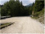
a) Leave the Gorenjska motorway at the exit for Lesce, then follow the signs for Bled and Pokljuka. Continue through Gorje and past the ski resort Zatrnik to Rudni Polje on Pokljuka, where there is a large pay parking lot and a military barracks and shooting range nearby. From here, continue straight along the macadam road, which leads us a little further to a crossroads, where we turn left in the direction of Uskovnica (right mountain pasture Konjščica). From here, drive another 500 m to the former parking lot above Uskovnica. This area is called Razpotje.
Nowadays, parking is forbidden in this parking lot, so you have to park at Rudno Polje, which will take about 35 minutes longer, or choose the starting point at Uskovnica (Lom).
b) From Železniki or Podbrdo, drive to Bohinjska Bistrica and then continue in the direction of Bled. Shortly after the Petrol station, which is located just after Bohinjska Bistrica, turn left in the direction of Pokljuka and Jereka. The road climbs steeply at first, then gradually flattens out behind Koriti, leading to a junction by the bus station, where you continue right in the direction of Pokljuka, Koprivnik and Jereka (straight ahead Srednja vas). Just after the crossroads we arrive at Jereka, and from the crossroads in front of the church we continue straight on towards Pokljuka (left Podjelje). After Jereka the road starts to climb steeply again, and higher up it levels off and continues along the Mrzle potok. When you join the road from Bled, go left and drive to Rudno Polje, where there is a large pay parking lot, and also a military barracks and a shooting range nearby. From here, continue straight on the macadam road, which leads us a little further to a crossroads where we turn left towards Uskovnica (right mountain pasture Konjščica). From here, drive another 500 m to the former parking lot above Uskovnica. This area is called Razpotje.
Nowadays, parking is forbidden in this parking lot, so you have to park at Rudno Polje, which will take about 35 minutes longer, or choose the starting point at Uskovnica (Lom).
Path description:
From the road closure, descend about 15 minutes to mountain pasture Uskovnica. Here there is a chapel and next to it drinking water at Uskovnica. Look for the path going to Vodnikov dom (the first one to the right of the chapel is wide cart track). The path is marked, but it is still difficult to find the start of the right path because of the large number of paths on Uskovnica. If you are not sure, it is better to ask someone if you have the chance. The path slowly leaves mountain pasture and hides in the woods, where you come across a small spring. Then walk along the western slopes of Ablanca, which are quite steep in places. Soon you come out of the forest, where you cross a considerable number of ravines. One is very awkward to cross. Caution! Just after this gully, cross a torrent of water, which dries up in dry periods. The path after this becomes easier. We are now walking under the slopes of Tosc. The path becomes a little steeper and splits into two parts. The two paths join after a one-hour climb on the Pokljuka - Triglav path, where you turn left. The trail continues crossing the southern slopes of Tosc. The path then crosses a short lane of sparse forest in a gentle descent and then leads to steep slopes. A little further on, the path crosses the precipitous slopes of Tosc on an artificially created wide ledge in a gentle descent. As the path is quite wide it does not cause any problems (caution due to falling rocks, rock fall in 2008). The path then climbs slightly again and leads us to a crossroads where we continue to the right in the direction of Vodnikov's home. There is a further walk of about ten minutes without any major ascents or descents to the Vodnik's home.
At the house, continue right in the direction of Krma (straight Triglav) along a steep path which first climbs by the botanical garden and then ascends over relatively steep, mostly grassy slopes. Higher up, the path becomes a small, undistinguished valley, which, after a few minutes of steep climbing, leads to the Bohinjska vratace (Bohinj Necks).
From Bohinjska vratca continue left on an unmarked path leading up a grassy slope. The grassy slope becomes steeper and steeper and is very dangerous for slipping, especially in wet conditions. Follow the steep track slightly to the left of the ridge up to a grassy headland at 2183m. From the summit, continue along the ridge, initially descending steeply down a rocky slope for a few metres. Continue along the ridge, which becomes quite narrow and exposed. Walk mainly on the left side of the ridge, with some cairns indicating the direction. There are a few more very short climbing spots (level I-II) and we are already at the top of Vernar.

Pictures:
 1
1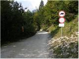 2
2 3
3 4
4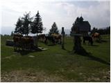 5
5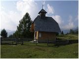 6
6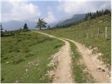 7
7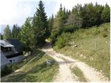 8
8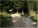 9
9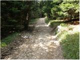 10
10 11
11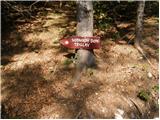 12
12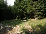 13
13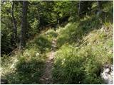 14
14 15
15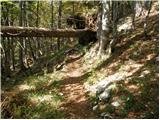 16
16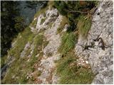 17
17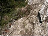 18
18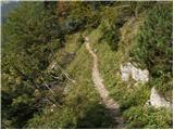 19
19 20
20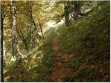 21
21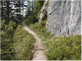 22
22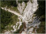 23
23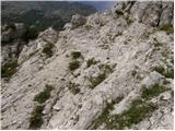 24
24 25
25 26
26 27
27 28
28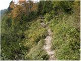 29
29 30
30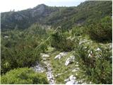 31
31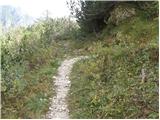 32
32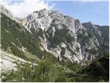 33
33 34
34 35
35 36
36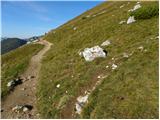 37
37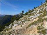 38
38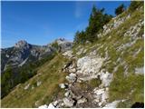 39
39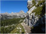 40
40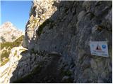 41
41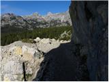 42
42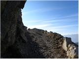 43
43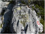 44
44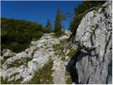 45
45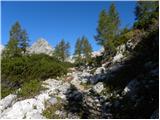 46
46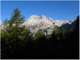 47
47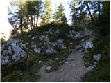 48
48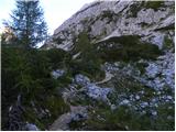 49
49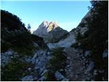 50
50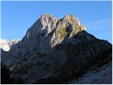 51
51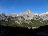 52
52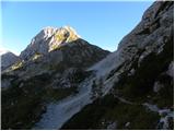 53
53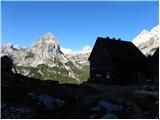 54
54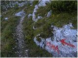 55
55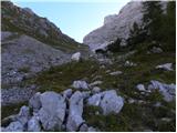 56
56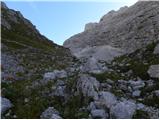 57
57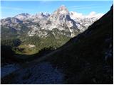 58
58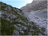 59
59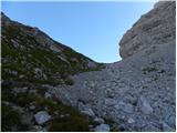 60
60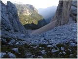 61
61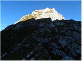 62
62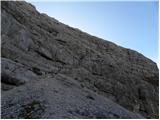 63
63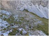 64
64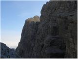 65
65 66
66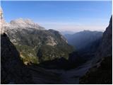 67
67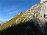 68
68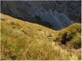 69
69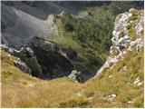 70
70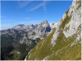 71
71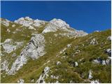 72
72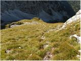 73
73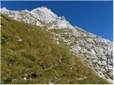 74
74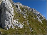 75
75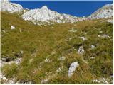 76
76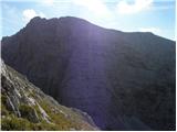 77
77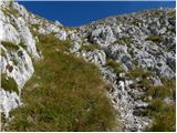 78
78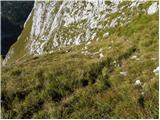 79
79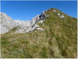 80
80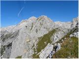 81
81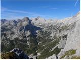 82
82 83
83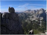 84
84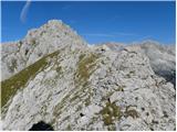 85
85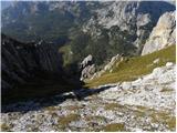 86
86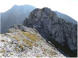 87
87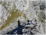 88
88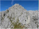 89
89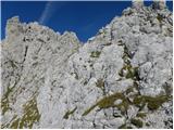 90
90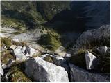 91
91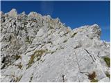 92
92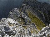 93
93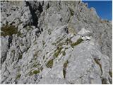 94
94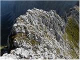 95
95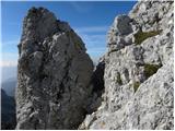 96
96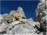 97
97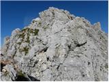 98
98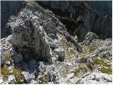 99
99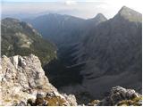 100
100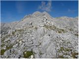 101
101
Discussion about the trail Uskovnica (Razpotje) - Vernar