V Koncu - Bivak pod Grintovcem (via Gamsov skret)
Starting point: V Koncu (900 m)
Name of path: via Gamsov skret
Time of walking: 3 h 15 min
Difficulty: very difficult unmarked way
Altitude difference: 1200 m
Altitude difference po putu: 1200 m
Map: Kamniške in Savinjske Alpe 1:50.000
Recommended equipment (summer): helmet
Recommended equipment (winter): helmet, ice axe, crampons
Views: 17.084
 | 2 people like this post |
Access to the starting point:
Drive into Kamnik and follow the road towards the Kamnik Bistrica valley. From your home in Kamniška Bistrica, continue driving along the forest road, which takes you higher up to a crossroads where you continue straight ahead (right Jermanca, starting point for Kamniško sedlo). The road then takes you past Žagana peči to the parking lot at the lower station of the cargo cableway to Kokrsko sedlo.
Path description:
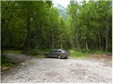
From the parking lot at the lower cable car station, continue along the road to the "upper car park". Here you will see two cart track on the left-hand side of the road next to the car park. The left-hand cart track, which is marked with signs on a tree, leads towards Kokrsko sedlo. We take the right cart track (this cart track is also on the left side of the road).
Initially, follow the above-mentioned cart track for a while, from which a few side tracks branch off, and then the track becomes a lane. Continue for some time on a narrow track through the forest. The path here follows the left side of the valley throughout, thus avoiding the steep rock jump in the lower part of the valley.
Once out of the forest, the path crosses a slightly steeper slope to the right and leads to grassy slopes. The ascent then follows a grassy terrain, which leads us to the foot of the Kogel walls.
Here the better-beaten track turns left towards the wall, and we continue slightly right along a narrow track. The path is quite poorly visible at this point and follows the left side of the torrent up the valley. The waterfall of the above-mentioned torrent (usually without water) can serve as a good orientation. The path turns left a little before the waterfall and enters the cliff.
Here the trail becomes very difficult and first we have to climb a few metres up an almost vertical slope. Then you climb up a narrow shelf, which crosses the slope to the right and leads to steep grassy slopes. Although the ledge is protected, the climb is quite difficult. It should also be borne in mind that the fixed safety gear are usually in slightly worse condition than we are used to on marked routes. We continue to climb for some time on fairly steep grassy slopes, then the slope becomes gradually less steep and the path leads us to an unexpected bench from which there is also a very nice view on all sides.
In the following, we climb up the grassy slope all the way to the marked Kokrsko sedlo - Kamniško sedlo trail.
Here we turn left and follow the marked trail, which soon leads us in slight downhills and uphills to a crossroads, where we continue left (right Grintovec and Skuta) in the direction of Kokrsko sedlo. After a short climb, you reach the bivouac, which you can already see in front of you.

Pictures:
 1
1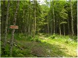 2
2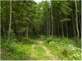 3
3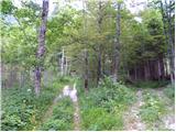 4
4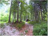 5
5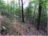 6
6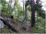 7
7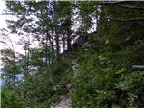 8
8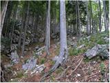 9
9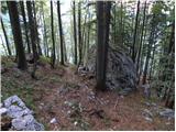 10
10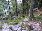 11
11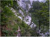 12
12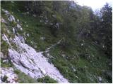 13
13 14
14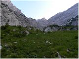 15
15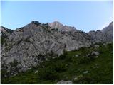 16
16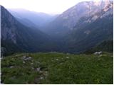 17
17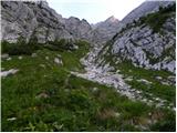 18
18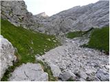 19
19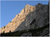 20
20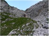 21
21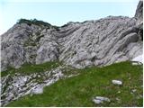 22
22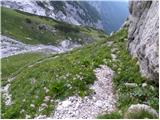 23
23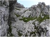 24
24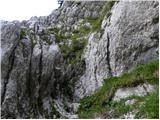 25
25 26
26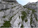 27
27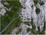 28
28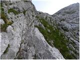 29
29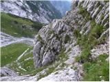 30
30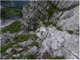 31
31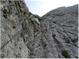 32
32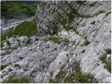 33
33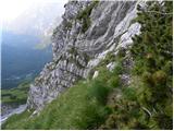 34
34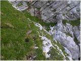 35
35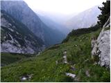 36
36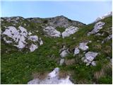 37
37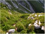 38
38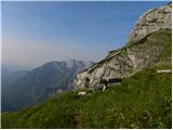 39
39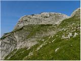 40
40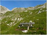 41
41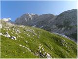 42
42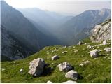 43
43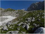 44
44 45
45 46
46 47
47 48
48 49
49 50
50 51
51 52
52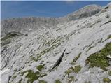 53
53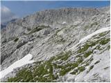 54
54 55
55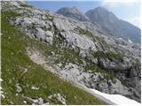 56
56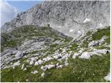 57
57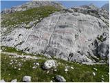 58
58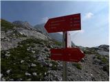 59
59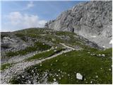 60
60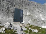 61
61
Discussion about the trail V Koncu - Bivak pod Grintovcem (via Gamsov skret)
|
| tjann7. 07. 2008 |
Izredno lepa pot, vendar če greš po zgoraj opisani varianti skreta sploh ne vidiš...
pod steno kogla se da tudi levo do strme grape, potem desno gor po njej,srečaš skret, pa čez zelo izpostavljeno poličko - smer klopca. naj pa opozorim da je ta varianta precej zahtevnejša, varoval ni, obvezna čelada, manj izkušenim pa priporočam spremstvo!
|
|
|
|
| Volk10. 07. 2008 |
Sicer pa gre zadeva lahko tudi takole. Avtor opisa omenja 'še eno parkirišče', nad prvim, pri tovorni žičnici. S tistega ne gremo po najbolj uvoženi 'cesti' naravnost (kamor se gre za na stezo čez Žmavcarje), ampak izberemo prvo vlako levo od nje (sicer so tukaj kar štiri)! Lagodno po njej, na njenem koncu pa se prične lepa stezica, ki pelje pod Kogel ...
Res pa je nezavarovana polica mimo Gamsjega Skreta kar precej težja od ojekleničene.
|
|
|
|
| jesihar17. 09. 2013 |
Kako pa je če želim v nasprotno smer do Kamniške bistrice.
Iz Legarjev (bivaka) grem proti Malim podom - nekje vmes se pa desno odcepi pot proti Gamsovemsu Skretu? Ali je odcep težko zapaziti?
|
|
|
|
| garmont17. 09. 2013 |
Od bivaka greš cca 20 minut proti Grebenu, nato pa zaviješ desno na lahek travnati svet.Potke sicer tu ni, se pa jasno nakazuje smer. V pomoč je nekaj možicev.Tvoja "pot" vodi navzdol in v levo in postaja čedalje strmejša in vedno bolj vidna.
Od tu naprej težav z orientacijo ni več.
Sta pa prehoda, kot že rečeno dva.
Lp
|
|
|