V Koncu - Grintovec (via Dolge stene)
Starting point: V Koncu (900 m)
| Lat/Lon: | 46,342°N 14,5682°E |
| |
Name of path: via Dolge stene
Time of walking: 5 h
Difficulty: very difficult pathless terrain
Altitude difference: 1658 m
Altitude difference po putu: 1658 m
Map: Kamniške in savinjske Alpe 1:50.000
Recommended equipment (summer): helmet
Recommended equipment (winter): helmet, ice axe, crampons
Views: 17.749
 | 5 people like this post |
Access to the starting point:
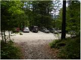
Drive into Kamnik and follow the road towards the Kamnik Bistrica valley. From Dom v Kamniški Bistrici continue driving along the forest road, which leads us higher up to a crossroads where we continue straight on (right Jermanca, starting point for Kamniško sedlo). The road then leads us past Žagana peči to the parking area at the lower station of the cargo cableway to Kokrsko sedlo.
After the new traffic sign, driving from the Kamniški Bistrica hut to the V Koncu parking lot is forbidden, which extends the journey by almost an hour.
Path description:
From the parking lot at the cargo cableway, follow the footpath towards Kokrsko sedlo and Grintovec. The path through the forest climbs gently at first, but this part of the path is short. After a few minutes of walking, the path starts to climb steeply and a little higher up we are helped by the fixed safety gear, which come in handy when the ground is wet and slippery (not difficult in dry conditions). However, the well visible and still steep trail starts to turn slightly to the right higher up. The steepness then eases for a short time and the path leads us out of the forest onto the avalanche slopes below Kokrsko sedlo. Here the path straightens out again and, with increasingly beautiful views (the most beautiful of which are of the peaks above the Kamnik Bistrica valley), climbs along the foot of the Kalška gora and Malá vrh walls. Easy to follow, but due to a lot of rocks (slightly overgrown scree) on the way, the path is tiring, and after a good 2 hour walk leads us to Kokrsko sedlo, where Cojzova koča (Cojz's hut) stands.
From the saddle, continue right in the direction of Grintovec, Kočna and Skute. The path climbs steeply immediately above the saddle and leads us slightly higher to a crossroads where the path to the bivouac under Grintovec and Skuta branches off to the right (straight Grintovec across Streha and Kočna). We take this initially slightly less visible path, which leads us in a moderate ascent to a picturesque passage over Mala vratca. Just before crossing Mala vratca, turn left, where you can see a faintly visible path leading along the ridge of the Long Walls. When you reach the first ridge, the view towards Grintovec opens up. From here on, follow the relatively flat grassy path along the ridge, orientation is not difficult in good weather. On the right side, the world drops steeply to Velika Pode, and we can see Pavle Kemperl's bivouac below Grintovec. After an hour and a half of walking, we reach the most challenging part of the route. From here, the trail climbs steeply up the south-eastern face of Grintovec, ending in the cirque of the Zgornja jame. The initial entrance is practically invisible, just keep slightly to the left, as the right part is more difficult. The terrain is very crumbly, so caution is needed. Here, cross a small jump and turn slightly left towards the ridge. After 30 minutes, the ridge is reached and the path becomes easier. Here the view opens towards Mlinarsko sedlo and Skuti, Cross left (moguls) and follow the path to the usual path over the roof some 10 m below the top of Grintovec. There is a short climb along a marked path and the summit is soon reached.

Pictures:
 1
1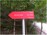 2
2 3
3 4
4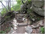 5
5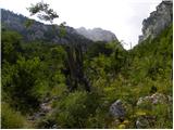 6
6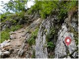 7
7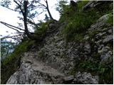 8
8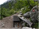 9
9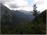 10
10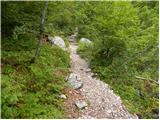 11
11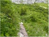 12
12 13
13 14
14 15
15 16
16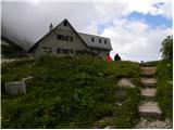 17
17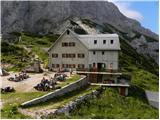 18
18 19
19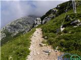 20
20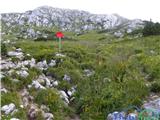 21
21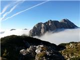 22
22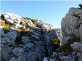 23
23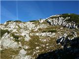 24
24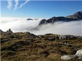 25
25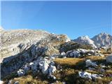 26
26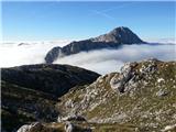 27
27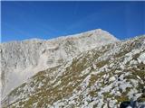 28
28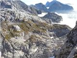 29
29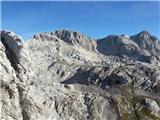 30
30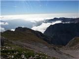 31
31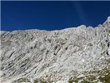 32
32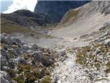 33
33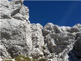 34
34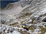 35
35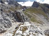 36
36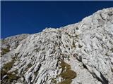 37
37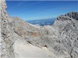 38
38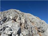 39
39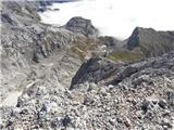 40
40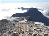 41
41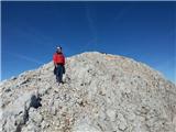 42
42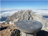 43
43
Discussion about the trail V Koncu - Grintovec (via Dolge stene)
|
| CarpeDiem24730. 10. 2014 |
Tale pot je precej zanimivejša kakor klasična (čez Streho). Kdor ima vsaj nekaj izkušenj z visokogorjem, lahko uporabi to pot za vzpon in potem spust preko Strehe. Ne bo vam žal! 
|
|
|
|
| borutpovse30. 10. 2014 |
Koliko pa naj bi trajala pot iz te smeri? LP
|
|
|
|
| franca31. 10. 2014 |
Približno toliko kot čez streho. Če zgrešite optimalno smer, pa malo dlje
|
|
|
|
| Branee31. 10. 2014 |
jest nevem kdo je tle bolj nor.. Tisti ki sprasuje ali ta ki odgovarja? Vse pise na tej taisti strani, dejte mal sive celice uporabljat
|
|
|
|
| CarpeDiem24731. 10. 2014 |
V nekem starem planinskem vodniku (knjižici) se še spomnim, da sem pred leti bral o obeh navedenih poteh, ki sta imeli izhodišče pri Cojzovi koči in za obe je veljalo 2h do vrha prvaka KSA. 
|
|
|
|
| Tonetone18. 06. 2017 |
Objavljeni opis je v zgornji polovici povsem napačen in opisuje zimsko inačico, ki se imenuje Smer čez Dolge stene. Prava opuščena pot SPD poteka drugje. Od grebena Dolgih sten se odcepi levo, preden se začne greben strmo dvigati. Prečimo vodoravno levo pod najnižji del stene, kjer so vidni ostanki steze v melišču, na skalah pa so tudi še vidne obledele rdeče oznake. Pot vodi od tukaj okoli 100 m skoraj vodoravno proti levi, nato se začne poševno dvigati. Zadnjih 100 m se vzpenja skoraj naravnost gor. Na rob, kjer je večji možic in dosežemo markirano pot, pridemo okoli 150 višinskih metrov pod vrhom.
|
|
|
|
| alesfon21. 07. 2020 |
Danes prehodil to pot. Od Vratc do grebena vidna stezica in pa kje pa kje sled rdeče barve... dejansko lahk greš ves čas po grebenu, kjer so lepi razgledi. Zadnji del sem se držal rdeče linije (iz slike prejšnjega komentarja). Na začetku sem malce iskal vstop nato pa samo sledil možicem (nekaj sem jih popravil). Ves čas se malce pleza vendar ni pretežko in niti preveč krušljivo. Lepa pot, ki jo bom še ponovil.
|
|
|
|
| hribba3. 10. 2021 21:27:01 |
Včeraj sem se že tretjič odpravil po tej prečudoviti poti. Sestop preko Kalške gore po lovski poti k Žagani peči. Opis in slike - Grintovec čez Dolge stene
|
|
|
|
| CarpeDiem2476. 11. 2022 22:04:48 |
Ta pot je vsekakor dobra alternativa Strehi, obenem bolj samotna in vredna obiska.
|
|
|
|
| Tonetone7. 09. 2025 13:01:43 |
Ne vem, zakaj nista vidni sliki, ki sem ju priložil. Linka sta nedelujoča. Sliki lahko ponovno pošljem, saj brez njih opis ni popoln.
|
|
|
|
| turbo7. 09. 2025 13:18:29 |
Poročilo o turi moraš objaviti v rubriki Forum - Razmere, tam lahko dodaš fotografije, tukaj to žal ne gre.
|
|
|
|
| Krrokarr6. 11. 2025 17:07:56 |
Zakaj tu opis še vedno ni popravljen?  Prav je, kot je napisal Tonetone. Se da kako obvestiti moderatorje?
|
|
|
|
| Tadej7. 11. 2025 10:46:18 |
Hvala za opozorilo.
Če prav razumem, glede na napisano samo spremenim ime poti na Smer po jugovzhodnem grebenu?
|
|
|