Valbruna/Ovčja vas - Svete Višarje / Monte Lussari
Starting point: Valbruna/Ovčja vas (807 m)
| Lat/Lon: | 46,4964°N 13,5006°E |
| |
Time of walking: 2 h 30 min
Difficulty: easy marked way
Altitude difference: 959 m
Altitude difference po putu: 959 m
Map: Julijske Alpe - zahodni del 1:50.000
Recommended equipment (summer):
Recommended equipment (winter): ice axe, crampons
Views: 50.831
 | 1 person likes this post |
Access to the starting point:
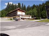
From Kranjska Gora, take the Rateče border crossing to Trbiž / Tarvisio. Continue along the old road to Udine. After a few kilometres from Trbiz / Tarvisio, the road to Ovčje vas / Valbruna turns off to the left. Follow the road to the large parking lot at the bottom station of the old circular cable car.
Path description:
From the parking lot, continue along the road, but only for about a minute, as then you will see a worse forest road heading uphill to the left. The road, which initially climbs, then barely climbs significantly. After about 20 minutes' walk from the parking lot, the road crosses a torrent, and about 10 metres before the torrent, a marked path to Svete Višarje branches off to the left. At the very beginning of the footpath, we come across an overgrown path that leads us through tall grasses and bushes into the forest. The path through the forest is easier to follow, but quite steep. Further on, the path is marked, but the markings have faded. The steep path leads us down a sometimes very steep slope, which is a slip hazard in wet conditions. The steepness eases when the path leads to a woded ridge. The steepness then continues to subside, and the path leads us to the ruins of old wooden huts. At this point the path crosses an overgrown area and then begins to climb moderately again. The path continues past two more similar underpasses, then climbs under an old cable car. From here on, the marked path is lost in the tall grass, so it is advisable to turn right up the path, where you will reach the ski slope in a few steps.
The path continues along the stone cart track, which runs along the edge of the ski slope.
Walking on the ski slope is forbidden in winter!
There are beautiful views as you walk along the ski slope. A little higher up, we come to a junction of two ski runs, and we head steeply uphill to the right. Here we can see the transmitters at Sveti Višarja in front of us. When the slope drops, we go around the transmitters on the left and the path leads us to the upper station of the circular cable car.
There is only a short climb to the church. A few metres above the church, there is a wonderful view of the surrounding mountains.

Pictures:
 1
1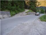 2
2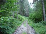 3
3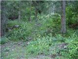 4
4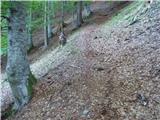 5
5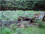 6
6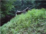 7
7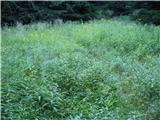 8
8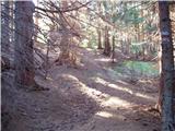 9
9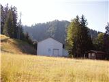 10
10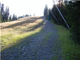 11
11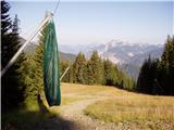 12
12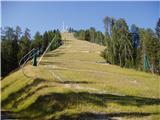 13
13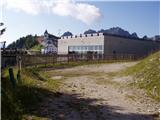 14
14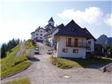 15
15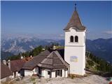 16
16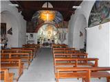 17
17
Discussion about the trail Valbruna/Ovčja vas - Svete Višarje / Monte Lussari
|
| VanSims9. 12. 2013 |
Markacije na tej poti so lepo obnovljene(prehojena v obratni smeri junija letos), tako da bi pot morda premaknili med označene.
|
|
|
|
| klm10. 12. 2013 |
Opisana pot je bila markirana že davno pred časom opisa poti, tako da gre že ves čas za označeno pot. Navsezadnje gre tudi za eno najstarejših Višarskih romarskih poti.
Njen začetek pa je pravzaprav v centru vasice, nasproti hotela Saisera, kjer je urejeno tudi parkirišče.
|
|
|
|
| POLJANC10. 12. 2013 |
Zanima me ali je pot v zimskem času shojena.lp.
|
|
|
|
| klm10. 12. 2013 |
Ta pot je že v kopnem redko obiskana, pozimi pa sameva. CAi 613 iz Žabnice oziroma iz zaselka Visarje (Lussari) pa je pozimi shojena.
|
|
|