Starting point: Valbruna (807 m)
| Lat/Lon: | 46,4859°N 13,4895°E |
| |
Time of walking: 2 h
Difficulty: easy marked way
Altitude difference: 708 m
Altitude difference po putu: 708 m
Map: Julijske Alpe - zahodni del 1:50.000
Recommended equipment (summer):
Recommended equipment (winter): ice axe, crampons
Views: 5.294
 | 1 person likes this post |
Access to the starting point:
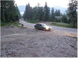
After crossing the Rateče or Predel border crossing, drive to Trbiz / Tarvisio, then continue along the old road to Udine. Soon you will see the signs "Valbruna", which direct you to the left onto the local road, which takes you past the old cable car to Višarje to Ovčje vas / Valbruna. At the crossroads where you join the road from Ukve / Ugovizza, turn left and continue driving for another 100 m or until you see the signs for the Zita Chapel / Cappella Zita. Park in a suitable place near the mountain direction signs.
Path description:
From the parking lot, take the minor road towards "Malga Rauna, Cap. The road climbs steeply, first gently, then in a series of serpentines. Higher up, on the left side of the road, you can see a beautiful waterfall, but it lays down here and leads us a little further into Koroški kot. A little further on, the road turns to the right, and the markings direct us slightly to the left on a steep footpath, which crosses the road a few more times higher up. The marked trail continues higher up the road again, and we follow it all the way to Planina Ravna, where there is a small bivouac. From the bivouac we continue on the marked path, which in a few 10 steps of further walking we reach the chapel of Zita.
Pictures:
 1
1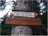 2
2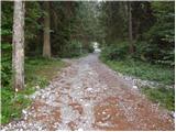 3
3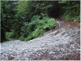 4
4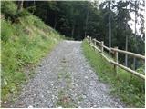 5
5 6
6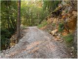 7
7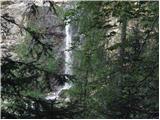 8
8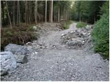 9
9 10
10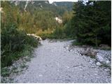 11
11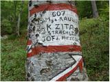 12
12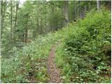 13
13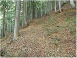 14
14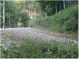 15
15 16
16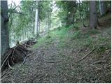 17
17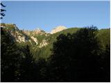 18
18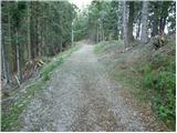 19
19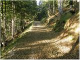 20
20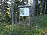 21
21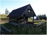 22
22 23
23 24
24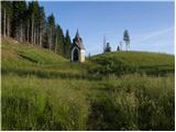 25
25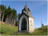 26
26
Discussion about the trail Valbruna - Planina Ravna