Valvasorjev dom pod Stolom - Weinasch/Vajnež
Starting point: Valvasorjev dom pod Stolom (1181 m)
| Lat/Lon: | 46,426°N 14,1468°E |
| |
Time of walking: 3 h 30 min
Difficulty: easy unmarked way
Altitude difference: 923 m
Altitude difference po putu: 1070 m
Map: Karavanke - osrednji del 1:50.000
Recommended equipment (summer):
Recommended equipment (winter): ice axe, crampons
Views: 27.252
 | 1 person likes this post |
Access to the starting point:
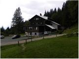
From the Ljubljana - Jesenice motorway, take the Lesce exit and follow the road towards Žirovnica and Jesenice. After a few km of driving, you will come to a crossroads where the road to Žirovnica and Moste turns right (from Jesenice, left). Just a few metres further, at the next crossroads, turn left into Moste (right into Žirovnica). Continue past the memorial to the fallen fighters, where the road starts to climb uphill under the railway line. At the top of the hill, turn right (at the Vila Karin sign) and we continue towards Završniškem jezero and Valvasor's home. The road then bends and leads to a crossroads where the road to Valvasor's home branches off to the left. Take the road mentioned above (straight ahead to the cottage at the source of the Završnice River), which begins to climb, first gently and then steeply, along a road that is sometimes quite rough (the steepest parts are asphalted). Higher up, the road leads to a slightly larger junction, where we continue left in the direction of Potoška planina (to the right of the Doslovška mountain pasture). The road then lays down and leads us a little further on to the next crossroads. This time continue slightly right in the direction of Valvasor's home (slightly left Ajdna and Potoška planina) and follow the steeper road all the way to the home. Park in one of the parking lots along the road near the mountain home, but parking in front of the home is only allowed for guests.
From Poljane (crossroads in front of the Završnice lake) to the Valvasor's home is 5 km.
Path description:
From Valvasor's house, turn right on the footpath towards Hochstuhla. The path soon goes into the forest, where it climbs slightly and leads to a small crossroads, where you continue to the right. The path then leads out of the forest, where it crosses the slopes below Monštranca. Follow this gently sloping and partly scenic path, which crosses a short lane of forest a little further on, to the crossroads at Žirovniška mountain pasture.
Continue left in the route "Hochstuhl - Žirovniška pot" (slightly right Hochstuhl Zabreška pot) along the path, which only slightly higher passes into a dense forest, where it continues for the next 10 minutes. The forest then thins out and the path passes through scrub, through which it then climbs until it reaches the next lane of the forest. When you re-enter the forest, you will come to a pile of stacked logs and a sign above them "asking" you to carry them, if you can, to Prešeren's hut. A little further on, we leave the forest, and then climb steeply along the edge. Higher up, the path turns slightly to the left and crosses a short, slightly exposed grassy slope. The path then gently lays down for a short time and leads us to a pleasant resting place, from which we have a beautiful view of Gorenjska.
The path climbs steeply again, this time along a slope that is mostly covered with dwarf pines. Higher up, the path turns slightly to the right and leads us from dwarf pines to grassy slopes, where we also arrive at a less visible crossroads.
At this crossroads, leave the path leading to Prešeren's hut and continue the ascent slightly left into the valley between the two Hochstuhl. After a short ascent, the valley is reached and the path leads to a marked crossroads at the intermittent spring. Here, continue left in the direction of Kahlkogel (straight Hochstuhl) and gradually start descending the other side of the aforementioned valley. A little lower, you reach the ridge connecting Hochstuhl with Potoski Stol. Continue along and along the ridge, initially a little further down. A short climb follows and the path leads us to a wooden cross and a few 10 metres further to the top of Potoški Stol.
From Potosko Stol, the marked path turns right and descends in a few minutes towards Weinasch's saddle. Here, continue left, and after a few 10 steps you will reach a small crossroads, where a fallen mountain sign for Vajnež directs you right to the initially still nicely traceable path. Higher up, the path disappears, and we reach the scenic summit in a few minutes, following the easier pathless grassy world.

We can extend the trip to the following destinations: Stol
Pictures:
 1
1 2
2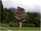 3
3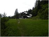 4
4 5
5 6
6 7
7 8
8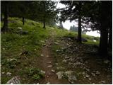 9
9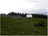 10
10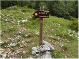 11
11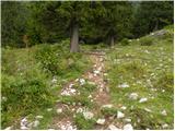 12
12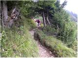 13
13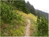 14
14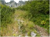 15
15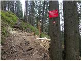 16
16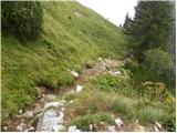 17
17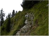 18
18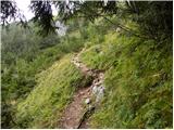 19
19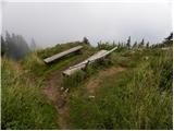 20
20 21
21 22
22 23
23 24
24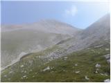 25
25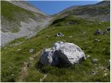 26
26 27
27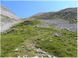 28
28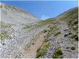 29
29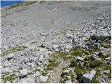 30
30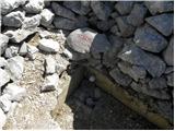 31
31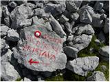 32
32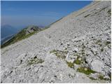 33
33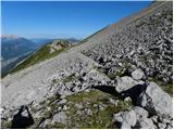 34
34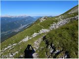 35
35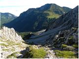 36
36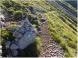 37
37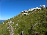 38
38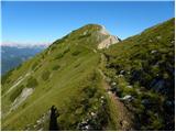 39
39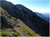 40
40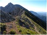 41
41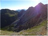 42
42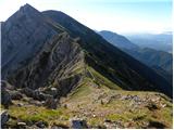 43
43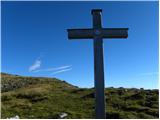 44
44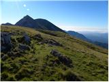 45
45 46
46 47
47 48
48 49
49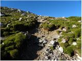 50
50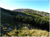 51
51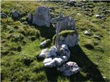 52
52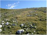 53
53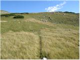 54
54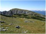 55
55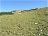 56
56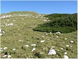 57
57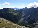 58
58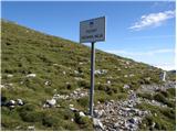 59
59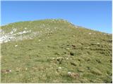 60
60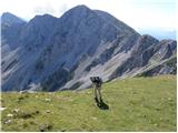 61
61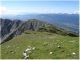 62
62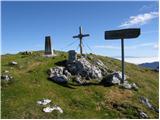 63
63 64
64
Discussion about the trail Valvasorjev dom pod Stolom - Weinasch/Vajnež
|
| mako4419. 08. 2012 |
lepe fotke....malo pazi na svojo senčko, ko slikaš xixix sicer pa super...varen korak dalje.Stol, lepi spomini, ko so nam Korošci nosili kavo, mi pa njim tobak in cigarete še za časa SFRJ....je bil kar lep hec! lp
|
|
|
|
| Majdag16. 07. 2019 |
14.7. ..Stol, Potoški Stol, Vajnež, Mali vrh - grebensko prečenje. Veliko je cvetočih rožic ob poteh. Prečenje grebena Belščice se spušča in dviga in trave so strme. Od bivaka Belščica je sestop od podrtega lanskega drevja malo zoprn. Obhod je narejen počez čez vlažno, strmo pobočje. Meni je na koncu zdrsnilo, pa sem pazila na vsak korak. Na srečo nič hudega. Lepa krožna pot.   https://jelenkamenmajdag.blogspot.com/2019/07/od-stola-do-malega-vrha-po-grebenu.html https://jelenkamenmajdag.blogspot.com/2019/07/od-stola-do-malega-vrha-po-grebenu.html
|
|
|
|
| lina1229. 09. 2023 09:07:27 |
28. 9. 2023 - obiskala Potoški Stol in Vajnež. Lepa pot, ki gre sprva po Žirovniški poti na Stol, potem pa zavije levo na sedlu pod Stolom (tam se najde tudi en izvirček vode) in preči melišče. Pot se kasneje vije po grebenu in gre malo gor, malo dol. Križ na Potoškem Stolu je malo dotrajan, manjka zgornji del, žiga ni. Vajnež pa ima tako žig, kot vpisno skrinjico. Vračala sem se po isti poti.
|
|
|