Velenje (Stari trg) - Veliko Gradišče
Starting point: Velenje (Stari trg) (388 m)
| Lat/Lon: | 46,35822°N 15,10805°E |
| |
Time of walking: 1 h
Difficulty: easy marked way
Altitude difference: 199 m
Altitude difference po putu: 205 m
Map: Šaleška dolina z okolico 1:50000
Recommended equipment (summer):
Recommended equipment (winter):
Views: 535
 | 1 person likes this post |
Access to the starting point:
a) From the motorway Ljubljana - Maribor, take the exit Žalec and then continue in the direction of Velenje.
At Velenje, at the second (main) roundabout, under the ski jump, continue straight on (2nd exit) in the direction Šoštanj - Mozirje.
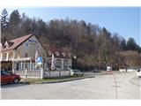
Turn left at the traffic lights and then immediately right into the parking lot (parking is free).
b) From Koroška direction, take Slovenj Gradec towards Velenje. In Velenje at the first (main) roundabout, under the ski jump,
continue right (1st exit) in the direction Šoštanj - Mozirje.
At the traffic lights, turn left and then immediately right into the parking lot (parking is free).
Path description:
Go west to the end of the parking lot, where you will see the start of a steep path into the forest on your left.
The steepness quickly eases at the start and you walk along a well-worn forest path along the slope of Gradišče.
The path is well marked. The trail splits at some parts and joins up again higher up.
When we come out of the forest, we see the Church of St James. Follow the asphalted road to the church, where you continue left along a wide forest path.
At the forks, always follow the path upwards. From the church to the top is about 400 m.
Pictures:
 1
1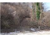 2
2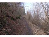 3
3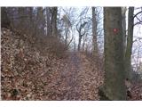 4
4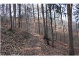 5
5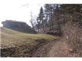 6
6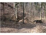 7
7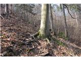 8
8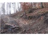 9
9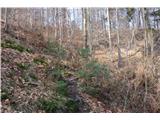 10
10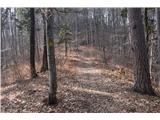 11
11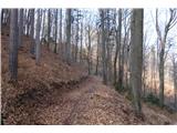 12
12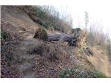 13
13 14
14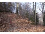 15
15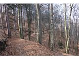 16
16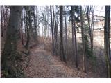 17
17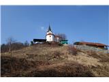 18
18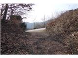 19
19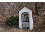 20
20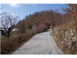 21
21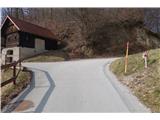 22
22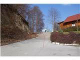 23
23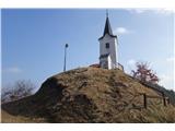 24
24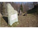 25
25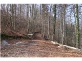 26
26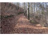 27
27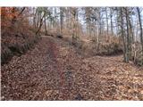 28
28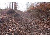 29
29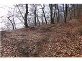 30
30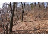 31
31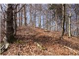 32
32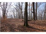 33
33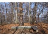 34
34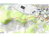 35
35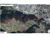 36
36
Discussion about the trail Velenje (Stari trg) - Veliko Gradišče