Velika Ilova Gora - Gradišče above Ilova Gora
Starting point: Velika Ilova Gora (529 m)
| Lat/Lon: | 45,8916°N 14,73197°E |
| |
Time of walking: 20 min
Difficulty: easy unmarked way
Altitude difference: 72 m
Altitude difference po putu: 72 m
Map: Atlas Slovenije 1:50.000
Recommended equipment (summer):
Recommended equipment (winter):
Views: 974
 | 2 people like this post |
Access to the starting point:
The starting point is in front of the fire station in Velika Ilova Gora. You can get here by leaving the motorway at Grosuplje and following the signs for Mlačevo, Videm. At the beginning of the village Veliko Mlačevo we have two options. You can continue straight on towards Luce and after 4km turn right at the sign for Ilova Gora. Or go right at the crossroads (direction Račna) along the main road through Radensko polje and shortly after the village Čušperk turn left after the signs for Mala Ilova Gora. Both roads lead uphill to the village of Velika Ilova Gora, where you park in front of the fire station.
Path description:
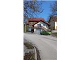
From the fire station, go up past the church on the main asphalt road through the village. When the road turns left, it soon becomes macadam and turns into a forest. After a few minutes' walk you reach a house where you see a faint cart track on the right behind a large cherry tree up across the meadow. Go across the meadow and then the path goes into the woods again. Follow this straight ahead for a few minutes, when you soon see a peak with a flag. The views open up to the SE (Krka valley), S (Korinjski vrh, Hočevje), SW (Grmada, Kamen Vrh, Sv. Ana, Snežnik) and E (Ostri Vrh with the flag).
Pictures:
 1
1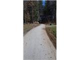 2
2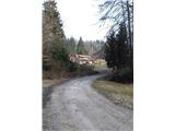 3
3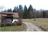 4
4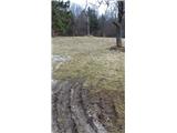 5
5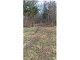 6
6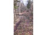 7
7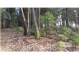 8
8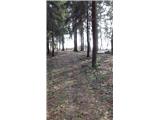 9
9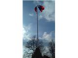 10
10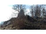 11
11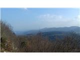 12
12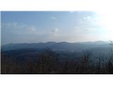 13
13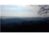 14
14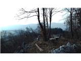 15
15
Discussion about the trail Velika Ilova Gora - Gradišče above Ilova Gora