Velika Varnica - Sveti Avguštin (steep path)
Starting point: Velika Varnica (264 m)
Name of path: steep path
Time of walking: 30 min
Difficulty: easy unmarked way
Altitude difference: 240 m
Altitude difference po putu: 240 m
Map:
Recommended equipment (summer):
Recommended equipment (winter):
Views: 5.686
 | 1 person likes this post |
Access to the starting point:
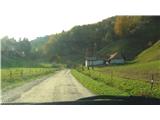
From Ptuj, follow the regional road towards Trakoščan. In Vidmo near Ptuj, cross the Dravinja and continue in the direction of travel through Zgornji Leskovec. Just before the Zgornji Leskovec border crossing, a small signpost points to the right, into a narrower valley. After about a kilometre, the asphalt ends and we continue on a good dirt road for about 500 m. When you see a farm on the right and a chapel on the left side of the road, park (either on the roadside or in the farm yard).
Path description:
From the parking lot, head past the chapel and up the hill through the pasture. At the end of the pasture, the path leads into the forest. There is a short climb up a stream, at the end of which you come to an overgrown meadow. After a while you reach a road. Turn up and follow the road to the top.
The path splits several times in the forest, but don't worry, it soon joins up again so that you can't get lost.
Pictures:
 1
1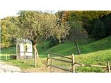 2
2 3
3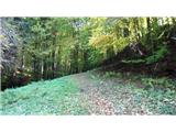 4
4 5
5 6
6 7
7 8
8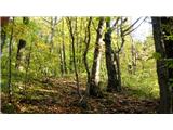 9
9 10
10 11
11 12
12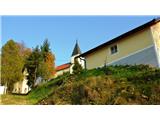 13
13 14
14 15
15 16
16 17
17 18
18
Discussion about the trail Velika Varnica - Sveti Avguštin (steep path)
|
| Hana27. 10. 2009 |
Krasen popoldanski izlet. Toplo priporočam! 
|
|
|
|
| DomenV27. 10. 2009 |
Če ima kdo kakšno vprašanje o tem "neznanem" haloškem vrhu, naj me kontaktira.
|
|
|