Velika vrata - Velika Plešivica
Starting point: Velika vrata (760 m)
| Lat/Lon: | 45,5131°N 14,0292°E |
| |
Time of walking: 25 min
Difficulty: easy marked way
Altitude difference: 148 m
Altitude difference po putu: 148 m
Map: Slovenska Istra - Čičarija, Brkini in Kras 1:50.000
Recommended equipment (summer):
Recommended equipment (winter):
Views: 5.310
 | 1 person likes this post |
Access to the starting point:
From the Ljubljana - Koper motorway, take the Kozina exit and follow the road towards Rijeka. In the village Obrov turn right towards the village Golac. After a few km of driving, you will reach the above-mentioned village, where you continue to the right (straight ahead Zagrad) and follow the road, which becomes a macadam road at the end of the village, towards Veliki vrata. Higher up, the road from the village Zagrad joins us from the left (access is also possible on this road), and we continue straight ahead and follow the road to the Velika vrata pass, where we park (Velika vrata is located at the 8km road sign).
Path description:
From Veliki vrata turn right on cart track in the direction of Slavnik and Velika Plešivica. Just a few steps after leaving the road, cart track leads to a grazing area where horses graze. Here, signs direct us over a grazing fence onto a grassy slope, which we then climb along a path that is at first very difficult to see. During the ascent through the grazing area, we are helped by a few markings, which are quite sparse in the lower part. Higher up, the path becomes more distinct and the markings are more frequent. This increasingly scenic route is then followed to the top of Velika Plešivica.
Pictures:
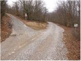 1
1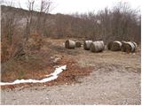 2
2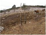 3
3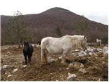 4
4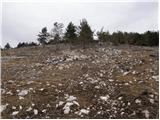 5
5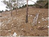 6
6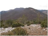 7
7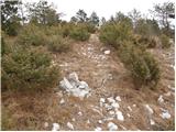 8
8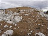 9
9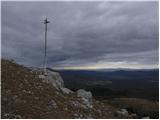 10
10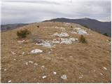 11
11 12
12
Discussion about the trail Velika vrata - Velika Plešivica
|
| grega_p16. 05. 2010 |
Markacij sicer ne manjka, je pa zato pot skrita med zaraslim rastlinjem... Vendar je orientacija lahka in po 25 min borovcev, žajblja in materine dušice pridemo na razgleden vrh..
Kratko ali sladko.
lp
G.
|
|
|