Vikrče - Grmada (Mazijeva steza)
Starting point: Vikrče (320 m)
| Lat/Lon: | 46,1285°N 14,4446°E |
| |
Name of path: Mazijeva steza
Time of walking: 1 h 5 min
Difficulty: easy marked way
Altitude difference: 356 m
Altitude difference po putu: 356 m
Map: Ljubljana - okolica 1:50.000
Recommended equipment (summer):
Recommended equipment (winter): ice axe, crampons
Views: 6.729
 | 1 person likes this post |
Access to the starting point:
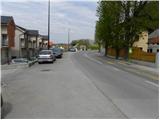
a) From the Ljubljana - Jesenice motorway, take the Ljubljana - Šmartno exit and then continue to Tacno. In Tacno, just before the road crosses the Sava River via a bridge, turn slightly right in the direction of Pirnič. Just after Ljubljana ends, we arrive in Vikrče, and we follow the road to the Kovač Inn, which is located near the bus stop. There are no suitable parking places at the starting point.
b) From Šentvid, drive to Tacen, then turn left immediately after the bridge over the Sava River towards Pirničy. Just after Ljubljana ends, we arrive in Vikrče, and we follow the road to the Kovač Inn, which is located near the bus stop. There are no suitable parking places at the starting point.
c) From Medvode, drive to Zgornje and then Spodnje Pirniče, and we follow the road to Tacno. When we arrive in Vikrče, we join the road leading from Smlednik to Tacno, and we continue to the right here and follow the road to the nearby Kovač Inn, where the starting point of our route is. There are no suitable parking places at the starting point.
d) The starting point can also be reached by LPP bus 15.
Path description:
From the Kovač Inn, first walk along the road leading to Tacen, then, when the main road makes a slight right turn, continue slightly left onto the narrower local road (there is a no-driving sign at the junction, and an information board for the forest trail along the Šmarnogorski Grmada near the sign). Follow the narrow asphalt road quickly to a private parking lot, where the climbing trail to Grmada turns sharp left, and we continue straight ahead and follow the road to a signboard with the word "private" on it. Here we continue slightly left on a marked footpath, which begins to climb gently through the forest. After a good 10 minutes of further walking, we arrive at the next crossroads, where we continue left in the direction of Mazi's path (straight on the path through Zatrep and Tacen).
The path ahead begins to climb steeply through the forest, and we begin to get occasional views towards the valley and part of the Polhograjske Dolomites. Higher up, the trail leads to the Grmada ridge, where we join the Pogačnik and Westro trails.
At the crossroads, continue to the right, and we follow the ridge trail, which continues through the forest, all the way to the top of Grmada.

We can extend the trip to the following destinations: Šmarna gora
Pictures:
 1
1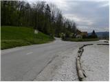 2
2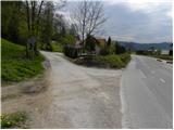 3
3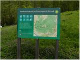 4
4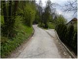 5
5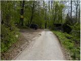 6
6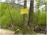 7
7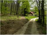 8
8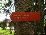 9
9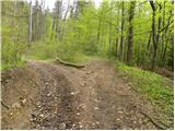 10
10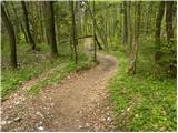 11
11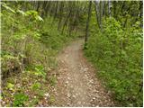 12
12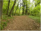 13
13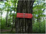 14
14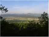 15
15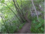 16
16 17
17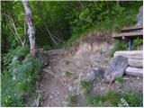 18
18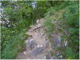 19
19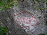 20
20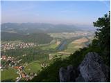 21
21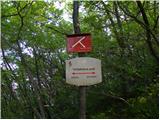 22
22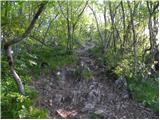 23
23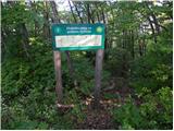 24
24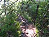 25
25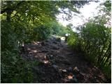 26
26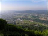 27
27
Discussion about the trail Vikrče - Grmada (Mazijeva steza)
|
| balon5. 08. 2022 11:39:46 |
Pozdravljeni,
ali se še da parkirati pri sliki 6?
Hvala za odgovor.
|
|
|
|
| ben5. 08. 2022 13:31:16 |
Da se, je pa na tretji sliki znak za prepoved prometa, razen za stanovalce in lastnike zemljišč. Tako, da .... prostora je dovolj , če pa kakšen redar tam mimo pride bo pa hitro listek.
|
|
|
|
| balon9. 08. 2022 14:02:26 |
ben hvala za odgovor. Parkirali bomo na mestu, kjer to seveda ne bo sporno.
|
|
|
|
| balon9. 08. 2022 14:02:46 |
ben hvala za odgovor. Parkirali bomo na mestu, kjer to seveda ne bo sporno.
|
|
|