Vinska Gora - Ramšakov vrh (climbing way)
Starting point: Vinska Gora (450 m)
| Lat/Lon: | 46,3485°N 15,1731°E |
| |
Name of path: climbing way
Time of walking: 2 h
Difficulty: extremely difficult marked way
Altitude difference: 520 m
Altitude difference po putu: 570 m
Map:
Recommended equipment (summer): helmet, self belay set
Recommended equipment (winter): helmet, self belay set, ice axe, crampons
Views: 6.892
 | 1 person likes this post |
Access to the starting point:
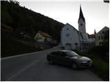
From the Ljubljana - Maribor motorway, take the Žalec exit and then continue towards Velenje. Before Velenje, we leave the main road, as the signs for Vinsko Gora direct us to the right onto a local road, which after a few metres leads us to the next crossroads. Here, continue left in the direction of the Church of St. John the Baptist, and we follow the ascending road to the parking lot, next to the aforementioned church.
Path description:
From the church parking lot, continue along the asphalted road and turn left at the crossroads. After a few dozen metres, signs direct you left up a narrower road. Later, the road drops slightly and we soon continue right into the forest. Crossing a narrow path through the forest, it quickly leads to a crossroads below Gonžarjeva pečjo. To the left is an easy path to Gonžarjevo stac, and we continue to the right where the start of the protected climbing route is.
The climbing route is modelled on climbing routes from abroad and is the first such difficult route in Slovenia. According to the Austrian scale, which is the most commonly used for assessing the difficulty of this type of climbing routes, it is rated D/E.
When entering the climbing part of the route, it is obligatory to equip yourself with a self-protection kit and a helmet, and it is also recommended to wear climbing gloves.
At the beginning of the climbing section, the route climbs very steeply along a steel beam and we are quickly in front of the most challenging part of the route. Here the route takes you over smooth upright slabs where there are very few natural footholds and therefore a lot of hand strength is needed.
The route then becomes slightly less difficult and with a little easier climbing you soon reach a signing box located by the side of the route. From here, there is a final very steep climb, which is rated difficulty level D. At the top, we are then rewarded with a beautiful view of Vinská Gora and the surrounding hills.
From the viewpoint, continue up through the forest along the fence. After a short climb, we emerge from the forest onto pastures from where we have a view of Radojč and the neighbouring Ramšakov vrh. From the pastures, the path leads to a road which continues to the right to the Gonžar farm.
At the crossroads by the farm, continue left along the macadam road and you are quickly at the crossroads again. The Šaleška mountain trail leads off to the right, and we continue along the road. At the next crossroads, continue slightly left and the path leads to another mountain farm. Here the path turns sharp right and starts climbing through the forest. Later the path joins the cart track, which leads to a clearing. Here the path turns right and starts to climb again a little more steeply. Soon you reach a wooded ridge, where you continue to the right and there is only a short climb to the top of Radojč.
From the top, continue along the ridge and start to descend slightly. The path leads to a crossroads on the north side of the ridge, where you continue right up towards the ridge. On the ridge, continue left and after a few short ascents and descents reach Ramšakov vrh.

Pictures:
 1
1 2
2 3
3 4
4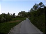 5
5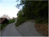 6
6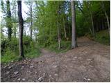 7
7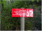 8
8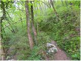 9
9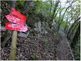 10
10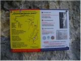 11
11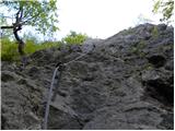 12
12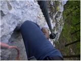 13
13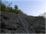 14
14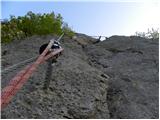 15
15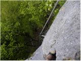 16
16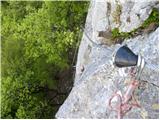 17
17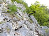 18
18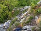 19
19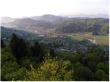 20
20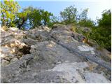 21
21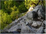 22
22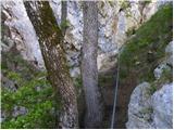 23
23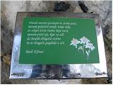 24
24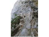 25
25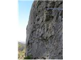 26
26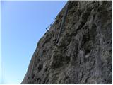 27
27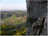 28
28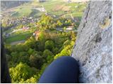 29
29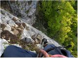 30
30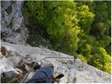 31
31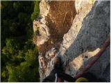 32
32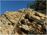 33
33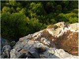 34
34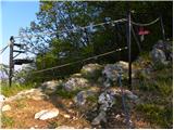 35
35 36
36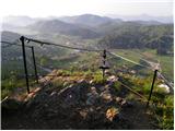 37
37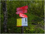 38
38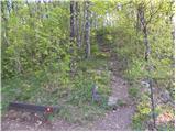 39
39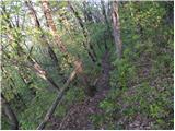 40
40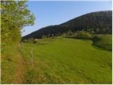 41
41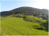 42
42 43
43 44
44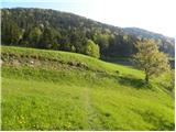 45
45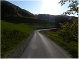 46
46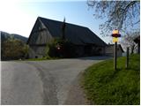 47
47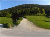 48
48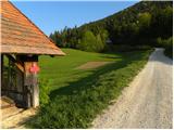 49
49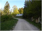 50
50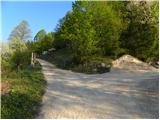 51
51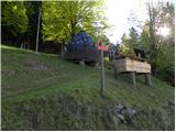 52
52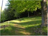 53
53 54
54 55
55 56
56 57
57 58
58 59
59 60
60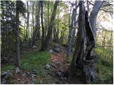 61
61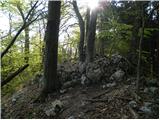 62
62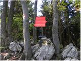 63
63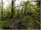 64
64 65
65 66
66 67
67 68
68 69
69 70
70 71
71 72
72 73
73 74
74 75
75 76
76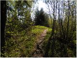 77
77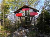 78
78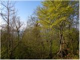 79
79
Discussion about the trail Vinska Gora - Ramšakov vrh (climbing way)