Vinska Gora - Ramšakov vrh (easy path)
Starting point: Vinska Gora (450 m)
| Lat/Lon: | 46,3485°N 15,1731°E |
| |
Name of path: easy path
Time of walking: 2 h
Difficulty: easy marked way
Altitude difference: 520 m
Altitude difference po putu: 570 m
Map:
Recommended equipment (summer):
Recommended equipment (winter): ice axe, crampons
Views: 12.463
 | 1 person likes this post |
Access to the starting point:
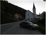
From the Ljubljana - Maribor motorway, take the Žalec exit and then continue towards Velenje. Before Velenje, we leave the main road, as the signs for Vinsko Gora direct us to the right onto a local road, which after a few metres leads us to the next crossroads. Here, continue left in the direction of the Church of St. John the Baptist, and we follow the ascending road to the parking lot, next to the aforementioned church.
Path description:
From the church parking lot, continue along the asphalted road and turn left at the crossroads. After a few dozen metres, signs direct you left up a narrower road. Later, the road drops slightly and we soon continue right into the forest. Crossing a narrow path through the forest, it quickly leads to a crossroads below Gonžarjevo pečjo. A very difficult climbing path leads off to the right, and we continue to the left, briefly crossing the slope to the west. Soon we are at the crossroads again and this time we continue right upwards.
The path then starts to climb and the slope also becomes steeper. There is only one last climb to a viewpoint where a climbing route joins from the right. In the last part, the path is also protected by a fence.
From the viewpoint, continue up through the forest along the fence. After a short climb, you will emerge from the forest onto pastures from where you will have a view of Radojč and the neighbouring Ramšakov vrh. From the pastures, the path leads to a road which continues to the right to the Gonžar farm.
At the crossroads by the farm, continue left along the macadam road and you are quickly at the crossroads again. The Šaleška mountain trail leads off to the right, and we continue along the road. At the next crossroads, continue slightly left and the path leads to another mountain farm. Here the path turns sharp right and starts climbing through the forest. Later the path joins the cart track, which leads to a clearing.
Here the path turns right and starts to climb again a little more steeply. Soon we reach a wooded ridge where we continue to the right and there is only a short climb to the top of Radojč.
From the top, continue along the ridge and start to descend slightly. The path leads to a crossroads on the north side of the ridge, where you continue right up towards the ridge. On the ridge, continue left and after a few short ascents and descents reach Ramšakov vrh.

Pictures:
 1
1 2
2 3
3 4
4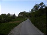 5
5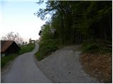 6
6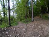 7
7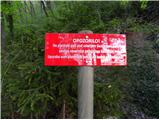 8
8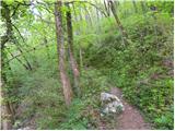 9
9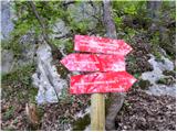 10
10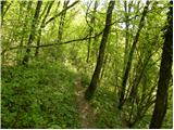 11
11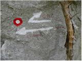 12
12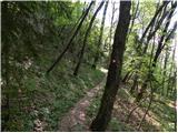 13
13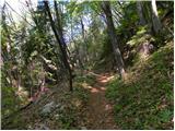 14
14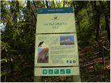 15
15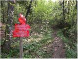 16
16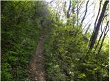 17
17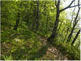 18
18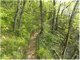 19
19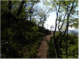 20
20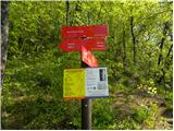 21
21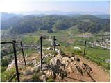 22
22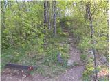 23
23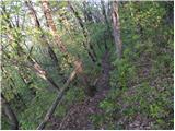 24
24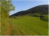 25
25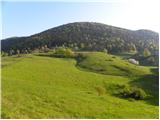 26
26 27
27 28
28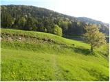 29
29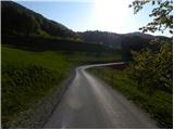 30
30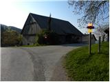 31
31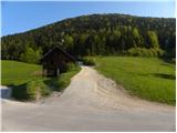 32
32 33
33 34
34 35
35 36
36 37
37 38
38 39
39 40
40 41
41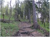 42
42 43
43 44
44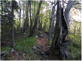 45
45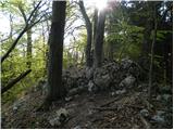 46
46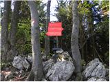 47
47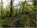 48
48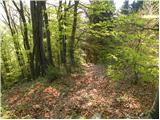 49
49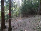 50
50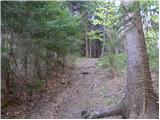 51
51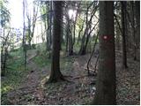 52
52 53
53 54
54 55
55 56
56 57
57 58
58 59
59 60
60 61
61 62
62 63
63
Discussion about the trail Vinska Gora - Ramšakov vrh (easy path)
|
| bruny18. 03. 2012 |
Danes v sklopu daljše krožne poti tudi delno po opisani poti ampak prihod...iz smeri naselja Črnova od gostišča Obirc & kmetije Kranc... in priključek nad cerkvijo Sv. Janeza Krstnika....
|
|
|
|
| mufi11011. 09. 2017 |
Zelo lepa pot,potrebna previdnost čez gonžarjevo peč drugače je pa pot primerna za vse starosti.Ob poti so markacije lepo vidne.Od Ramškovega vrha je pot proti lovski koči in malo pred kočo zavijemo rahlo desno ter sledimo strugi te pridemo skoraj na start poti,lepa krožna pot.  
|
|
|