Vitanje - Chapel Marijina roka (Stenica)
Starting point: Vitanje (452 m)
| Lat/Lon: | 46,38393°N 15,29819°E |
| |
Time of walking: 1 h 40 min
Difficulty: easy marked way
Altitude difference: 603 m
Altitude difference po putu: 620 m
Map: Pohorje 1:50.000
Recommended equipment (summer):
Recommended equipment (winter): ice axe, crampons
Views: 266
 | 1 person likes this post |
Access to the starting point:
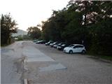
From Vojnik, Mislinja or Slovenske Konjice, drive to Vitanje, where you can park in the parking lot in the centre of the village in the marked parking lot at Hudinja (the parish church of St Peter and St Paul is at the starting point). It is also possible to park elsewhere in the village.
Path description:
From the parking lot, walk to the bridge over Hudinja, where you turn left at the crossroads towards Slovenske Konjice and the path to Stenica. After the nearby chapel at the pedestrian crossing, cross the main road carefully and continue along the pavement towards Slovenske Konjice for a few more 10 steps, then the signs lead you slightly right onto a steeper narrower road, which quickly ascends to the nearby hill where the Church of the Assumption is located.
Before the church, turn left and follow the asphalt path back to the main road, where you continue along the pavement for a few steps before the signs for Stenica point you to the right. Just a little further on, cross the Hočno stream over a bridge, and a narrower asphalt path with a slight to moderate incline past a trough leads to a crossroads, where you go left in the direction of Stenica. At the next crossroads, bear slightly right, then follow the asphalt road up to a left turn, where you leave the road and continue along the wider cart track in the direction Stenica.
After a few steps, leave the wide cart track and continue left into the forest, where you will immediately start climbing steeply. A steep climb follows along the forested north-west ridge, and as the path flattens out you quickly reach a viewpoint at Stenica, where there is a registration box.
From the lookout point, continue slightly right and initially climb, then the path is laid and leads us near the privat huts to a smaller cart track, where we go right, and at a nearby crossroads to the left on the marked path. There is a short moderate climb, and then you reach a road which you follow to the right, which quickly returns to the forest. In the forest you reach a crossroads, where you go sharp left, and about 100 m further on, at the signs for the wick, right into the forest. Climb steeply for a while, and follow the signs at the crossroads. When you reach the road again, follow it to the left for a few steps, then go right in the direction of Stenica and St Mary's Chapel. Follow the steep cart track climb, and higher up pass the signs for the viewpoint (the path the direction sign points to is completely overgrown), and when the path flattens out, you reach the next crossroads.
The trail continues in a straight line towards the Stenica summit, which is about 10 minutes' climb away, and we continue right in the direction of Mary's Hand. There is a short moderate climb and after a minute of further walking you reach the Chapel of the Hand of Mary.
Starting point - Church of Our Lady of the Assumption 0:05, Church of Our Lady of the Assumption - viewpoint 0:35, viewpoint - Hand of Mary 1:00.
Description and pictures refer to the situation in July 2022.

Pictures:
 1
1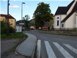 2
2 3
3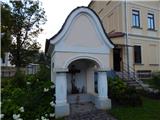 4
4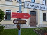 5
5 6
6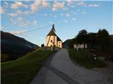 7
7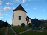 8
8 9
9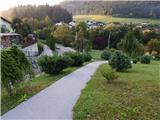 10
10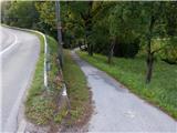 11
11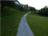 12
12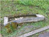 13
13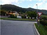 14
14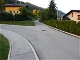 15
15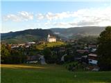 16
16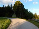 17
17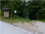 18
18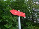 19
19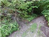 20
20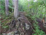 21
21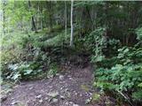 22
22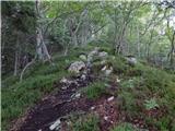 23
23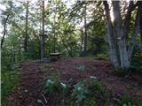 24
24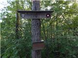 25
25 26
26 27
27 28
28 29
29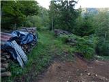 30
30 31
31 32
32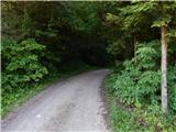 33
33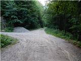 34
34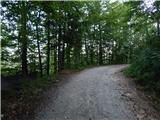 35
35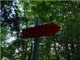 36
36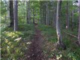 37
37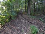 38
38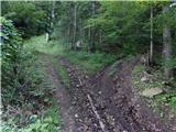 39
39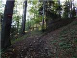 40
40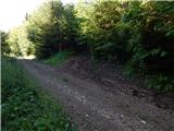 41
41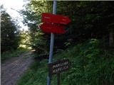 42
42 43
43 44
44 45
45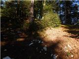 46
46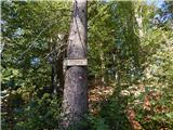 47
47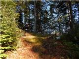 48
48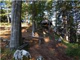 49
49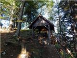 50
50
Discussion about the trail Vitanje - Chapel Marijina roka (Stenica)