Vitanje - Golež castle (bottom path)
Starting point: Vitanje (452 m)
| Lat/Lon: | 46,37979°N 15,29541°E |
| |
Name of path: bottom path
Time of walking: 25 min
Difficulty: easy unmarked way
Altitude difference: 53 m
Altitude difference po putu: 65 m
Map: Pohorje 1:50.000
Recommended equipment (summer):
Recommended equipment (winter): ice axe, crampons
Views: 221
 | 1 person likes this post |
Access to the starting point:
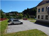
From Vojnik, Mislinja or Slovenske Konjice, drive to Vitanje, where you park in the parking lot next to the Castle Square.
Path description:
From the parking lot, walk a few steps to the main road and turn right. Just after the first house, turn right off the road onto a narrow cobbled path, which quickly leads to a bridge, and after the bridge, turn right towards Fužiny. Continue along the asphalt road for a short distance, and when the road turns left, head straight in the direction of Stenica and Goleže Castle. The way forward takes you over a small bridge and around the house on the other side of the stream on the right. There is a short climb along the fence, and when you reach the next houses, follow the signs for Goležev castle. The settlement ends a little further on, and the path gradually leads us into the forest, where it climbs a little steeper. During the ascent, we first get a nice view of Vitanje, and the upper path joins us quite imperceptibly from the left.
From the crossroads, we continue climbing for a short time, and when the path is laid, we quickly reach the viewpoint of Goležev castle.
The climb up to the ruins is dangerous, partly because of the steepness, but mainly because of the high risk of falling rocks.
The description and pictures refer to the situation in July 2022.

Pictures:
 1
1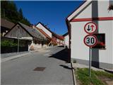 2
2 3
3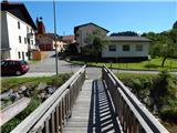 4
4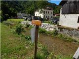 5
5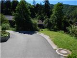 6
6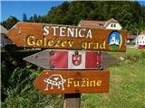 7
7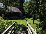 8
8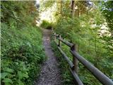 9
9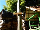 10
10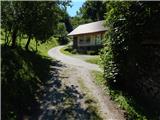 11
11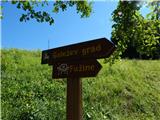 12
12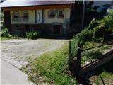 13
13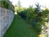 14
14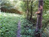 15
15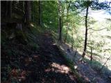 16
16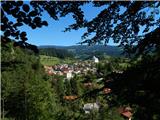 17
17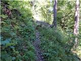 18
18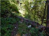 19
19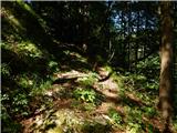 20
20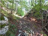 21
21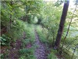 22
22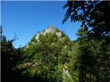 23
23
Discussion about the trail Vitanje - Golež castle (bottom path)