Volovljek - Kranjska reber (on unmarked path)
Starting point: Volovljek (1029 m)
| Lat/Lon: | 46,283°N 14,6884°E |
| |
Name of path: on unmarked path
Time of walking: 1 h 15 min
Difficulty: easy unmarked way
Altitude difference: 406 m
Altitude difference po putu: 406 m
Map: Kamniške in savinjske Alpe 1:50.000
Recommended equipment (summer):
Recommended equipment (winter): ice axe, crampons
Views: 2.276
 | 2 people like this post |
Access to the starting point:
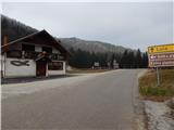
a) First, drive to Kamnik, then continue driving towards the Črnivec Pass. Just a few 100 m before the pass, you will see signs for Kranjski Rak, which direct you sharp left onto a narrow and initially quite steep road. The road is higher and then leads us to the Volovljek Pass, where we park near the Kranjski Rak guesthouse (parking in front of the guesthouse is only allowed for guests). There is a little more parking space near the Štajerski Rak guesthouse.
b) From Gornji Grad, drive towards Kamnik, and then, just 100 m after the Črnivec Pass, turn right towards Kranjski Rak. Continue as described above.
c) From the Savinjska valley, first drive to Luce, then continue towards Kamnik. When you reach the Volovljek pass, park in a suitable place next to the Kranjski Rak guesthouse (only guests are allowed to park in front of the guesthouse). There is a little more parking space near the Štajerski Rak guesthouse.
Path description:
From the Volovljek Pass, first walk to the Štajerski Rak cafeteria (the cafeteria is located on the eastern side of the Volovljek Pass, but on maps Štajerski Rak is marked where the Štajerski Rak homestead once stood).
From the Štajerski Rak refreshment bar, continue along the forest road, which begins to climb gently to moderately through the forest. From the road, which runs along the northern to north-western slopes, there are a few dirt tracks branching off to the right, which are counted for easier orientation. When you reach the fourth cart track, leave the road and continue right along the above-mentioned cart track. The relatively wide track first climbs steeply across to the right, then turns slightly to the left and starts to climb steeply up the slope straight up. At a small crossroads higher up, continue straight ahead, and then a fairly steep track, or logging trail, turns to the right and flattens out a little. There follows a cross-climb to the right, and after a few minutes the track leads us out of the forest to a relatively new clearing, from which we have a beautiful view that extends from Kočna to Ojstrica and the Dleskovski plateau. When the path returns to the forest, continue left at the next small crossroads, and within a few minutes you will reach the marked path Črnivec - Kranjska reber.
The marked trail is reached at the point where it leaves the forest onto the fern-covered slopes. The fern is quickly replaced by less tall grass, and the path leads us along the lane of the sparse forest, where the summit markers direct us slightly to the right on an increasingly scenic path. In good weather, the path opens up to ever more beautiful views, reaching all the way to Snežnik. A few minutes of gentle to moderate ascent follows and the path leads us past the animal watering point to the scenic summit without any major problems.
Description and pictures refer to the situation in 2014 (December).

Pictures:
 1
1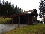 2
2 3
3 4
4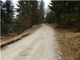 5
5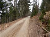 6
6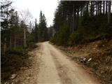 7
7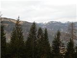 8
8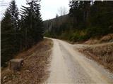 9
9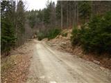 10
10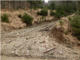 11
11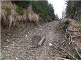 12
12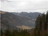 13
13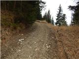 14
14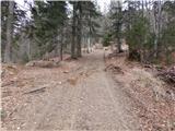 15
15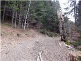 16
16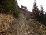 17
17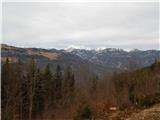 18
18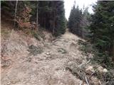 19
19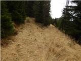 20
20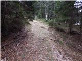 21
21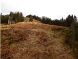 22
22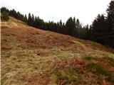 23
23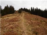 24
24 25
25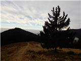 26
26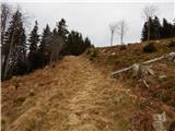 27
27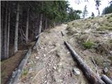 28
28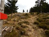 29
29 30
30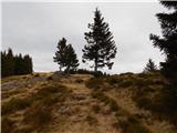 31
31 32
32 33
33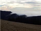 34
34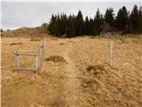 35
35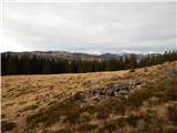 36
36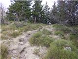 37
37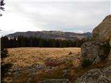 38
38 39
39 40
40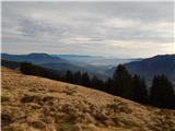 41
41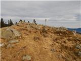 42
42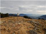 43
43
Discussion about the trail Volovljek - Kranjska reber (on unmarked path)