Starting point: Vranček (950 m)
| Lat/Lon: | 46,4279°N 14,2726°E |
| |
Time of walking: 2 h 5 min
Difficulty: easy marked way
Altitude difference: 751 m
Altitude difference po putu: 751 m
Map: Karavanke - osrednji del, 1:50.000, PZS
Recommended equipment (summer):
Recommended equipment (winter):
Views: 18.539
 | 3 people like this post |
Access to the starting point:
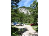
We head towards the Ljubelj border crossing. After the last tunnel, you can see a large scree field on the left side of the road. The road curves slightly to the right and then there is a long left turn. In the middle of this bend, a minor forest road branches off to the right. At the very beginning of the road, there is a roadhouse or shelter on the left, where they keep the poles that they put up for the winter. You can park in the small parking lot next to the house, where there is only room for a few vehicles, or you can drive a few dozen metres further along the forest path and you will find another small parking lot on the right and another slightly larger one a few metres after that, just before the crossing over the torrent.
Path description:
From the parking lot, continue in the same direction, crossing the torrent on a bad forest road, which turns into cart track higher up. In the lower part, the path is quite unpleasant because of the thick rubble and some quite steep sections. After about 20 minutes' walk from the parking lot, part of the walk along this cart track can be saved by taking a shortcut to the left at a sharp, steep right-hand bend cart track (the path is clearly visible from the trail). After about 10 minutes' walk along this shortcut through the forest, you rejoin the marked path. Here the path cart track is also more pleasant, walking through the forest and between clearings.
From the meadow below the hut, which you can already see above you, turn slightly to the right, cross a muddy area a few metres wide, over which a small bridge leads you and in a few minutes you reach the hut at mountain pasture Korošica.
At the hut, turn slightly to the right up the pasture, which soon disappears into a sparse forest. The path is initially very poorly visible, but after a few minutes, when you reach the beginning of the forest, you can easily find it and from then on it is everywhere visible and well marked. It leads through small and large clearings, through sparse forest, higher up through dwarf pines. Along the way, we come across a few small wells where we can also fill up with water. After about 30-40 minutes' walk from mountain pasture Korošica, the border ridge and saddle are reached. You will have a beautiful view of the Austrian side. You can head a few dozen metres to the right, towards the trailhead from Hajnževo sedlo to Veliki vrh in Košice, from where the view is even better. To the left, a path climbs above us, leading to Ljubeljska Baba (Košutice).

Pictures:
 1
1 2
2 3
3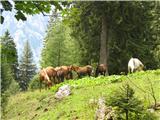 4
4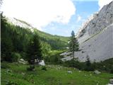 5
5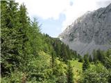 6
6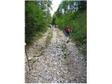 7
7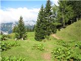 8
8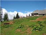 9
9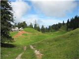 10
10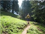 11
11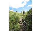 12
12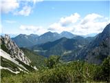 13
13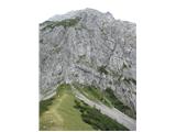 14
14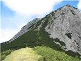 15
15 16
16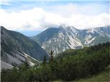 17
17
Discussion about the trail Vranček - Hajnževo sedlo
|
| hills22. 04. 2011 |
Danes bili gor, snega je za vzorec, sicer čudovita pot, s strmimi odseki, ki se kar ne nehajo  . Bližnjica je lepo vidna. Vzdušje je nekoliko pokvarila kača, ki je šele, ko smo šli mimo, zasikala in šele takrat sem se obrnila in zagledala to kačo, drugače ne bi vedela, da je sploh tam  , v bistvu sem se ustrašila, ker ko sem se obrnila in zagledala sikajočo kačo  sem zakričala, da so me slišali onstran meje  nočem si predstavljati kako bi bilo, če bi jo videl prej naš kuža  . Sicer čudovito....
|
|
|