Vranček - Loibler Baba/Košutica (western way)
Starting point: Vranček (950 m)
| Lat/Lon: | 46,4279°N 14,2726°E |
| |
Name of path: western way
Time of walking: 2 h 50 min
Difficulty: partly demanding marked way
Altitude difference: 1018 m
Altitude difference po putu: 1018 m
Map: Karavanke - osrednji del 1:50.000
Recommended equipment (summer):
Recommended equipment (winter): ice axe, crampons
Views: 37.774
 | 4 people like this post |
Access to the starting point:
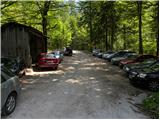
From the Ljubljana - Jesenice motorway, take the Ljubelj exit and follow the road towards the border crossing. When you leave the last tunnel (identified by a scree slope on the left-hand side of the road after the tunnel), you will see a road-builder's cottage at the first sharp left-hand bend and a dirt road alongside it. Park here in a small parking lot or drive on the minor road to the next parking lot, which is a little higher up.
Path description:
From the parking lot, turn onto the worse forest road and follow it. The road crosses a torrent at a higher level, then climbs slightly and leads to the place where it ends. Cross the bridge ahead and continue on cart track, which climbs moderately on partly overgrown scree. Cart track makes some sharp turns and leads from the northern slopes of Kosuta to the southern slopes of Loibler Baba.
Next, we mostly climb through the forest, which leads us to a larger clearing. Here cart track turns sharp left and climbs towards mountain pasture Korošica. Shortly before mountain pasture, cross a pasture fence where a fine view opens up. From the meadow, turn slightly right under the hut, which you can see above you. The path then turns to the left and in a few steps ascends to the hut at mountain pasture Korošica.
From the hut, continue north in the route Loibler Baba (right Hajnževo sedlo). The path soon turns to the left and crosses the western slopes of Košutica. The relatively gentle path soon leads us to the border ridge, where the path from the Ljubelje hut joins us on the left.
Here we go right and continue our ascent along the increasingly scenic ridge. The path then becomes steeper, the forest becomes more sparse and gradually disappears completely. Continue climbing along the scenic ridge, which is quite wide so that there is no major danger. The path then climbs through dwarf pines and leads to the Austrian side. Here we climb through a short but quite steep ravine back to the ridge. Here you get onto steep grass-covered slopes on the Slovenian side (slip hazard in wet conditions). After this climb over the grasses you reach the top of a slightly exposed ridge which you then follow to the top.
Starting point - Korošica 1:35, Korošica - Loibler Baba 1:15.

Pictures:
 1
1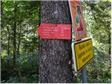 2
2 3
3 4
4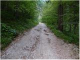 5
5 6
6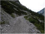 7
7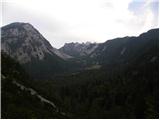 8
8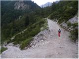 9
9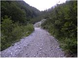 10
10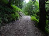 11
11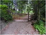 12
12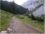 13
13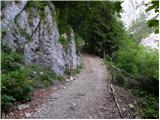 14
14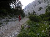 15
15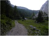 16
16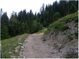 17
17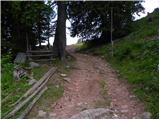 18
18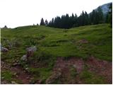 19
19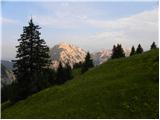 20
20 21
21 22
22 23
23 24
24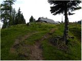 25
25 26
26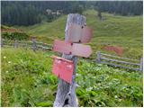 27
27 28
28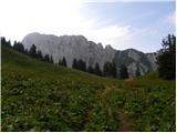 29
29 30
30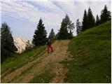 31
31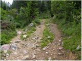 32
32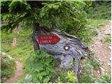 33
33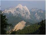 34
34 35
35 36
36 37
37 38
38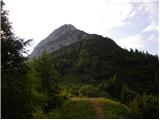 39
39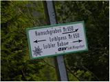 40
40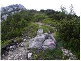 41
41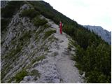 42
42 43
43 44
44 45
45 46
46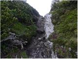 47
47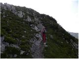 48
48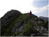 49
49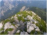 50
50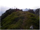 51
51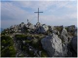 52
52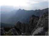 53
53
Discussion about the trail Vranček - Loibler Baba/Košutica (western way)
|
| Majdag22. 10. 2018 |
Vranček.. Strmina kolovozne ceste je še vedno ista. Le še malo bolj razdrapana je. Macesni ob poti žarijo, ni pa jih prav veliko. Bukovje se otresa pisanih listov in meni so lepši kot macesni. Koča na planini Korošici je bila v soboto odprta. Hajnževo sedlo in stezice čez skalovje, je kot običajno. Spust po grebenu na drugo stran je lažji, med ruševjem dričast. Luštna, malo začinjena krožna pot.  .  https://jelenkamenmajdag.blogspot.com/2018/10/kosutica-ljubeljsa-baba-korosica-gora.html https://jelenkamenmajdag.blogspot.com/2018/10/kosutica-ljubeljsa-baba-korosica-gora.html
|
|
|
|
| zbil7. 09. 2023 20:55:01 |
Pozdravljeni!
Je opisana pot primerna za psa?
Hvala za odgovor
|
|
|