Vrbovica - Veliki Gradac (južna pot)
Starting point: Vrbovica (20 m)
| Lat/Lon: | 42,77839°N 17,36887°E |
| |
Name of path: južna pot
Time of walking: 25 min
Difficulty: easy marked way
Altitude difference: 137 m
Altitude difference po putu: 137 m
Map: Izletnička karta NP Mljet 1:14.000
Recommended equipment (summer):
Recommended equipment (winter):
Views: 90
 | 1 person likes this post |
Access to the starting point:
Path description:
Pictures:
 1
1 2
2 3
3 4
4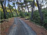 5
5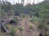 6
6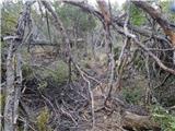 7
7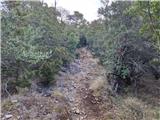 8
8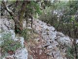 9
9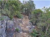 10
10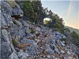 11
11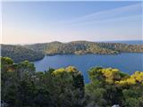 12
12 13
13 14
14 15
15 16
16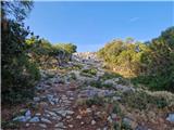 17
17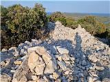 18
18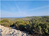 19
19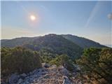 20
20
Discussion about the trail Vrbovica - Veliki Gradac (južna pot)