Vršič - Travnik (at Mojstrovke) (via ridge)
Starting point: Vršič (1611 m)
| Lat/Lon: | 46,4336°N 13,7435°E |
| |
Name of path: via ridge
Time of walking: 4 h 30 min
Difficulty: difficult pathless terrain
Altitude difference: 768 m
Altitude difference po putu: 950 m
Map: TNP 1:50.000
Recommended equipment (summer): helmet
Recommended equipment (winter): helmet, ice axe, crampons
Views: 23.011
 | 2 people like this post |
Access to the starting point:
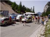
From Kranjska Gora drive towards Bovec or vice versa, but only as far as the Vršič pass, where you park.
Path description:
From the parking lot at Vršič, follow the initially poorly marked path leading to Mojstrovka and Sleme. After a short climb, the path leads us to a larger rock on which we see the inscription Mojstrovka on the left. Continue in the direction of Mojstrovka (to the right Mojstrovka on the Hanzo trail and Slemenova špica) along the trail, which climbs crosswise through a rare larch forest. After about half an hour's ascent, the path leads to a large scree field below Mojstrovka. At the point where the marked path to Mojstrovka approaches the wall, we come to an unmarked crossroads where we continue to the sharp right. Continue the ascent along the unmarked path, which leads us in a slight cross-climb towards the slopes of Šitna glava. A relatively visible path soon leads us into an unmarked valley between Mala Mojstrovka and Šitno glavo. Here the trail turns slightly left and climbs slightly more up the increasingly rocky slope. When the trail is quite close to the summit, it turns right, crosses a partly overgrown scree field and then climbs to a grassy summit.
From Šitna glava continue along the ridge, first gently down and then up towards Mojstrovka (unmarked). After a 20 minute walk from Šitna glava, a poorly visible path leads us to the place where we join the Hanzo trail to Mojstrovka. From here on, the orientation is easier, but the path becomes steeper and steeper. After a few more minutes, the steepness eases and the path leads us to a flatter world, which we go around on the right hand side. Next, the path approaches the ridge, and we see Mangart and Jalovec in front of us. Here the path turns slightly left and leads us to a steep part of the path. With the help of a few pegs, but mainly without the fixed safety gear, we climb up the steep summit slope of Mala Mojstrovka to its scenic summit.
From Mala Mojstrovka continue in the direction of Veliki Mojstrovka. At first, descend a little and take the path that leads slightly to the right towards the saddle between the two Mojstrovkas. The path then crosses a scree slope and begins to ascend the steep southern slopes below Velika Mojstrovka. The slope soon becomes less steep and the path turns right upwards. From here it is only a short climb up the rocky slope to the top of Velika Mojstrovka.
From the summit, continue along the ridge in a westerly direction. The path then soon becomes a little more difficult and starts to climb up the slightly crumbly slope on the south side of the ridge. The path is marked with a number of cairns signs. The ascent towards the ridge is followed, soon reaching the head of the Velika Mojstrovka.
From the top, continue along a very scenic ridge. The ridge to the north is precipitous throughout, but it is wide enough that walking along it does not present any major problems. Later, the slope on the south side of the ridge becomes slightly steeper and there is a slightly steeper climb along the rocky ridge to the top of Zadnja Mojstrovka.
The path along the ridge becomes more difficult later on and if you are not used to walking on difficult unprotected terrain, it is recommended to go back a few minutes, where the southern slopes are not so steep, and descend to the unmarked trail, which runs a little lower on the less steep southern slopes parallel to the ridge. Continuing along the ridge, you initially descend a little on a narrow and rather exposed ridge. The path then gradually becomes less difficult again, and then leads to a slightly more grassy slope. There is virtually no track on this part and there is a steep slope to cross, which also has some rubble, so this part is dangerous for slipping. Shortly after this, there is a steep descent into a narrow notch, from which you then have to climb down a very steep slope. The climb is only a few steps, but you have to be very careful because the slope is exposed. The route then becomes less difficult and leads to the slopes below Travnik. Here the path turns slightly to the left and begins to climb over scree. Later, the path turns to the right and there is a final climb up the rocky slope to the top of Travnik.
You can descend either by the ascent route or by an easier route which runs a little lower on the south side parallel to the ridge.

We can extend the trip to the following destinations: Kol ( 15 min)
Pictures:
 1
1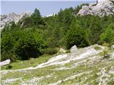 2
2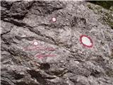 3
3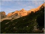 4
4 5
5 6
6 7
7 8
8 9
9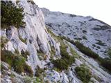 10
10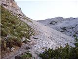 11
11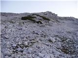 12
12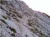 13
13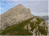 14
14 15
15 16
16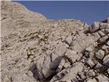 17
17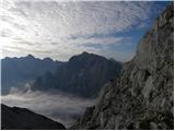 18
18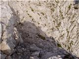 19
19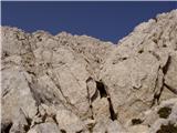 20
20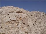 21
21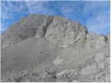 22
22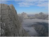 23
23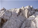 24
24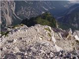 25
25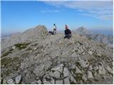 26
26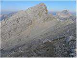 27
27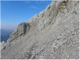 28
28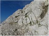 29
29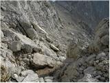 30
30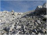 31
31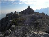 32
32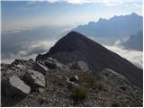 33
33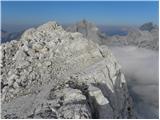 34
34 35
35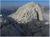 36
36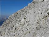 37
37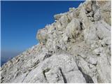 38
38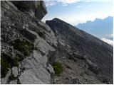 39
39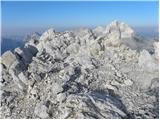 40
40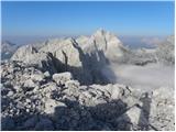 41
41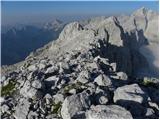 42
42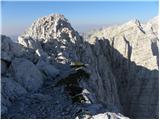 43
43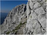 44
44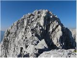 45
45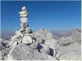 46
46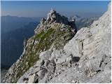 47
47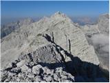 48
48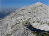 49
49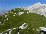 50
50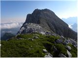 51
51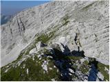 52
52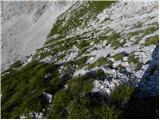 53
53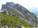 54
54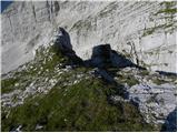 55
55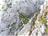 56
56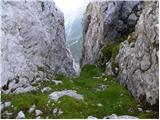 57
57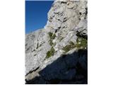 58
58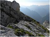 59
59 60
60 61
61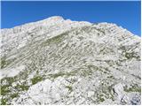 62
62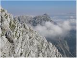 63
63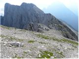 64
64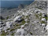 65
65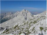 66
66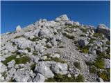 67
67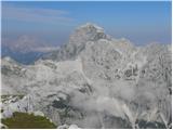 68
68 69
69 70
70 71
71
Discussion about the trail Vršič - Travnik (at Mojstrovke) (via ridge)
|
| lozarbogdan11. 07. 2011 |
Se opravičujem in začenjam ponovno.Včeraj zjutraj z vršiča čez Šitno glavo na Malo Mojstrovko.Lepi razgledi,natogreva s prijateljem naprej na Veliko Mojstrovko,tam je bilo še nekaj ljudi nato pa se je začelo v dvoje,prečenje grebena proti Travniku in ves čas kot oltar pred nami Jalovec.Prečiva Zadnjo Mojstrovko,nato greben naprej.Ko se približujeva Travniku nekaj plezanja,ntonaprej višine pa ne smeš izgubljat.Na desni odsekana stena travnika.Majnši vzpon na Travnik.Pogledi kot v vesolju.Nato čez nadaljno divjino pomalem spustu, in prečenju proti Šitam .S Šitpajužno čez melišče do Malega kota pod Jalovec.Od tukaj po markirani poti k Izviru Soče.Čudovita tura ,priporočam s spremstvom. 
|
|
|
|
| felix21. 06. 2012 |
Na dolgo in razumljivo napisana pot do cilja, moti me pa, da za povratek ni opisa - samo po nižji južni pot - ali je vseskozi vidna, ali so kje kakšne težave ipd? Skoraj pri vseh opisih poti je tako, v kolikor vrnitev poteka po drugi poti, naj bo tudi ta detaljno opisana.
Lep pozdrav.
|
|
|
|
| Matej_K.21. 06. 2012 |
Pač prebereš opis vzpona kjer se ti nameravaš vračati...
|
|
|
|
| felix21. 06. 2012 |
Hvala, tega pa se nisem spomnil!? Potem pa mi prosim pomagaj poiskati opis poti na Travnik po drugi poti!
Že vnaprej najlepša hvala!
|
|
|
|
| pikpok14. 08. 2013 |
drugih opisov ni, ker drugih poti ni! in tudi ta pot, pravzaprav ni dobro vidna. sam se ji vceraj poskusal sledit kar nekaj casa, potem pa sem se raje spustil do poti ki vodi iz jalovske skrbine do vrsica. verjamem da je varjanta po grebenu iz mojstrovk veliko boljsa.
|
|
|
|
| pikpok14. 08. 2013 |
popravljam: sam sem vceraj poskusal slediti "nemarkirani gozdni poti" ki se najde na nekaterih mapah, ta pa sploh ni vidna.
|
|
|
|
| Potohodnik16. 07. 2014 |
Opazil sem, da nekateri izmed vas iščete lažji sestop. S Travnika sestopiš naravnost proti dolini po brezpotju in naletiš na slabo uhojeno stezico s rumenimi pikami in možici. Slediš ji levo navzdol in prideš do markirane poti z Vršiča proti Jalovcu.
|
|
|
|
| Matjaz_6524. 12. 2016 |
še nekaj fotk s kopne južne poti na malo mojstrovko in v nadaljevanju zimskega prečenja do travnika 
|
|
|
|
| RB26. 08. 2020 |
Hvala za dober opis. V petek 21.8.2020 sva s prijateljem po prečenju grebena sestopila cca 300 m nižje in nato zavila levo in iskala pot preko Velike dnine (rumene, rdeče oznake, možici). Ključno je prečenje 1. grape. Pri prečenju le te naju je zavedla steza (malce desno navzdol). Kasnejši ogled je pokazal, da bi se morala pri izhodu iz grape usmeriti nad ruševje. Z malo pozibavanja (in iskanja) se pot priključi markirani poti z Male Mojstrovke (nekaj m nad sedlom proti Vršiču). Podrobneje pot opisuje V. Habjan (Brezpotja).
|
|
|
|
| J.P.15. 08. 2023 21:21:30 |
Krasna grebenska pot. Lepo sledljiva, razgledi enkratni! Končni cilj je bil Kol. Z vrha Kola se sprava direktno dol začnemo spuščati na kar začnemo zavijati raho v levo. Na približno 2100m zavijeno levo na pot po dolini pod grebeni. Tukaj je nekaj slabo vidnih možicev. Hodimo po kraškem svetu do malega sedlca (s katerega gledamo direktno na Suhi vrh) in tukaj se strmo spustimo ,da pridemo pod vznožje Suhega vrha. Od tukaj je pot lepo sledjiva in vidna do markirane pod M.Mojstrovko. LP
|
|
|