Weissensee - Latschur (via Almspitz)
Starting point: Weissensee (940 m)
| Lat/Lon: | 46,6989°N 13,4148°E |
| |
Name of path: via Almspitz
Time of walking: 4 h 15 min
Difficulty: easy marked way
Altitude difference: 1296 m
Altitude difference po putu: 1300 m
Map:
Recommended equipment (summer):
Recommended equipment (winter): ice axe, crampons
Views: 11.000
 | 2 people like this post |
Access to the starting point:
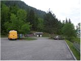
Shortly before Spittal, from the route of Villach (along the old road), the road to Ziebel branches off to the left. At the village, continue driving towards Lake Weissense, which is about 15km from Ziebel. Park in the large parking lot near the lake.
Path description:
From the large parking lot, walk a few metres down to the main road, where you will see signs on the left. Take the wide path that leads along the lake behind the "Techendorf" sign. The path first leads over a small bridge and leads to the bivouac on the eastern side of Lake Weissensee. Here, turn right onto the tarmac road that runs alongside the bivouac and leads to a crossroads where you turn left and after walking for a few metres you come to a set of signs. Bear left after the "Techendorfer Alm steil" signs. After a few metres, regain the signs and bear right on the steep path towards mountain pasture Techendorfer Alm. The left-hand path follows a more gradual path, which is mostly on the road.
The path climbs quite steeply through the forest and leads to a clearing where you cross cart track and start climbing along the edge of the forest. Here the first views towards the nearby peaks in the Latschur group open up. The path climbs through the forest again and then crosses the mountain road several times. At all the junctions, which are very well marked, continue in the direction of Techendorfer Alm steil (steep path). Finally, when the path to the left branches off towards the Stosia saddle, continue along the road which, after about 15 minutes' walk, leads to mountain pasture Techendorfer Alm, where there is also a small mountain hut.
From mountain pasture continue northwards following the signs Stosia, Latschur. The trail first crosses a sparse forest and then ascends grassy slopes towards the Stosia saddle. This part of the trail is marked with white and blue markers.
At the saddle, turn right and follow the grassy ridge. When you reach a crossroads, continue straight on along the ridge, and a direct path to Eckwand branches off to the right. When you reach the crossroads again, take the right path, which continues along the ridge and leads to Almspitz (2180m). You could also take the left path, which leads directly to Latschur, but the right path, which goes over the top of Almspitz, is not much longer. The path then continues to climb along the grassy ridge and soon leads us to the top of Almspitz from which there is a beautiful view of the surrounding peaks.
From the summit, descend a few metres westwards to the saddle between Almspitz and Latschur. From the saddle, it is just a short climb along a grassy ridge to a very scenic summit.

Pictures:
 1
1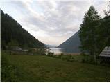 2
2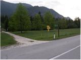 3
3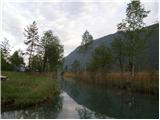 4
4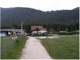 5
5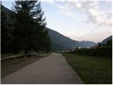 6
6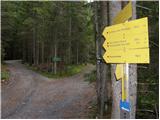 7
7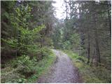 8
8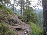 9
9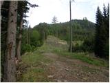 10
10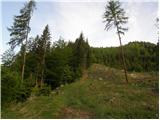 11
11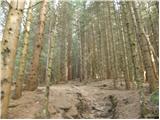 12
12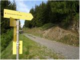 13
13 14
14 15
15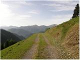 16
16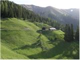 17
17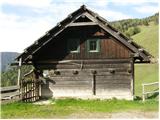 18
18 19
19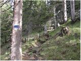 20
20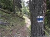 21
21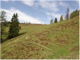 22
22 23
23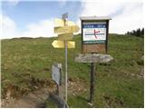 24
24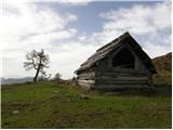 25
25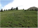 26
26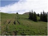 27
27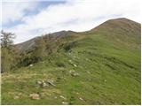 28
28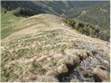 29
29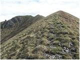 30
30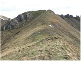 31
31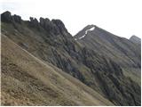 32
32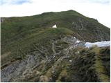 33
33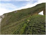 34
34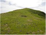 35
35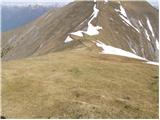 36
36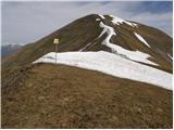 37
37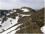 38
38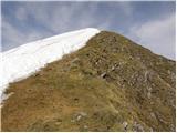 39
39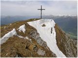 40
40
Discussion about the trail Weissensee - Latschur (via Almspitz)
|
| namor24. 03. 2013 |
Zanima me ali je možno priti na Techendorfer Alm z avtom.LP
|
|
|
|
| VanSims4. 03. 2013 |
Na Techendorferalm vodi makadamska cesta(ki jo peš pot nekajkrat preči), ne vem pa če se sme kar tako peljati po njej. Lahko, da je dovoljeno le oskrbniku koče na Techendorfer Almu. Če je klasificirana kot 'gozdna cesta' je vožnja po njej v Avstriji prepovedana(ne samo 'na lastno odgovornost' kot pri nas).
|
|
|