Windisch Bleiberg / Slovenji Plajberk - Singerberg / Žingarica
Starting point: Windisch Bleiberg / Slovenji Plajberk (948 m)
| Lat/Lon: | 46,4904°N 14,2386°E |
| |
Time of walking: 2 h
Difficulty: easy marked way
Altitude difference: 641 m
Altitude difference po putu: 660 m
Map: Karavanke - osrednji del 1:50.000
Recommended equipment (summer):
Recommended equipment (winter): ice axe, crampons
Views: 6.056
 | 2 people like this post |
Access to the starting point:
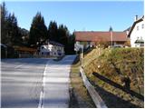
We drive to the Ljubelj border crossing and on to the Austrian side. Shortly after, when you see a small church on the left side of the road, the road to the village of Žabnica / Bodental branches off to the left. Follow this road to one of the small car parks near the church in the village of Slovenji Plajberk / Windisch Bleiberg.
Path description:
On the main road near the church you will see a signpost directing you to a path that leads along a stream (to the left of the church) across a meadow and past some houses. At the end of the meadow, the signs then direct us right into the wods. After a few minutes of walking through the wods, we reach a crossroads where we turn right to follow the Singerberg signs. To the left is the path to the Halbingsattel saddle. The trail then continues through the forest and crosses the mountain road several times. Just below the ridge, the road rejoins the road, where the path over the Halbingsattel saddle joins from the left.
We head straight into the forest behind the Singerberg markers and after a few metres we reach a ridge where we turn right. There is a short descent and then we join the cart track coming from the north side of the mountain. From here it is only a short climb to the top of Singerberg / Singerberg.
Pictures:
 1
1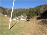 2
2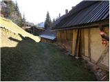 3
3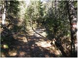 4
4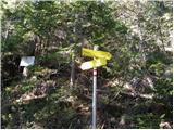 5
5 6
6 7
7 8
8 9
9 10
10 11
11 12
12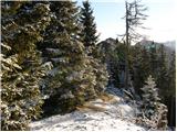 13
13 14
14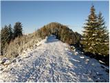 15
15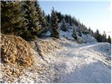 16
16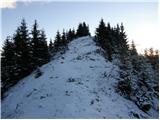 17
17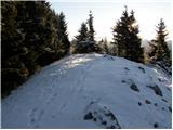 18
18
Discussion about the trail Windisch Bleiberg / Slovenji Plajberk - Singerberg / Žingarica