Starting point: Za Loncem (980 m)
| Lat/Lon: | 46,3262°N 14,6543°E |
| |
Time of walking: 3 h 30 min
Difficulty: easy unmarked way
Altitude difference: 990 m
Altitude difference po putu: 990 m
Map: Kamniške in Savinjske Alpe 1:50.000
Recommended equipment (summer):
Recommended equipment (winter): ice axe, crampons
Views: 6.283
 | 1 person likes this post |
Access to the starting point:
Access from Luče: In Luče, take the road in the direction of Kamnik and follow the road past the Gams Inn and over the bridge of the Lučka Bela stream. Just a few ten metres after the bridge, the road to the Lučka Bela valley branches off to the right. Take this road and follow it to the parking lot at the Korošica 3:30 signs.
Access from Kamnik: From Kamnik, take the Stahovica and continue towards the Črnivec Pass. Just before the pass, the road to Kranjski Rák turns sharp left. Take this road, which will lead you to the Kranjski Rák pass. Continue in the direction of Luč and follow the descending road. When the road leads into the valley, you will see signs for Korošica on the left-hand side of the road. Take this road and follow it to the parking lot at the Korošica 3:30 signs.
Path description:
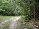
From the parking lot, follow the path towards Korošica. At first wide and gently sloping, the path soon leads to steep slopes, where the path climbs more steeply. The path, which climbs through the forest a little higher, crosses a small clearing where the steepness eases for a short time. The path then re-enters the forest, where it crosses a torrent and then climbs steeply. A little higher up, a beautiful view opens up towards Lučka kopa and Konju. The path continues slowly between dwarf pines, where it continues to a small crossroads at Vratci. Continue straight in the direction of Korošica, initially slightly downhill (the path crosses the exposed slopes below Lastovec on the right). After a few steps, the path leads us to the intermittent lake at Stari Štale. Here, beside the lake, you can often see a group of marmots running along the grassy slopes. The path continues to climb moderately and soon leads to a small stream, which is among the highest in Slovenia. The stream has a few small waterfalls, which are particularly prominent at this altitude. Slightly higher up, the path, which still runs between dwarf pines, leads to a crossroads, where we continue to the right in the direction of Vodotočnik (Korošica on the left). The way forward continues for some time climbing the grassy slopes surrounded by dwarf pines to the place where we see a small lake below us. It is only a few steps down the grassy slope to the lake.
From the lake, continue along the path leading to the saddle between Tolstim vrh on the left and Desko on the right. After a ten-minute walk along a grassy slope surrounded by dwarf pines, the path leads to the above-mentioned saddle, where you continue right up a steep slope. After a five-minute scenic walk, the path leads us to the summit, which is located completely on the other side of the summit slope.

Pictures:
 1
1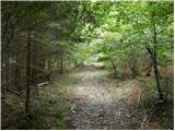 2
2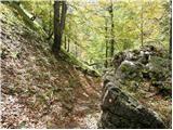 3
3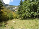 4
4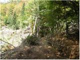 5
5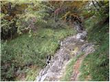 6
6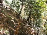 7
7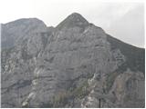 8
8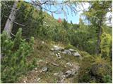 9
9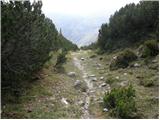 10
10 11
11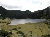 12
12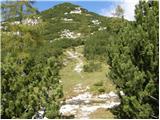 13
13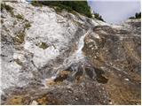 14
14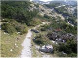 15
15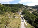 16
16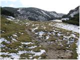 17
17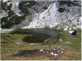 18
18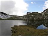 19
19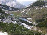 20
20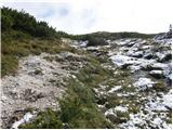 21
21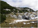 22
22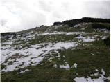 23
23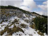 24
24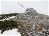 25
25
Discussion about the trail Za Loncem - Deska (Veža)
|
| Lea5816. 07. 2021 19:31:25 |
Prave koordinate izhodišča so:
46,3289N 14,6514E
V Lučko Belo sem šla preteklo nedeljo. Navedene koordinate bi me na cilj pripeljale nekje pri Kamniku.
LP
|
|
|
|
| lubadar16. 07. 2021 21:58:14 |
Kakšna je pa kaj cesta do izhodišča?
|
|
|