Za Ušivcem - Gradišče (Velika planina) (via Mala planina)
Starting point: Za Ušivcem (1400 m)
| Lat/Lon: | 46,3079°N 14,6729°E |
| |
Name of path: via Mala planina
Time of walking: 2 h
Difficulty: easy marked way
Altitude difference: 266 m
Altitude difference po putu: 330 m
Map: Kamniške in Savinjske Alpe 1:50.000
Recommended equipment (summer):
Recommended equipment (winter):
Views: 67.696
 | 2 people like this post |
Access to the starting point:
a) First, drive to Kamnik, then continue driving towards the Črnivec Pass. Just a few 100 m before the pass, you will see signs for Kranjski Rak, which direct you sharp left onto a narrow and initially quite steep road. The road is then higher and leads to the Volovjek Pass, where, just after the Kranjski Rak guesthouse, turn left onto the road in the route Velika planina. Continue along the dirt road, which leads you higher up to the next slightly larger crossroads. Continue right (straight ahead mountain pasture Kisovec) and follow the moderately ascending road to the larger and marked parking area Za Ušivcem.
b) From the Savinjska valley, first drive to Luce, then continue to Kamnik. When you reach the Volovjek (Kranjski Rak) pass, turn right in the route Velika planina. Continue following the above description.
Path description:
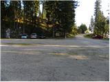
At the parking lot we see signs for Malo and Velika planina, which direct us into the forest, on a well-trodden but unmarked path. The path first climbs through the forest, then lays down and leads us out of the forest onto grassy slopes, where it turns slightly to the left and joins the forest road. Walk along the road for a short distance before reaching the following direction signs.
Here, an unmarked track branches off slightly to the right, leading to Velika planina, and we continue straight on along the marked path in the direction of Mala and Velika planina. The way forward still leads us along the road, which leads us past the hunting observatory to the next marked crossroads, where a narrower road branches off to the right towards Dovja Ravni. Continue straight along the road in the direction of Mala mountain pasture, which leads us to Gojška planina, where we continue to the right in the direction of Jarško, Črnuško and Domžalski dom. After an hour and fifteen minutes' walk from the starting point, we arrive at the Jarško Home at Mali mountain pasture.
Go around the house on the left and then continue your ascent along a wide path that climbs gently through a sparse forest. After a few minutes, the path to the Črnuška Home branches off to the left, and we continue straight ahead, following the wide path all the way to the Domžale Home at Mali mountain pasture.
The path then descends into a small valley, where we rejoin the broad path (almost a road). Continue to the right and follow the path to a less well-marked fork in the path, where a path forks off to the left in the direction of the Gradiščkovi shepherd's hut. After a short climb, the path leads to the above-mentioned settlement, from which you continue along a poorly visible but marked path. The way forward leads us past numerous benches, up a moderately steep slope. Soon the path leads us between two peaks, where we continue slightly to the right. In the middle of the ascent, we see a sign saying chairlift right (to the left, in the direction of our ascent, a shepherd's settlement). Continue in the direction of the chairlift along the path which quickly leads to the top of the slope Velika planina. Here we continue to the right along a marked path which, after a few steps of ascent, leads us to Gradišče.

Pictures:
 1
1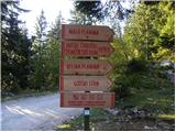 2
2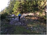 3
3 4
4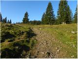 5
5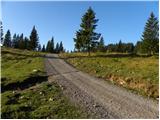 6
6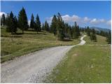 7
7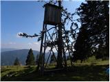 8
8 9
9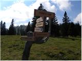 10
10 11
11 12
12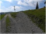 13
13 14
14 15
15 16
16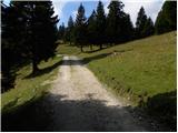 17
17 18
18 19
19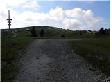 20
20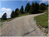 21
21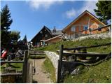 22
22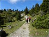 23
23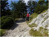 24
24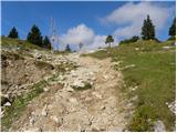 25
25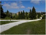 26
26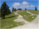 27
27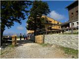 28
28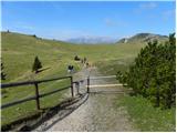 29
29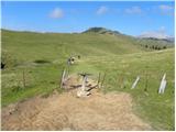 30
30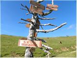 31
31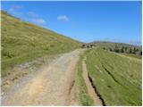 32
32 33
33 34
34 35
35 36
36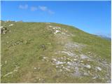 37
37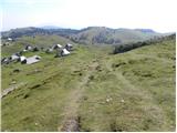 38
38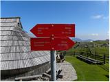 39
39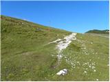 40
40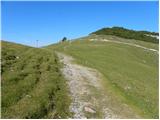 41
41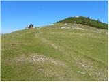 42
42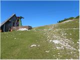 43
43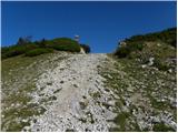 44
44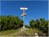 45
45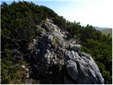 46
46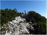 47
47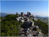 48
48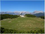 49
49
Discussion about the trail Za Ušivcem - Gradišče (Velika planina) (via Mala planina)
|
| naroblek23. 09. 2013 |
Želel bi opozoriti, da je opis dostopa do izhodišča za Veliko planino pomanjkljiv. Iz Kamnika nadaljujemo v smeri Velike planine in v Stahovici nadaljujemo pot naravnost v smeri Gornjega grada, saj oznak za prelaz Črnivec ni nikjer. Nadaljevanje dostopa pa je v opisu primerno navedeno, čeprav bi rad dodal, da so posamezne navedene točke med seboj oddaljene tudi po nekaj km in traja kar nekaj časa, da jih dosežemo. LP
|
|
|
|
| petruša10. 04. 2014 |
Pozdravljeni, mene samo zanima, če je do sem normalno prevozna cesta. Če bo vreme bi šli 19.4 . Hvala in lp
|
|
|
|
| otiv10. 04. 2014 |
Do tvojega datuma bo cesta v celoti kopna. Trenutno je še kratek odsek s snegom, katerega nekateri prevozijo z zaletom. Jaz sem avto parkiral nižje. Ob tvojem obisku verjetno ne bo več toliko cvetja, kolikor ga je te dni.
Lep pozdrav!
|
|
|