Zadnja Trenta (Flori) - Vršac (above Zadnja Trenta)
Starting point: Zadnja Trenta (Flori) (962 m)
| Lat/Lon: | 46,4043°N 13,7098°E |
| |
Time of walking: 4 h 30 min
Difficulty: difficult pathless terrain, very difficult marked way
Altitude difference: 1151 m
Altitude difference po putu: 1240 m
Map: TNP 1:50.000
Recommended equipment (summer): helmet
Recommended equipment (winter): helmet, ice axe, crampons
Views: 706
 | 3 people like this post |
Access to the starting point:
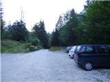
From Kranjska Gora, drive over the Vršič pass towards Bovec or vice versa, but only as far as the 49th serpentine of the vršiška road (near the village of Trenta). Here, take a side road in the direction of the source of the Soča River. After a short climb, the road quickly leads us to a parking area in front of a hut at the source of the Soča River, but we continue to the left over a bridge and follow the road to a parking area at the end of the road (at the parking area, we see the mountain signs for Bavški Grintavec, the waterfalls of the Suhega potok and Jalovec).
Path description:
From the parking lot, continue along the road, which is closed with a barrier, and after a few dozen metres you will reach a crossroads.
Turn right towards Jalovec and the Shelter under Špičko. The path quickly turns into a dense forest, where it starts to climb steeply. After about an hour and a half of walking, the steep path, which almost all the time passes through the forest, leads to a crossroads, where we continue along the left path in the direction of the shelter under Špičko (to the right Jalovec, Mali kot and Jalovška škrbina, both marked). The way ahead lays down gently for a while and then starts climbing steeply again, this time through an occasionally increasingly sparse forest. Higher up, the forest becomes even more sparse and the path starts to open up to beautiful views of the surrounding peaks. Just a little further on, we reach a marked crossroads, where a marked but poorly graded path to Bavški Grintavec branches off to the left.
Turn left onto the above-mentioned path and cross the slopes to the south-west. The path here mostly follows the dwarf pines and sparse larch trees. The path then turns slightly to the right for a short distance and crosses a short steep slope. The poorly trodden path then crosses the slopes again, and the ridge of peaks from Vršac to Veliki Pelc can be seen ahead. The path then descends gently and leads us towards a wide ravine on the left side of Vršac. When we reach the ravine, we start climbing steeply again. At first the path runs along the right side and then climbs up the left side of the ravine, which is overgrown with grass. The higher we approach the steep rocky slopes, the path turns sharply to the left. The path then turns left and begins to climb steep and exposed terrain. The path is very poorly trodden and overgrown with grass and other vegetation, making it very dangerous to slip on, especially in wet conditions. The path is also not protected, so a little more caution is needed.
This path then leads to less steep grassy slopes on the south-eastern side of Vršac. We leave the marked path here and head slightly right towards the slopes of Vršac. The marked path is very faintly visible here and runs slightly to the left and then begins to descend.
Continue up the grassy slope on the SE side of the mountain. Keep climbing up the grassy slope and choose less steep passages. Higher up, the grassy slope becomes very steep for a short distance and is very dangerous for slipping, especially in wet conditions. The steepness then eases and soon you reach the main ridge of the mountain. Continue along the grassy ridge, which, although somewhat exposed, is wide enough not to cause any major problems. Following this ridge, we soon reach the summit.
You can descend along the ascent route or take a slightly easier option by continuing along the ridge to a small notch and then descending left towards cirque Srednjica. Follow the scree path back to the grassy slopes below Vršac. It is advisable to return to the marked trail at approximately the point where you left it on the ascent. The slopes are steeper further south-west.

Pictures:
 1
1 2
2 3
3 4
4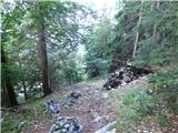 5
5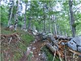 6
6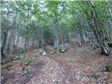 7
7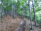 8
8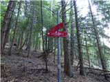 9
9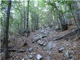 10
10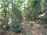 11
11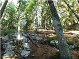 12
12 13
13 14
14 15
15 16
16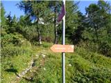 17
17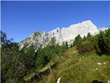 18
18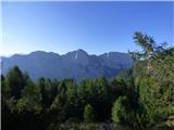 19
19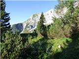 20
20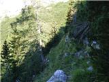 21
21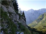 22
22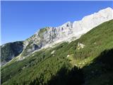 23
23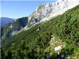 24
24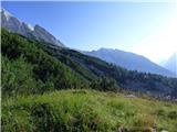 25
25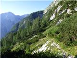 26
26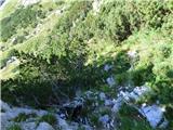 27
27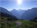 28
28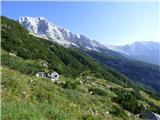 29
29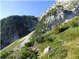 30
30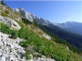 31
31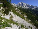 32
32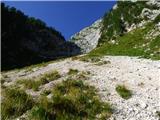 33
33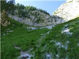 34
34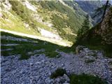 35
35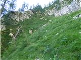 36
36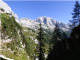 37
37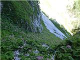 38
38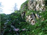 39
39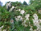 40
40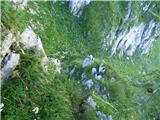 41
41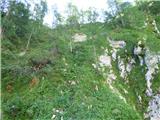 42
42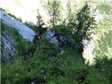 43
43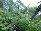 44
44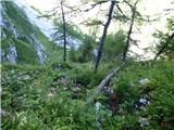 45
45 46
46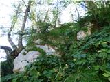 47
47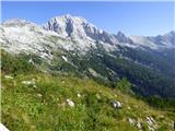 48
48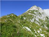 49
49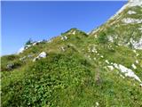 50
50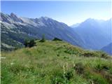 51
51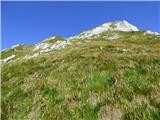 52
52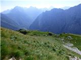 53
53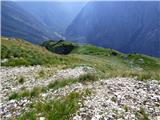 54
54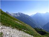 55
55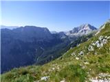 56
56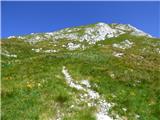 57
57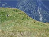 58
58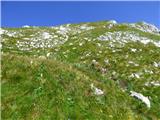 59
59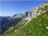 60
60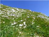 61
61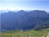 62
62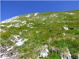 63
63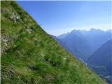 64
64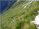 65
65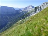 66
66 67
67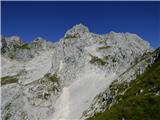 68
68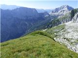 69
69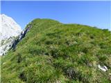 70
70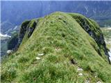 71
71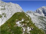 72
72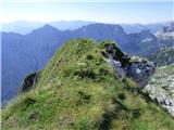 73
73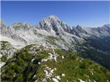 74
74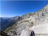 75
75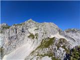 76
76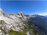 77
77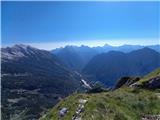 78
78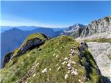 79
79
Discussion about the trail Zadnja Trenta (Flori) - Vršac (above Zadnja Trenta)