Zadnja Trenta (Flori) - Zagorelec
Starting point: Zadnja Trenta (Flori) (962 m)
| Lat/Lon: | 46,4043°N 13,7098°E |
| |
Time of walking: 4 h 10 min
Difficulty: easy pathless terrain, difficult marked way
Altitude difference: 1128 m
Altitude difference po putu: 1230 m
Map: TNP 1:50.000
Recommended equipment (summer):
Recommended equipment (winter): ice axe, crampons
Views: 3.380
 | 5 people like this post |
Access to the starting point:
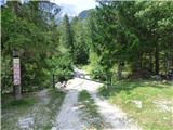
From Kranjska Gora, drive over the Vršič pass towards Bovec or vice versa, but only as far as the 49th serpentine of the vršiška road (near the village of Trenta). Here, take a side road towards the source of the Soča River. After a short climb, the road quickly leads us to a parking area in front of a hut at the source of the Soča River, but we continue to the left over a bridge and follow the road to a parking area at the end of the road (at the parking area, we see the mountain signs for Bavški Grintavec, the waterfalls of the Suhega potok and Jalovec).
Path description:
From the parking lot, continue along the road, which is closed with a barrier in the direction of Bavški Grintavec. Continue slightly left along the road that runs along the bed of the Suhega brook, and to the right is the path towards Zavetišče pod Špičkom and Jalovec. Walk along the road for a while and then cross the stream. When crossing, you have to be a bit more attentive as the path is not visible here. On the other side, however, you can see a wooden post with signposts. On the other side, the path first leads past a few private houses and then passes through the woods on the left side of the riverbed for some time. Further along the path you will also see a number of fallen trees, the result of avalanches. A little later the path leads us to a marked crossroads where the path to Zapotok waterfalls branches off to the left and we continue to the right in the direction of Bavški Grintavec.
The path then quickly leads us to the bed of a torrent where the trail again becomes somewhat lost. Continue along the stream for a few metres, then cross it slightly to the right and head towards the second stream bed, which is visible slightly to the right. Start climbing along the left-hand side of this stream and the path becomes more visible again. After a short climb, the path leaves the stream and turns sharply to the left.
Here you first cross slopes covered with bushes and dwarf pines, and then the path leads you into a sparse forest. The path climbs steeply from time to time, and in the shorter part we are also helped by a few wedges, which help us to reach a lookout point where a cross is also placed. The slopes that we cross become steeper and some caution is needed. The path here crosses a few short steep ravines and occasionally the fixed safety gear are also helpful.
Further on, the path mostly passes through the forest, but occasionally we still get beautiful views of the peaks above Zadnja Trenta.
We continue to climb mostly crosswise over steep slopes, and a little higher up the path we also get a view towards the Zapotoški waterfalls.
The path soon gives way to the steep slopes above the valley and leads us through the forest to Mountain pasture Zapotok. On the mountain pasture, which has long since ceased to be active, we continue to the shepherd's hut, and on the left hand side below the hut we will also notice a stream which springs up nearby.
From the hut, initially descend a little to the stream bed where you continue to the right. The path then leads us back into the forest and begins to climb, but soon turns more decisively to the left. Here, a short section of the path is also helped by a steel cable. We continue to climb through the forest, and the path starts to turn right again.
Later, the path leads us to a small crossroads where an unmarked path branches off to the left, leading towards the wall of Srebrnjak (marked with a small man), and we continue to the right along the marked path. Further on, we pass into a slightly rarer larch forest and more and more beautiful views of the surrounding peaks begin to open up. When we get a little closer to the slopes of Zapotoško vrh and the larches become quite rare, the path leads us to another crossroads.
This time the unmarked path to the left branches off towards the Velika Vrata saddle, and we continue to the right along the marked path. Here the path then leads us along dwarf pines for a while, then along a partly grassy slope and finally we arrive at the scree under Bavškim Grinavec. Here we also reach a marked crossroads where the path to Bavški Grintavec branches off to the left, and we continue to the right towards the Kanja saddle. We then cross the scree for a while, and when we get a little closer to the saddle, the path towards the saddle splits into two. We continue on the right and when the grassy slopes on our right are not too steep, we leave this path and head right onto the trackless road.
When we leave the marked path we cross a grassy slope which leads us to an otherwise marked but very poorly visible path leading towards Zavetišču pod Špičkom. Leave this path quickly and continue along the valley between the peaks Šmihelovec on the left and Zagorelec on the right in the direction of the Čez Lužo saddle. Here you can walk along the valley floor or higher up on the right side where there is an occasional trail.
As you approach the saddle across the Lužo, bear right and climb up to the ridge where you continue left. Continue along the ridge until you reach the top of Zagorelec.

Pictures:
 1
1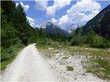 2
2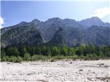 3
3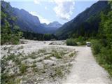 4
4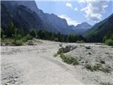 5
5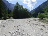 6
6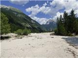 7
7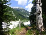 8
8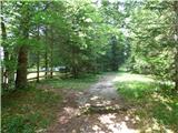 9
9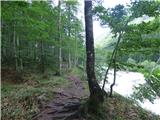 10
10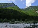 11
11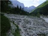 12
12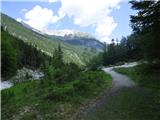 13
13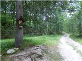 14
14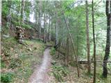 15
15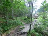 16
16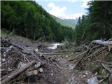 17
17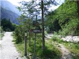 18
18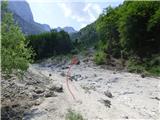 19
19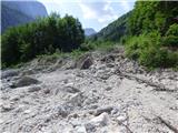 20
20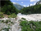 21
21 22
22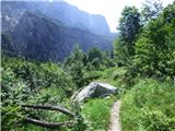 23
23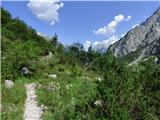 24
24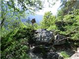 25
25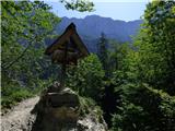 26
26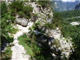 27
27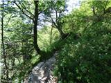 28
28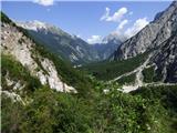 29
29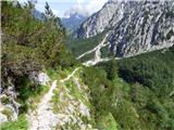 30
30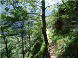 31
31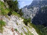 32
32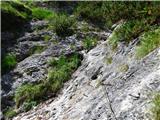 33
33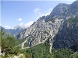 34
34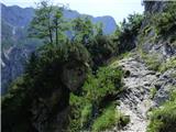 35
35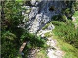 36
36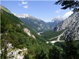 37
37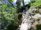 38
38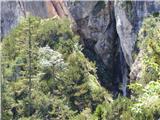 39
39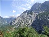 40
40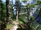 41
41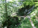 42
42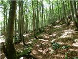 43
43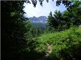 44
44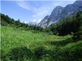 45
45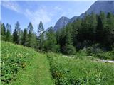 46
46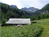 47
47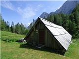 48
48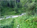 49
49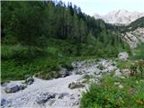 50
50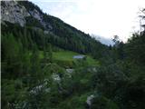 51
51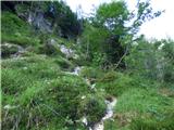 52
52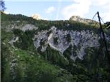 53
53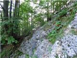 54
54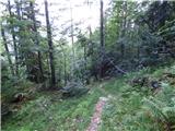 55
55 56
56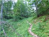 57
57 58
58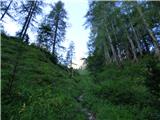 59
59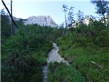 60
60 61
61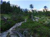 62
62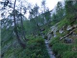 63
63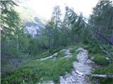 64
64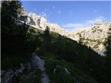 65
65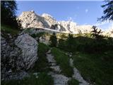 66
66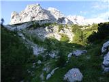 67
67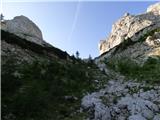 68
68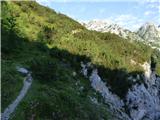 69
69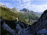 70
70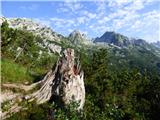 71
71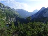 72
72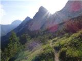 73
73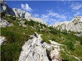 74
74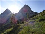 75
75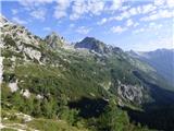 76
76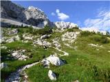 77
77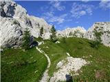 78
78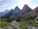 79
79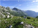 80
80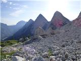 81
81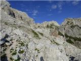 82
82 83
83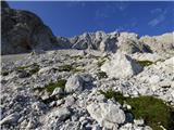 84
84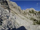 85
85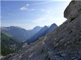 86
86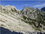 87
87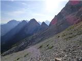 88
88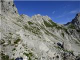 89
89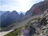 90
90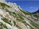 91
91 92
92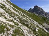 93
93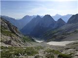 94
94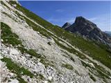 95
95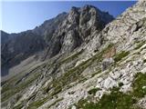 96
96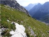 97
97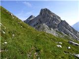 98
98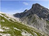 99
99 100
100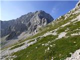 101
101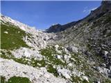 102
102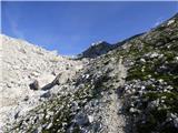 103
103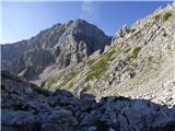 104
104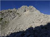 105
105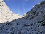 106
106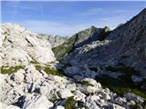 107
107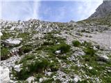 108
108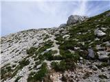 109
109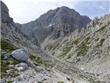 110
110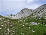 111
111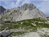 112
112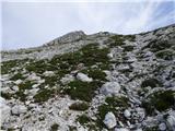 113
113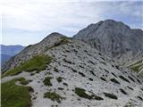 114
114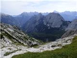 115
115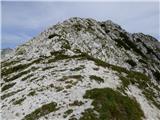 116
116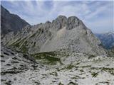 117
117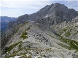 118
118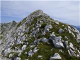 119
119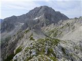 120
120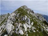 121
121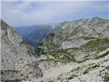 122
122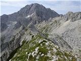 123
123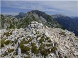 124
124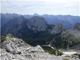 125
125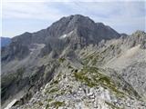 126
126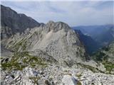 127
127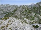 128
128 129
129
Discussion about the trail Zadnja Trenta (Flori) - Zagorelec
|
| dprapr15. 10. 2021 21:26:23 |
Pri takšnih brezpotnih opisih bi bilo smiselno v začetku samo na kratko omeniti markirano pot za BG do razcepa za sedlo Kanja.
|
|
|
|
| darinka415. 10. 2021 21:47:43 |
Sva bila letos v začetku septembra. Tiste potke ki ni označena ni težko najti. Je pa tura kodicijsko kar zahtevna. Midva sva rabila do vrha 5 ur.Vrh pa je lep razglednik. In če imaš sonce in brezvetrje si kaj več niti želeti ne moreš. Na enem delu pred sedlom Kanja zmanjka pot. In je treba iti nekoliko naokoli.
|
|
|
|
| mirank16. 10. 2021 19:01:08 |
Za ljubitelje brezpotij je še lepši pristop iz Bavšice. Približno isti čas nam je vzel pristop čez V Jelenk. Sestopali smo čez sedlo Kanja-Pri farjih 
|
|
|
|
| darinka410. 09. 2024 21:59:23 |
Čudovit dan je bil danes. Nikjer nikogar. Le nebo in let jate kokošk. Za konec , ko je bilo časa dovolj še do zapotoških slapov. Štirje so. Potka je lepo vidna . Sedaj ko je vode dovolj so ravno pravšnji za obisk.
|
|
|