Zadnja Trenta (Flori) - Zapotok waterfalls
Starting point: Zadnja Trenta (Flori) (962 m)
| Lat/Lon: | 46,4043°N 13,7098°E |
| |
Time of walking: 1 h 20 min
Difficulty: partly demanding unmarked way
Altitude difference: 178 m
Altitude difference po putu: 200 m
Map: TNP 1:50.000
Recommended equipment (summer):
Recommended equipment (winter): ice axe, crampons
Views: 9.030
 | 3 people like this post |
Access to the starting point:
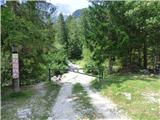
From Kranjska Gora, drive over the Vršič pass towards Bovec or vice versa, but only as far as the 49th serpentine of the vršiška road (near the village of Trenta). Here, take a side road towards the source of the Soča River. After a short climb, the road quickly leads us to a parking area in front of a hut at the source of the Soča River, but we continue to the left over a bridge and follow the road to a parking area at the end of the road (at the parking area, we see the mountain signs for Bavški Grintavec, the waterfalls of the Suhega potok and Jalovec).
Path description:
From the parking lot, continue along the road, which is closed with a barrier in the direction of Bavški Grintavec. Continue slightly left along the road that runs along the bed of the Suhega brook, and to the right is the path towards Zavetišče pod Špičkom and Jalovec. Walk along the road for a while and then cross the stream. When crossing, you have to be a bit more attentive as the path is not visible here. On the other side, however, you can see a wooden post with signposts. On the other side, the path first leads past some private houses and then passes through the woods on the left side of the riverbed for some time. Further along the path you will also see a number of fallen trees, the result of avalanches. A little later the path leads us to a marked crossroads where the marked path continues to the right towards Planina Zapotok and Bavškemu Grintavcu. We leave the above-mentioned path here and turn left where we are directed by the signs for the Zapotoš waterfalls.
From the crossroads, continue along the sloping path and cross the gravel bed of the torrent. The path then leads us into the forest where we continue along the Dry Stream. The path here runs left over the stream and later descends to the stream and leads us to a less visible crossroads.
Further along the sturga of the stream, the path leads to the first waterfall, which is about 15 metres high. After seeing the waterfall, return to the crossroads and cross the stream to the other side, where you can see some cairns.
The path leads into the forest again and turns left. Here we start to climb steeply and soon come above the first waterfall which, with a little care, can be viewed from the viewpoints along the way. Continue through the forest and from the path you can see two more small waterfalls with a pool. Soon you will reach the next slightly larger double waterfall. Here you can also descend to the riverbed and have a closer look at the waterfall.
After the waterfall, return to the beaten track and continue climbing through the forest. Once above the double waterfall, the path soon turns left and descends to the stream bed. At the point where you descend towards the stream bed, a path also branches off to the right, leading to a viewpoint from where you can see the largest waterfall. The path becomes very faint further on.
We continue walking along the stream and later cross it to the left where we will see the better-trodden track again. Here we also have a view of the mighty upper waterfall, which splits into two strands about halfway up. The path then ends shortly and if you want to climb up to the pool below the upper waterfall you have to continue along the stream bed. This is only possible when there is not much water in the stream. Even then, the last climb is very difficult and is on slippery rock.

Pictures:
 1
1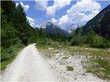 2
2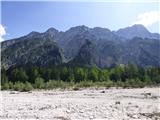 3
3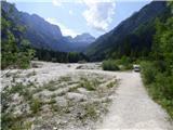 4
4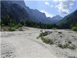 5
5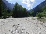 6
6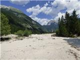 7
7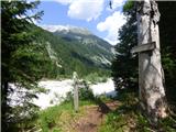 8
8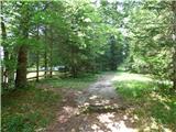 9
9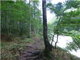 10
10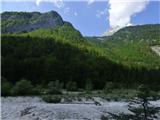 11
11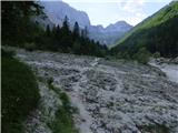 12
12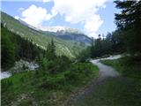 13
13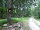 14
14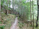 15
15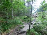 16
16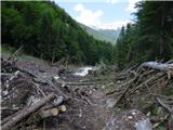 17
17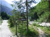 18
18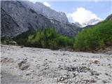 19
19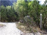 20
20 21
21 22
22 23
23 24
24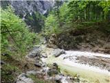 25
25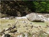 26
26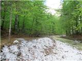 27
27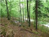 28
28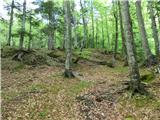 29
29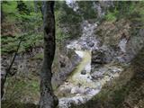 30
30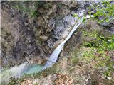 31
31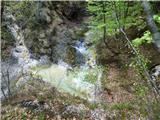 32
32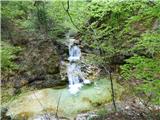 33
33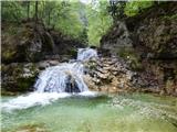 34
34 35
35 36
36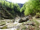 37
37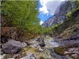 38
38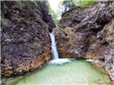 39
39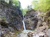 40
40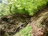 41
41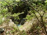 42
42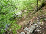 43
43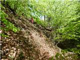 44
44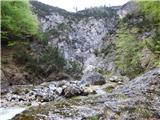 45
45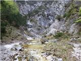 46
46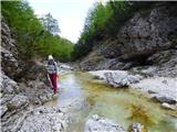 47
47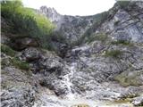 48
48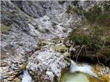 49
49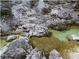 50
50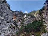 51
51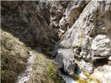 52
52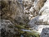 53
53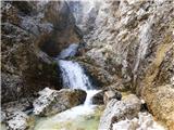 54
54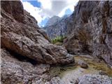 55
55
Discussion about the trail Zadnja Trenta (Flori) - Zapotok waterfalls