Zadnjica - Kanjavec (via Prehodavci)
Starting point: Zadnjica (690 m)
| Lat/Lon: | 46,3824°N 13,7604°E |
| |
Name of path: via Prehodavci
Time of walking: 6 h 15 min
Difficulty: easy marked way
Altitude difference: 1879 m
Altitude difference po putu: 1965 m
Map: Triglav 1 : 25.000
Recommended equipment (summer):
Recommended equipment (winter): ice axe, crampons
Views: 68.427
 | 2 people like this post |
Access to the starting point:
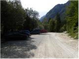
From Kranjska Gora, drive over the Vršič pass towards Bovec or vice versa, but only as far as the 50th serpentine of the Vršiška or Ruska road (near the village of Trenta). Here you turn onto a side road, and then park for a few 100 metres in a roadside parking lot.
Path description:
From the parking lot, continue along the road, which takes you past a few houses (mainly at weekends) in about 15 minutes to a place where the road splits into two parts (there used to be a parking lot at the crossroads, but now parking is prohibited).
Continue along the lower right road (the upper road leads to the cargo cableway leading to Pogačnikov dom) in the direction of Doliča, Luknja and Prehodavci. Initially, follow the gently sloping road, which leads us across the meadows and higher up through the forest, almost to its end, or more precisely to a marked crossroads, where a marked footpath branches off to the right towards Prehodavci (it takes about 1 hour to get here).
From the crossroads in the area called Utro, continue to the right (straight ahead to Luknja, Triglav and Dolič), where you first cross partly vegetated gravel and a few torrents. After a few minutes of crossing with some short ascents and descents, we reach the beginning of the Last Dol. Here the trail starts to climb moderately on the right side of the valley. Higher up, the path turns slightly more to the right, where it takes us into the wods and then returns to a rockier world. The way forward leads us to a small well, next to which there is a small bench on which we can rest. The path continues to climb moderately to steeply for some time and gradually passes onto the scree below Zadnjiškim Ozebnikom. With a view of the nearby walls of the surrounding peaks, we then climb to the saddle Čez Dol, where the trail lays down and splits into two parts.
At this crossroads, continue left in the direction of Zasavska koča na Prehodavcih (straight ahead Trenta) and continue up the path, which continues over a rather steep and exposed slope. Follow this slightly narrower path to a nearby crossroads, where you join the mulatier from Trenta.
(If we find the short, slightly exposed part to dangerous, we can also take a slightly longer route to reach this crossroads. In this case, at the previous crossroads, continue straight on in the direction of Trenta and then a little further left in the direction of Prehodavci).
At this crossroads, continue straight ahead and continue climbing along a wide mulatier which crosses steep and precipitous slopes. As you climb over the precipitous slope, you will see a small "chapel" (statue of Mary and Jesus) on the left-hand side.
The slope becomes less steep and more scenic as the route continues. Higher up, a well-preserved mulatier leads us over the slightly less steep slope of Zelena Griva, and above it the slope becomes steeper again. There are a few short steep sections, and then the path and the slope fall away. A little above the unmarked break, you reach a marked crossroads, where you continue left (right Lepo or Veliko špičje - the path of Stank Kos, straight Koča pri Triglavskih jezerih) towards the nearby Zasavska hut on Prehodavci. The way forward leads us along a wide and scenic ridge, which leads us past the winter bivouac in a few minutes to the Zasavska hut. From Zasavska hut, descend a few 10 steps to the nearby winter bivouac, and from there continue left downhill (straight Zadnjica, Špičja ridge and Koča pri Triglavskih jezerih, the latter can also be reached if you continue left) towards the easier route to Koča na Doliču. In a few minutes, descend to Rjavo jezero, from where you continue straight up towards Hribarice (Zeleno jezero and Koča pri Triglavskih jezerih on the right). The trail, which continues under the Poprovec scree, then climbs crosswise to the right. A little higher up, the path from Zeleno jezero or the Hut at Triglav Lakes joins. Continue climbing for some time towards the Hribarice Pass, and before the path is laid to the right, the path from the Vrata Pass joins us. There are a few more minutes of ascent, and then the path lies on the Hribarice plateau (the Hribarice preval is located a little further on).
At the part where the path is laid, we arrive at a less visible crossroads, where we leave the path leading towards Dolič and further towards Triglav and continue the ascent to the left in the direction of Kanjavac. The way forward leads us into a small and relatively steep valley, which is located between the two peaks of Kanjavca. The increasingly scenic route, which continues along the aforementioned valley, then climbs higher and leads us to a saddle between the western and eastern summits of Kanjavac.
Here, continue to the right (to the left, the western peak on an unmarked path) and within a few minutes climb to the summit, which is panoramic and precipitous.
Zadnjica - Čez Dol 3:00, Čez Dol - Zasavska koča 1:15, Zasavska koča - Kanjavec 2:00.

Pictures:
 1
1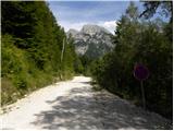 2
2 3
3 4
4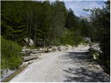 5
5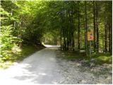 6
6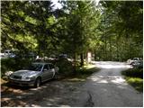 7
7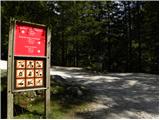 8
8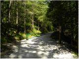 9
9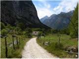 10
10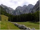 11
11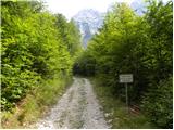 12
12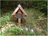 13
13 14
14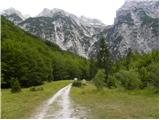 15
15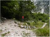 16
16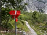 17
17 18
18 19
19 20
20 21
21 22
22 23
23 24
24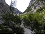 25
25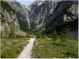 26
26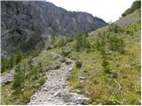 27
27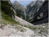 28
28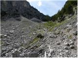 29
29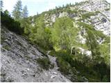 30
30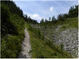 31
31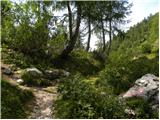 32
32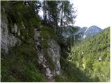 33
33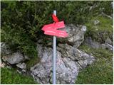 34
34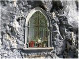 35
35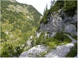 36
36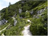 37
37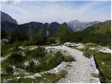 38
38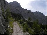 39
39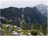 40
40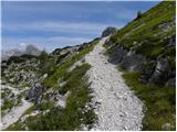 41
41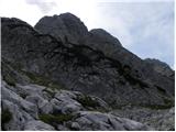 42
42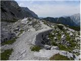 43
43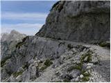 44
44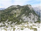 45
45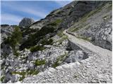 46
46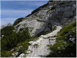 47
47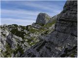 48
48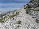 49
49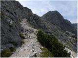 50
50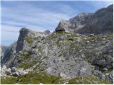 51
51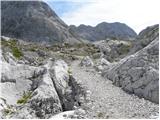 52
52 53
53 54
54 55
55 56
56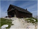 57
57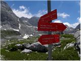 58
58 59
59 60
60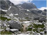 61
61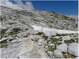 62
62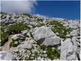 63
63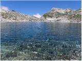 64
64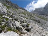 65
65 66
66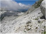 67
67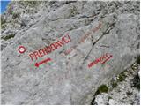 68
68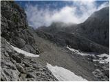 69
69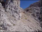 70
70 71
71 72
72 73
73 74
74 75
75 76
76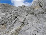 77
77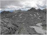 78
78 79
79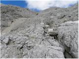 80
80 81
81 82
82 83
83 84
84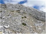 85
85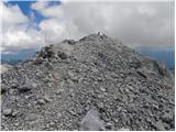 86
86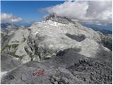 87
87
Discussion about the trail Zadnjica - Kanjavec (via Prehodavci)
|
| Guest6. 11. 2006 |
čudovit izlet,sploh do Prehodavcev.Naprej se sicer malo vleče,pa je tudi kar vredu sploh ko z vrha gledaš na očaka Triglava in Škrlatico.
|
|
|
|
| grahlck27. 06. 2009 |
Ali je na tej poti kaj snega?
|
|
|
|
| triglavski28. 06. 2009 |
Poglej pod forum - razmere, Julijske Alpe -naslov Kanjavec.
|
|
|
|
| Bizy1. 08. 2009 |
Tule je na mali karti napačna pot, kaže skozi trebski dol - to ni pravilno glede na opisano pot in slike.
Ravno tako za Zasavsko kočo na prehodavcih iz zadnjice velja ista opomba.
|
|
|
|
| gorski_moz11. 11. 2009 |
Mi lahk prosim nekdo neki razloži.
Js sem se registriro pa vse,pa sn dal pod opis gore,pa sn opiso naložo slike,jih mam ful(kanjavec),zdaj me pa zanima kako lahko drugi pridejo do teh slik,da lahko gledajo,npr. tak kot maš ti,js ne vem pod kaj naj grem ne da bi se registriro.
Prosim če mi lahko poveste
lp
|
|
|
|
| Kriška11. 11. 2009 |
Za začetek bi koristilo, če bi svoje vprašanje (vprašanja?) napisal v slovenščini, da bomo vsi razumeli, kaj te pravzaprav zanima?
|
|
|
|
| geppo11. 11. 2009 |
Tam nekje dve tri slikce su ful dobre, lahk bi ble tud za Facebook!!
Lp
|
|
|
|
| FRSA18. 08. 2011 |
Ali kdo mogoče ve, koliko časa se hodi od Kanjavca do Prehodavcev čez prelaz Hribarice (iz smeri Doliča)?
Hvala in lp
|
|
|
|
| mukica18. 08. 2011 |
Približno 1 do 2 uri .Od vrha Kanjavca pa do koče,odvisno kako hiter imaš korak 
|
|
|
|
| IgorZlodej19. 08. 2011 |
1 ura, s tem, da Hribarice izpustiš in se držiš desno.
|
|
|
|
| metod19. 09. 2011 |
Bolj kot sam vrh me je navdušil pogled na Kanjavčeve stene z (Vodnikovega) Vršaca, tako, da se že veselim novega izleta. Samo vreme naj še zdrži nekaj dni.
|
|
|
|
| MrvdMr-8225. 01. 2012 |
Zivijo mene pa zanimajo razmere za na kanjavec, zanima me kakšna je pot ce je bil kdo nedolgo tega na vrhu? 
|
|
|
|
| sla25. 01. 2012 |
Povezavo imaš na forumu Turnega kluba Gora.
|
|
|
|
| Triglav Kanjavec29. 07. 2014 |
Video iz nasega pohoda 26.julij.2014  <a target=# class=moder href="http://www.youtube.com/watch?v=3rQYkcBGeJ8">Kanjavec 2014</a>
|
|
|
|
| osa1. 07. 2015 |
Načrtujem pot iz Zadnjice preko Prehodavcev na Kanjavec, sestop na Dolič in po muletjeri nazaj v Zadnjico. Zanima me ali je pot v celoti kopna saj zimske opreme nimam.
|
|
|
|
| lakkon30. 07. 2017 |
Pozdravljeni ljubitelji gora!
jutri ''pade'' krožna Zadnjica - koča Prehodavci - Kanjavec - koča Dolič - Zadnjica
je morda zelo priporočljivo, da se tudi v ponedeljek pojavim na parkirišču v Zadnjici čim bolj zgodaj? se da v primeru polnega parkirišča brez težav parkirati tudi bližje ali to celo ni dovoljeno?
aja, je trenutno kakšna posebnost na omenjeni poti, ki morda naredi turo težjo in ni zapisana v opisu?
hvala za pomoč.
|
|
|
|
| redbull30. 07. 2017 |
Snega ni več, tako da zimska oprema se ne potrebuje 
|
|
|
|
| turbo30. 07. 2017 |
Parkiraš Na Logu poleg centra TNP in greš na Prehodavce prek Trebiškega Dola, sestop pa opraviš skozi Zadnjico nazaj v vas. 
|
|
|
|
| Grenaleva10. 09. 2019 |
Je kdo delal krožno čez Dolič gor in Prehodavce dol? So dobre oznake? Hvala
|
|
|
|
| bo_zl10. 09. 2019 |
Grenaleva: lansko leto sem prehodil pot iz Zadnnjice na Dolič, od tam na Kanjavec in do Zasavske koče na Prehodavcih in od tam v Zadnjico. Vse super markirano in označeno. NI kaj zgrešiti.
|
|
|
|
| bo_zl10. 09. 2019 |
popravljam, sem prebral moje komentar pod izlet Kanjavec čez Dolič in Prehodavce, in ja zdaj se spomnim od Kanjavca do mesta kjer se na Hribaricah pot priključi tisti iz Doliča na Prehodavce je bila pot slabo označene in kar nekaj težav z orjentacijo, Mogoče so pa letos že kaj na novo pobarvali markacije. Kako hitro človek pozablja.
|
|
|
|
| Grenaleva11. 09. 2019 |
Hvala lepa za odgovor. Koliko časa je trajal krog?
|
|
|
|
| bo_zl12. 09. 2019 |
Žal nimam zapisano. Edino to sem napisal da je bila dolga pot....mislim da nekje 12 ur s postanki vred že moraš računati.
|
|
|
|
| Grenaleva18. 09. 2019 |
V soboto sem opravila turo in je lepo označena, razen od odcepa za kočo na Triglavskih jezerih in do Prehodavcev se markacije izgubije med skalami. Če je lepo vreme se Prehodavci itak vidijo, če pa je megla, pa se je bolje spustiti do spodnje poti. Definitivno je bolje gor čez Dolič. Če je primerna kondicija, gre z vsemi postanki tudi hitreje. Sicer pa odlična krožna tura
|
|
|
|
| Jernej96828. 04. 2021 13:56:13 |
V soboto sva s kolegom opravila opisano pot. Kmalu za odcepom, na katerem zapustimo mulatjero na Dolič, sva na poraslem prodišču naletela na plazovino in podrta drevesa, ki precej otežijo dostop do začetka Zadnjiškega Dola. Na te ovire je potrebno računati tudi v letošnji poletni sezoni. Od tu naprej sva hodila samo še po snegu. Zadnjiški Dol je zasut s številnimi plazovinami, kar vzpon po dolini malo otežuje. Na pobočju Zelene grive sva zagazila nekoliko bolj v desno (usmerjena nad običajno mulatjero, ki se tu zravna, v nadaljevanju pa se spet usmeri desno v strmo pobočje). Na greben sva tako prišla precej bolj desno, kot pride mulatjera. Zaradi navala turnih smučarjev sva noč prebivakirala zunaj pod nadstreškom našega največjega zimskega bivaka. Naslednje jutro v prijetni družbi turnih smučarjev čez Hribarice na Kanjavec in po isti poti nazaj v Zadnjico. Naporna, a nepozabna tura.
|
|
|
|
| Hribolazec8112. 08. 2025 11:30:35 |
Kdo ve, kako je s spanjem v zimskem bivaku, v koči imajo žal samo eno noč prosto za spanje, koča pri Tr. jezerih pa nimajo niti ene noči prosto, bi pa prehodil tam Kanjavec, Tičarice, Zelnarice, Špičje, Triglavska jezera, tako da sem imel v planu 4 dni 
|
|
|
|
| sh12. 08. 2025 14:16:32 |
Z bivakom poleti upravlja koča in v njem ni možno prespati kar tako.
|
|
|