Zadnjica - Poprovec (via Dolič)
Starting point: Zadnjica (690 m)
Name of path: via Dolič
Time of walking: 6 h 50 min
Difficulty: difficult marked way, easy pathless terrain
Altitude difference: 1806 m
Altitude difference po putu: 1950 m
Map: Triglav 1:25.000
Recommended equipment (summer): helmet
Recommended equipment (winter): helmet, ice axe, crampons
Views: 8.270
 | 1 person likes this post |
Access to the starting point:
From Kranjska Gora, drive over the Vršič Pass towards Bovec or vice versa, but only as far as the 50th serpentine of the Vršiška cesta (near the village of Trenta). Here you turn onto a side road, which you follow up a slight incline to a parking lot in the valley of the Zadnjica River.
The road to the parking area by the lock is now closed to public traffic, so you have to park in the parking area at the entrance to the valley of the Zadnjica. This will add a good 15 minutes to the journey.
Path description:
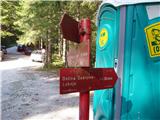
From the parking lot by the lock, turn right on the road towards Doliča and Zasavska hut. Follow the road, which climbs at first gently and then steeply, for 30 minutes to a crossroads, where you continue along the left-hand path in the direction of the hut at Dolič (Prehodavci on the right). Here, the porer road turns into a wide military mulatier, which you then climb. During the ascent, you can observe the steep walls of the surrounding peaks. After two hours of walking, the path leads to the next crossroads, where we continue right in the direction of Doliča (left Luknja). The wide path continues and then crosses some steep slopes in a moderate ascent. Some caution is needed only when crossing ravines where torrents destroy the wide path, but even in these parts there are no problems on land. A little further on, we join the climbing route over Komar, which is closer than ours but also more difficult (for experienced mountaineers). On the further ascent, we join the barely visible route from Kanjavčevih poli, which comes from Prehodavci. There is one last rather rocky climb to the Tržaška hut on Doliču.
From the hut, continue west to the right, past the winter bivouac (direction Kanjavec). The path descends for a few metres and then starts to rise again. The path is well laid out and climbs moderately on a rocky slope. After an hour's walk from the Tržaška hut, the path climbs more steeply, and some fixed safety gear is helpful. Once we have overcome this slope, we have only a few steps to the top.
From the top of Kanjavac, follow the marked path down to the saddle separating the western and eastern peaks, and then follow the less well-trodden unmarked path up to the western peak in a few minutes.
From the summit, continue westwards along a very scenic ridge, initially descending slightly. Continue walking along the easy ridge and climb to the top of Teme.
From Temena, continue walking westwards and after a short descent and ascent, reach the summit of Poprovec.

Pictures:
 1
1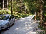 2
2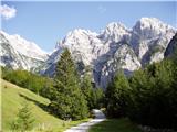 3
3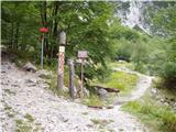 4
4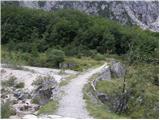 5
5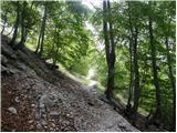 6
6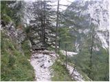 7
7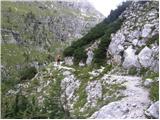 8
8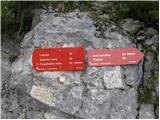 9
9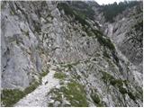 10
10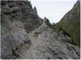 11
11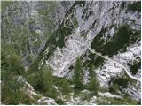 12
12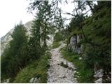 13
13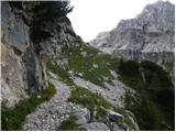 14
14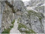 15
15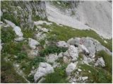 16
16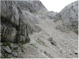 17
17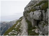 18
18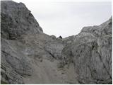 19
19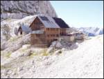 20
20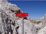 21
21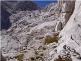 22
22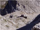 23
23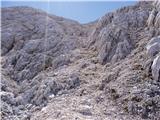 24
24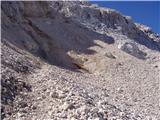 25
25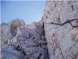 26
26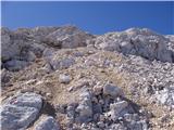 27
27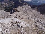 28
28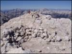 29
29 30
30 31
31 32
32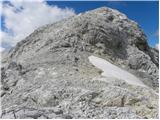 33
33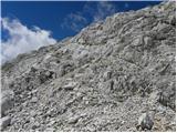 34
34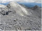 35
35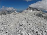 36
36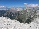 37
37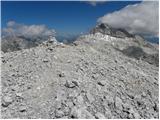 38
38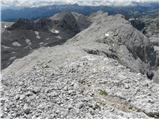 39
39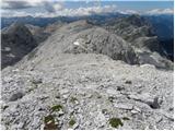 40
40 41
41 42
42 43
43 44
44 45
45 46
46 47
47 48
48 49
49 50
50 51
51 52
52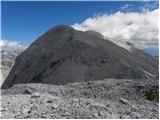 53
53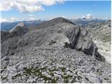 54
54 55
55 56
56 57
57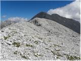 58
58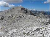 59
59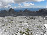 60
60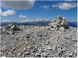 61
61 62
62 63
63
Discussion about the trail Zadnjica - Poprovec (via Dolič)