Zagrad - Grmada above Celje (steep path)
Starting point: Zagrad (240 m)
| Lat/Lon: | 46,2117°N 15,2626°E |
| |
Name of path: steep path
Time of walking: 1 h 15 min
Difficulty: partly demanding marked way
Altitude difference: 478 m
Altitude difference po putu: 478 m
Map:
Recommended equipment (summer):
Recommended equipment (winter): ice axe, crampons
Views: 15.631
 | 1 person likes this post |
Access to the starting point:
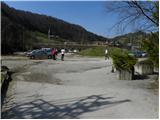
From the motorway Ljubljana - Maribor, take the exit Celje - centre and continue in the direction of Laško and Zidanega Most. The road continues through the centre of Celje and then leads to a roundabout with a water meter. Here, continue "straight ahead" (towards Laško and Zidani Most) and follow the road to the next traffic lights, where you turn left, cross the Savinja River and then turn right at the junction after the bridge. Continue to the underpass under the railway line and just a few metres further to the fire station in Zagrad, near which you can park in a larger macadam parking lot.
The starting point can also be reached from Dolenjska and Zasavje. In this case, first drive to Rimske Toplice and then through Laško to the starting point.
Path description:
On the eastern side of the parking lot, you will see signs directing you to a path that first climbs between the houses and then crosses the asphalted road. The road then climbs through the wods for a short distance before joining the road mentioned above. The road, which continues to climb gently to moderately, leads us over a grassy slope which offers a beautiful view. Higher up, the road ends, and we continue along a wide and well-surfaced mountain path which leads us further along an undistinguished valley. Higher up, we step onto a macadam road and, with the exception of a few shortcuts, follow it to a marked crossroads at which there is a sign.
Here we turn left and continue our ascent along the steep path (straight Grmada and Pečovniška koča - the path), which initially climbs moderately through the forest. The path continues through the forest and gradually becomes steeper. Higher up, the path turns to the right and passes onto steep and, especially in wet conditions, slippery slopes. At the top of the traverse, you reach a lookout point, which is located above a real precipice (caution!). From the viewpoint, continue along the marked path, which continues along an increasingly narrow and steep ridge. Just below the top of Grmada, we reach probably the most difficult part of the route. The path climbs steeply on broken rocks, which are very dangerous to slip on in the wet and snow. The path then lays down and, after a few more steps, leads to the top of Grmada.
You can descend along the path.

Pictures:
 1
1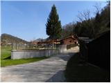 2
2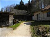 3
3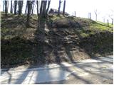 4
4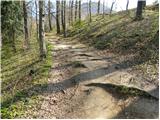 5
5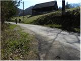 6
6 7
7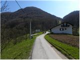 8
8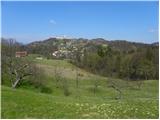 9
9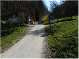 10
10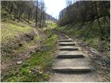 11
11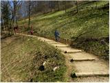 12
12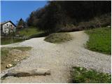 13
13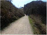 14
14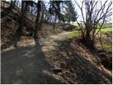 15
15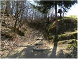 16
16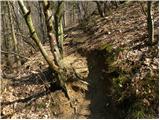 17
17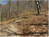 18
18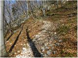 19
19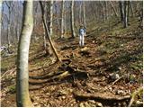 20
20 21
21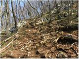 22
22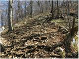 23
23 24
24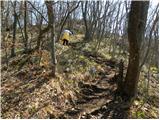 25
25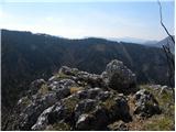 26
26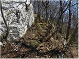 27
27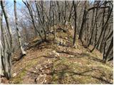 28
28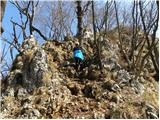 29
29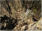 30
30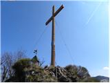 31
31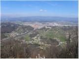 32
32
Discussion about the trail Zagrad - Grmada above Celje (steep path)
|
| dk3314. 02. 2021 |
Pozdravljeni,
Na sliki 22-23 so sedaj v pomoč že nekaj časa dodatne zajle za lažji vzpon ali spusT ( informacije za tiste, ki niso vsakodnevno na tem gričku). Lp
|
|
|
|
| zokipoki15. 09. 2021 15:53:24 |
Danes z drago po tej poti in nazaj čez Suhi potok. Strma pot, ki je sedaj delno opremljena z jeklenicami je super za otroke, da pridejo v stik z njimi. Napeljane so nizko. Obe poti sta bp..
|
|
|
|
| Marjana K30. 11. 2024 19:38:03 |
Jeklenice so super. Otroci uživajo. Tako se privajajo na tiste v visokogorju.
|
|
|