Zagrad - Tolsti vrh above Celjska koča (Po vrheh)
Starting point: Zagrad (240 m)
| Lat/Lon: | 46,2117°N 15,2626°E |
| |
Name of path: Po vrheh
Time of walking: 1 h 40 min
Difficulty: easy marked way
Altitude difference: 594 m
Altitude difference po putu: 600 m
Map:
Recommended equipment (summer):
Recommended equipment (winter):
Views: 7.687
 | 2 people like this post |
Access to the starting point:
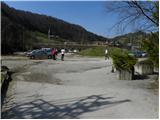
From the motorway Ljubljana - Maribor, take the exit Celje - centre and continue in the direction of Laško and Zidanega Most. The road continues through the centre of Celje and then leads to a roundabout with a water meter. Here, continue "straight ahead" (towards Laško and Zidani Most) and follow the road to the next traffic lights, where you turn left, cross the Savinja River and then turn right at the junction after the bridge. Continue to the underpass under the railway line and just a few metres further to the fire station in Zagrad, near which you can park in a larger macadam parking lot.
The starting point can also be reached from Dolenjska and Zasavje. In this case, first drive to Rimske Toplice and then through Laško to the starting point.
Path description:
On the eastern side of the parking lot, you will see signs directing you to a path that first climbs between the houses and then crosses the asphalted road. The road then climbs through the wods for a short distance before joining the road mentioned above. The road, which continues to climb gently to moderately, leads us over a grassy slope which offers a beautiful view. Higher up, the road ends, and we continue along a wide and well-surfaced mountain path which leads us further along an undistinguished valley. Higher up, we step onto a macadam road and, with the exception of a few shortcuts, follow it to a marked crossroads at which there is a sign.
Continue straight on the well-surfaced path (left Grmada steep path), which rejoins the macadam road higher up. The road then descends slightly and leads past Trobiševa bukva to a small crossroads, where you continue slightly left along the ascending cart track. The wide cart track, from which the path to Pečovniška koča soon branches off to the left, turns into a macadam road higher up, which is then followed all the way to Hotel Celjska koča.
From the Celjska hut, continue to the right (west) side of the local ski slope and then follow the footpath towards Tolstego vrh. The way forward leads us along the mushrom trail, which we follow for about 20 minutes or until we reach a marked crossroads where the trail from Laško joins. Continue to the left and continue the ascent towards Tolstega vrha along the path, which soon leads us to the upper part of the Celjska koča ski resort. Continue along the marked path which, after a short steep climb, leads to a pleasant lookout point with a bench.
Continue through the forest and after a good minute of further walking you will reach the forested Tolsti vrh.

Pictures:
 1
1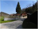 2
2 3
3 4
4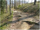 5
5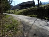 6
6 7
7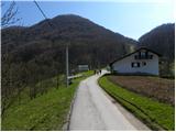 8
8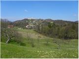 9
9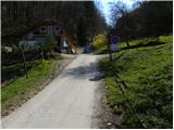 10
10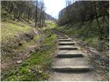 11
11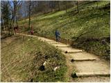 12
12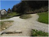 13
13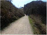 14
14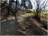 15
15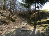 16
16 17
17 18
18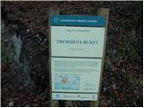 19
19 20
20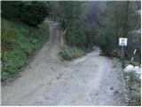 21
21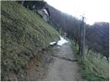 22
22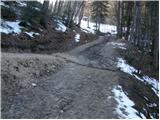 23
23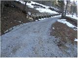 24
24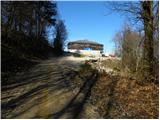 25
25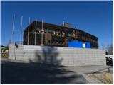 26
26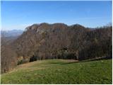 27
27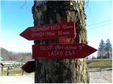 28
28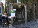 29
29 30
30 31
31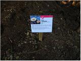 32
32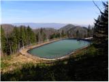 33
33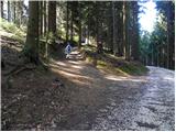 34
34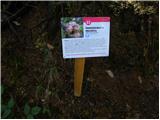 35
35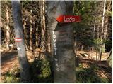 36
36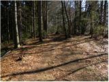 37
37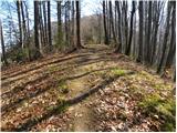 38
38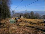 39
39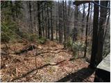 40
40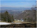 41
41 42
42 43
43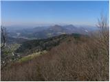 44
44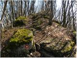 45
45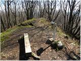 46
46
Discussion about the trail Zagrad - Tolsti vrh above Celjska koča (Po vrheh)
|
| Aerys1. 10. 2016 |
Žiga ni več. Kljub temu, da je bil fiksni je nekomu uspelo odbiti vrh in je ostalo samo stojalo.
|
|
|
|
| gregorjaunik23. 05. 2017 |
Pot prehojena 21.5.2017 z otrokoma in je super. Na vrhu je žig (če je v preteklosti manjkal). Moram pa malo pokarati markaciste, saj je pot od začetka sicer dobro označena, nato pa na nekaterih križiščih ni (res da je domačinom zelo poznana, vendar če prideš od drugod se malo loviš).
Drugače pa super pohod za družino in vse ostale.
|
|
|