Zajzera - Monte Nabois grande
Starting point: Zajzera (897 m)
Time of walking: 4 h 30 min
Difficulty: very difficult marked way
Altitude difference: 1416 m
Altitude difference po putu: 1430 m
Map: Julijske Alpe - zahodni del 1:50.000
Recommended equipment (summer): helmet, self belay set
Recommended equipment (winter): helmet, self belay set, ice axe, crampons
Views: 23.954
 | 3 people like this post |
Access to the starting point:
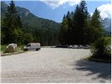
Cross the border crossing at Predel or Rateče to Trbiž / Tarvisio. Continue along the old road to Udine. After a few kilometres from Trbiž / Tarvisio, the road to Ovčje vas / Valbruna turns off to the left. At Sheep's Village / Valbruna turn left and follow the road up the Zajzere valley. After a few kilometres of driving, you will come to a crossroads at a small bridge over the road (at the second bridge). Here, turn left towards the signs for St. Visari / Monte Lussari and then, after a few metres of driving, turn right into a large parking lot.
Path description:
At the end of the parking lot, take the cart track signpost, which joins the road after a few dozen metres. Continue left over the bridge and follow the road to a crossroads where you turn right after the signs "616 Rifugio Pellarini". Walk along the river for a while and soon join the mountain road. Continue left on the mountain road, which then climbs for a long distance. Keep following the signs for route 616 and the Rifugio Pellarini hut.
About halfway up the road, a very difficult trail branches off to the right to the Little Nabois (Piccolo Nabois). We continue along the road until the end, where the bottom station of the goods cableway is. Continue slightly right on cart track, which quickly becomes a track. The path then turns left and starts to climb up a slightly steeper slope below the cable car. The ascent is mainly through the forest to the east, with occasional views of the surrounding peaks. This route leads us to a marked crossroads where we continue to the right, following the Rif signs. Pellarini (20 min), and to the left is the 617 route to Svete Višarje (4 hours).
The path soon leads us out of the forest and onto the scree slopes, from where a very nice view opens up towards Viš. Here the path turns to the right and there is a final climb to the Pellarini hut.
From the hut we continue along route 616, which after a few dozen metres leads us to a crossroads. Continue to the right, following the signs for Sella Nabois (Nabois Stump), and to the left the path leads to Sella Carnizza (Frog Stump). The path then leads over a wide torrent bed to the right side of the valley, where you will soon reach a new crossroads. Continue straight on, following the Grande Nabois via normale signs, and the ridge path to the right leads to the Great Nabois.
Continue climbing up the right side of the valley, past the increasingly scarce dwarf pines and larch trees. The path then leads to another crossroads where the Gola Nordest to Viš trail branches off to the left. We continue along the valley and start to climb the scree under the precipitous walls of Viš towards the Nabojsa notch.
Shortly before the stubble, we leave the scree and the already slightly faded markings point us right upwards. The initial ascent is quite steep, but it does not cause any major problems, as there are steps carved into the rock. Later, when the path leads to slightly more grassy terrain, it turns to the left. Continuing the ascent, we cross the slopes to the west, and then the path turns to the right and begins to climb up a slightly steeper slope. Here, the ridge path joins imperceptibly from the right.
The path continues up the steep slope. The last climb towards the top becomes very difficult, and the path is protected by a cable car.

Pictures:
 1
1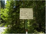 2
2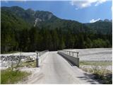 3
3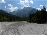 4
4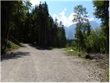 5
5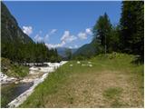 6
6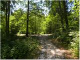 7
7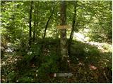 8
8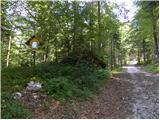 9
9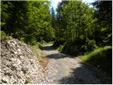 10
10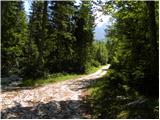 11
11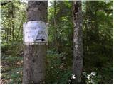 12
12 13
13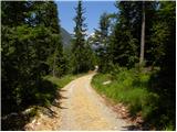 14
14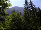 15
15 16
16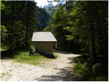 17
17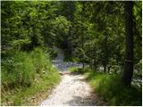 18
18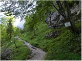 19
19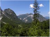 20
20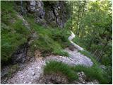 21
21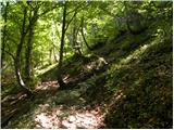 22
22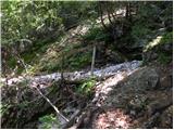 23
23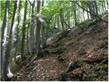 24
24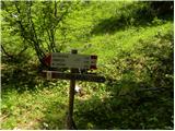 25
25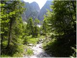 26
26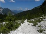 27
27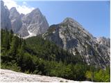 28
28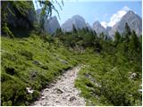 29
29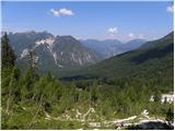 30
30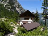 31
31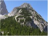 32
32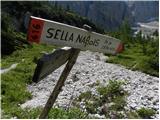 33
33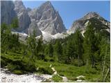 34
34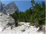 35
35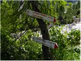 36
36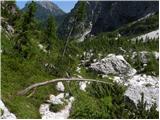 37
37 38
38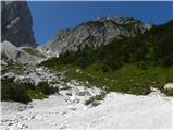 39
39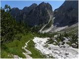 40
40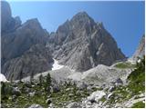 41
41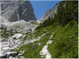 42
42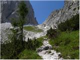 43
43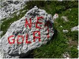 44
44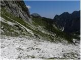 45
45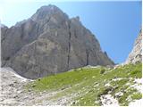 46
46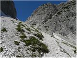 47
47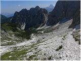 48
48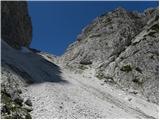 49
49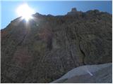 50
50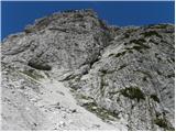 51
51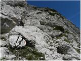 52
52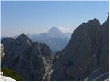 53
53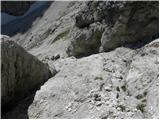 54
54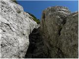 55
55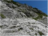 56
56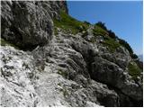 57
57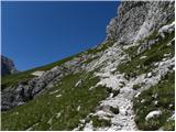 58
58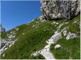 59
59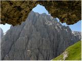 60
60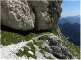 61
61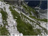 62
62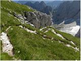 63
63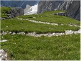 64
64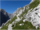 65
65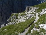 66
66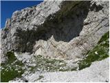 67
67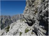 68
68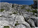 69
69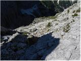 70
70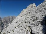 71
71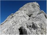 72
72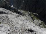 73
73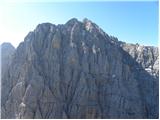 74
74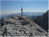 75
75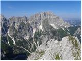 76
76
Discussion about the trail Zajzera - Monte Nabois grande
|
| falcon14. 03. 2011 |
Krasna poletna tura, v začetnem delu, od parkirišča do tovorne žičnice,  sicer nekoliko razvlečena. Od tu naprej pa čisti užitek. Do koče Pellarini (kuhajo odličen kapučin), pa pod ostenjem Viša, kjer sem še vedno srečal čredo gamsov, skoro do sedla, potem na "stopničke" in na koncu bolj zahtevno do vrha.  Na povratku mi je bila vedno odveč dolinska pot od žičnice do parkirišča. Krasna tura, veličastni razgledi, vredno truda. 
|
|
|
|
| Jure S.7. 08. 2012 |
Kompleta za samovarovanje se po mojem mnenju ne splača nositi, ker je samo na vrhu par zajl, sicer pa nič. Meni je bilo žal, da sem ga imel s seboj.
|
|
|
|
| gorskarozica13. 08. 2012 |
Lepa pot, primerna za sestop, da je tura bolj pestra. Priporočam vzpon po grebenski poti. 
|
|
|
|
| valerija1123. 08. 2013 |
Danes v prijetni družbi prehodili to turo.Do koče prav prijetno po senčki,v koči pa res dober kapučin.
Naprej sta nadmorska višina in rahel vetrič poskrbela,da nam vročina ni delala hudih težav.
Tako je za nami še en nepozaben izlet.Priporočam vam,da se odpravite v te konce. Lep pozdrav
|
|
|
|
| gorski svizec21. 07. 2016 |
Zanima me če so kakšne posebnosti na poti na goro?
|
|
|
|
| malimiha21. 07. 2016 |
Ni posebnosti. Prehodil 14 dni nazaj. Lp
|
|
|
|
| VanSims2. 07. 2017 |
Pot bi lahko bila komot samo 'zahtevna'. Tista strmina na začetku je močno olajšana z vbitimi stopnicami. Zajle pred vrhom so sicer izpostavljene a razen tega, da se je treba mestoma malo močneje potegniti po njih, tudi ni sile.
Koča Pellarini pa je to sezono zaprta ker - ne najdejo oskrbnika...
|
|
|
|
| bbugari114. 07. 2022 23:12:15 |
Na pobudo ločanke za vikend opravim tridnevni sprehod okoli Zajzere. Prvi dan: Ovčja vas-Pl. Ravna (kapela Zita)-Poldašnja špica-Rudni vrh-koča Grego-Krniška glavica-bivak Stuparich-bivak Mazzeni. Drugi dan: bivak Mazzeni-V. Nabojs-koča Pellarini-Žabniška škrbina-bivak Carnizza. Tretji dan: bivak Carnizza-sedlo Prašnik-Kamniti lovec-cesta-Ovčja vas.
Koče so bile čiste in prazne, bivak Stuparich urejen, bivak Mazzeni hmmmmmmmm, bivak Carnizza kot hotel...
Smerokazi vseposvod uničeni, poti dobro označene, varovala nova in OK, ampak so žal nezavarovani težji sprehod po grapi navzgor proti Poldašnji špici in tudi en kratki sitni sprehod od Stuparicha navzdol.
Nekateri smerokazi so res nenavadni: stari smerokaz pri koči Grego (bivak Mazzeni 3 ure!?!), stari smerokaz pri koči Pellarini (bivak Stuparich 5 ur!?!) in novi smerokaz na sedlu Prašnik (Kamniti lovec 3,45 h!?!?!?).
Pod bivakom Mazzeni je še označena pot proti Škrbini prednje špranje, a ni ta zaprta (na novih italijanskih kartah ni več označena zaradi nevarnega zemaljskega plaza)?
Zajzera, oziroma Špranja res čudovita, krasna pokrajina!!!
Steza od Stuparicha proti Mazzeniju divja in zaraščena, pa tudi dobro označena in sledljiva.
Na vzponu od Pellarinija proti Žabniški škrbini del poti je nadelan (in tudi zavarovan) nanovo zaradi zemaljskega plaza.
Odcep na pot št. 615 pod Lastovicami ni označen!
|
|
|
|
| MPS17. 02. 2023 10:28:48 |
Oktobra sem opravil vzpon na Veliki Nabojs tej poti. Napisal bi, da je v spodnjem delu možno iti tudi po drugačni in zanimivi poti, ki gre skozi gozd. Pot je markirana z rdečimi pikami in dobro sledlijva. Na zgoraj opisano pot se priključi prb. 100 m pred kočo. Posnel sem tudi kratek film s pohoda, ki si ga lahko ogledate na povezavi: Veliki Nabojs, 2313 m Upam, da bo komu v pomoč pri predstavi o sami poti. Varen korak, Mirko
|
|
|