Zajzera - Svete Višarje / Monte Lussari (by road)
Starting point: Zajzera (897 m)
Name of path: by road
Time of walking: 3 h
Difficulty: easy marked way
Altitude difference: 869 m
Altitude difference po putu: 869 m
Map: Julijske Alpe - zahodni del 1:50.000
Recommended equipment (summer):
Recommended equipment (winter): ice axe, crampons
Views: 59.057
 | 2 people like this post |
Access to the starting point:
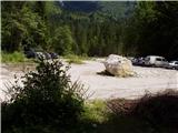
From Kranjska Gora, drive through the Rateče border crossing to Trbiž / Tarvisio. Continue along the old road towards Udine. After a few kilometres from Trbiz / Tarvisio, the road to Ovčje vas / Valbruna turns off to the left. At Sheep's Village / Valbruna turn left and follow the road up the Zajzere valley. After a few kilometres you will reach a crossroads at a small bridge over the road. Turn left here towards Sveti Višari / Monte Lussari and follow the road for a few dozen metres to a large parking lot, where you park.
Path description:
From the parking lot, continue along the road, which takes you a few steps to a crossroads where you turn left in the direction of Monte Lussari. The road then descends gently to a bridge over the river, where you have a beautiful view of the northern walls of the western Julian Mountains.
On the other side, the road passes a drinking water trough and then begins to climb. The road, which is closed to traffic, then climbs mostly through the forest, and only rarely do we get a good view. After an hour and a half of walking, the forest becomes a little thinner, so that we get some nice views. The road occasionally crosses a picturesque area and an old military tunnel. Later, the road leads to a crossroads at a chapel.
Continue along the left-hand road, which after 15 minutes leads to the hamlet of Sveti Višarja.
Pictures:
 1
1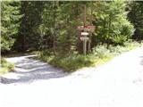 2
2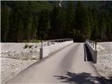 3
3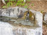 4
4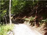 5
5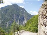 6
6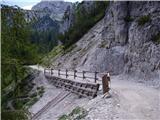 7
7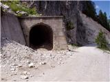 8
8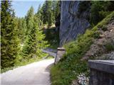 9
9 10
10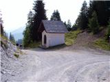 11
11 12
12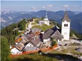 13
13
Discussion about the trail Zajzera - Svete Višarje / Monte Lussari (by road)
|
| Guest31. 12. 2007 |
ja supr... jutr nej bi šli mi ke gor smučat ampak kje so pa kakšne zimsko idilične slike??!?? 
|
|
|
|
| rantlo9. 07. 2012 |
Tega parkirišča žal nisem našel, ali lahko kdo sporoči koordinate, hvala.
|
|
|
|
| stankos10. 07. 2012 |
46 28 06,33
13 29 31,75
lp
|
|
|
|
| ZoranV28. 07. 2014 |
Eh, linka sta narobe, prvi je z vrha, drugi pa s poti  Tu ne morem popraviti več...
|
|
|