Starting point: Zaklanec (345 m)
| Lat/Lon: | 46,02367°N 14,31492°E |
| |
Time of walking: 1 h 15 min
Difficulty: easy marked way
Altitude difference: 384 m
Altitude difference po putu: 405 m
Map: Ljubljana - okolica 1:50.000
Recommended equipment (summer):
Recommended equipment (winter): ice axe, crampons
Views: 471
 | 2 people like this post |
Access to the starting point:
a) Leave the Primorska motorway at the Brezovica exit, then follow the signs for Dobrova, from where you continue towards Horjul from the roundabout. When you reach the settlement Zaklanec, the route described above starts at the junction for Polhov Gradec. There are no suitable parking places at the starting point.
b) Take the Vrhnika, then follow the signs for Horjul. At Horjul turn right towards Dobrova, and we drive to Zaklanec, where the described route starts at the junction for Polhov Gradec. There are no suitable parking places at the starting point.
Path description:
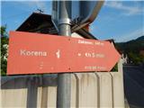
From the crossroads, take the side road with road signs for Polhov Gradec and mountain signs for Koreno. At first, you will pass a few houses in the village of Zaklanec. The settlement ends quickly and the road leads into the forest, where it turns sharp right. At this bend, leave the road and continue to the left, where the markings direct you. The nearby water tower is bypassed on the left and the path then climbs through the forest. After a few minutes of climbing on a slightly overgrown path, you reach an asphalt road, which continues the ascent to the nearby hamlet.
When you reach the farm, bear right in front of the buildings onto cart track, which immediately forks. Continue along the left-hand cart track, which bypasses the farm buildings on the upper side and ascends cross-country to the left. Climb along the edge of the forest for a few minutes, then the path turns right and enters the lane of the forest. When we leave the forest, the path disappears and we continue straight ahead through the hay fields, and when we reach the lane of the forest, we see markings pointing us slightly to the left, so that we continue our ascent up along the edge of the forest. A little higher up, you reach the overgrown marked cart track, which runs slightly more to the right than the unmarked overgrown track. A little further on, we get a nice view of the surrounding hills, and we merge with the steep path from the Prosec Pass a little higher up.
Go left here and past the trestle you reach part of the settlement Koreno above Horjul. In the middle of the hamlet, less visible markings direct us left onto a side road, where we pass a few houses and then climb crosswise to the right. The way ahead leads us along the slopes of the 747 m high peak, and when we reach the northern slopes of the said peak, we quickly descend to the asphalt road, where we merge with the low path from the Prosca prevala.
Continue straight ahead and within a few minutes of further walking you will reach another hamlet where you will join up with a few other paths.
From here it is just a short climb along a narrow asphalt road to reach the Church of Sts.
However, you are not allowed to climb the nearby grassy peak, where a large cross once stood, due to private property.
Description and figures refer to the situation in May 2022.

Pictures:
 1
1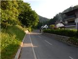 2
2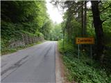 3
3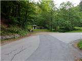 4
4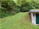 5
5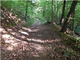 6
6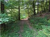 7
7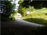 8
8 9
9 10
10 11
11 12
12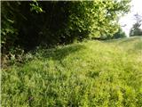 13
13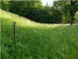 14
14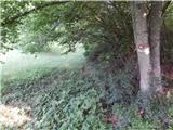 15
15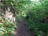 16
16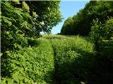 17
17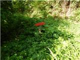 18
18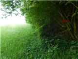 19
19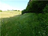 20
20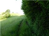 21
21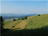 22
22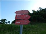 23
23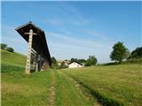 24
24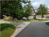 25
25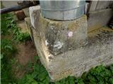 26
26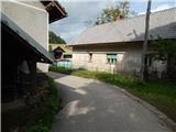 27
27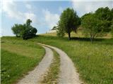 28
28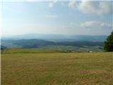 29
29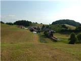 30
30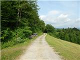 31
31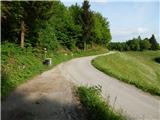 32
32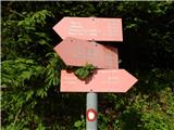 33
33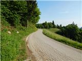 34
34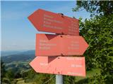 35
35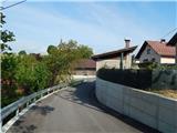 36
36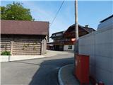 37
37 38
38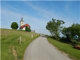 39
39 40
40 41
41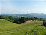 42
42
Discussion about the trail Zaklanec - Koreno