Zali Log - Krekova koča na Ratitovcu
Starting point: Zali Log (522 m)
| Lat/Lon: | 46,2068°N 14,1029°E |
| |
Time of walking: 3 h
Difficulty: easy marked way
Altitude difference: 1120 m
Altitude difference po putu: 1140 m
Map: Škofjeloško in Cerkljansko hribovje 1:50.000
Recommended equipment (summer):
Recommended equipment (winter): ice axe, crampons
Views: 10.903
 | 1 person likes this post |
Access to the starting point:
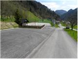
First, drive to Škofja Loka, then continue to Železniki and on to Zale Log. Immediately after the Zali Log sign, turn right and park at the sports ground of the Senca Zali Log sports association.
Path description:
From the parking lot at the sports ground, continue along the road, which leads past the National Defence Monument and St Mary's Church to the Pruharca stream, which we then climb along. Higher up, the road ends and the marked path turns right uphill, where it begins to climb over a grassy slope with a view. The beautifully maintained path then passes into the forest, which initially leads us past old military bunkers. The relatively steep path crosses a wide cart track at a higher level and then continues to climb steeply through the forest. A well-maintained path, with a wooden sign every 100 metres, leads higher up to Žagarjev hlev in Groblje, where there is a registration box.
Above Žagar's stables, the path passes onto an undistinguished ridge, which, after a few minutes, gives way to the right, where it climbs a little more steeply for a short time. When the ridge is climbed again, the path gradually becomes a wide cart track, which gives way to a ridge on the axis slopes. Next the path leads us to a small pass, where we also step onto a dirt road. Follow the road to the right and it leads you past a quarry and through the lane of a forest to a crossroads at the Po(v)den saddle.
At the saddle, continue straight on (left Torka, right Prtovč) towards Ratitovec, following the initially gently sloping path, which climbs through lane raspberry groves, then passes into the forest, where it begins to climb steeply. The path is higher and leads to a less good forest road, which is followed for only a few 10 m, and then signs direct us to the right on an increasingly steep footpath. The path soon leaves the forest and leads to steep grassy slopes (high risk of slipping and avalanche in the snow), which we climb to the right. Higher up, the path leads past rock columns to the main ridge, where it turns sharply to the left and lays completely flat. An easy and pleasant path follows, and in 10 minutes of further walking, along an increasingly scenic slope, we climb to the Krek hut at Ratitovec.

Pictures:
 1
1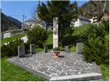 2
2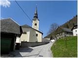 3
3 4
4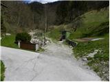 5
5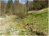 6
6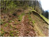 7
7 8
8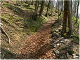 9
9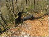 10
10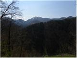 11
11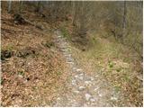 12
12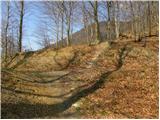 13
13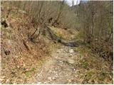 14
14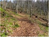 15
15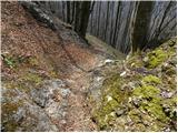 16
16 17
17 18
18 19
19 20
20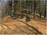 21
21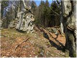 22
22 23
23 24
24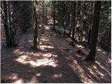 25
25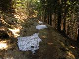 26
26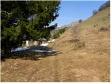 27
27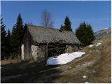 28
28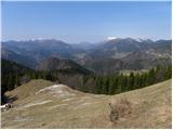 29
29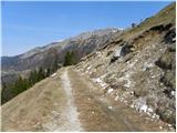 30
30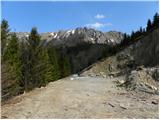 31
31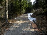 32
32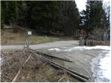 33
33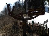 34
34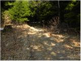 35
35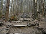 36
36 37
37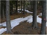 38
38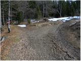 39
39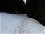 40
40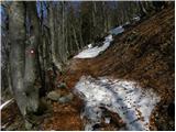 41
41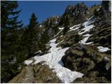 42
42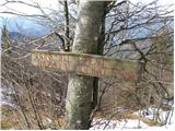 43
43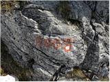 44
44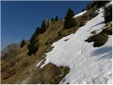 45
45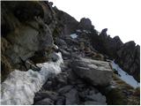 46
46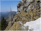 47
47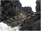 48
48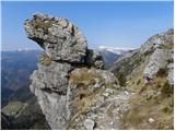 49
49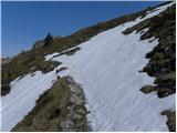 50
50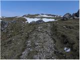 51
51 52
52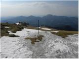 53
53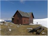 54
54
Discussion about the trail Zali Log - Krekova koča na Ratitovcu
|
| GregorD15. 02. 2020 |
Danes prehodil opisano pot. Prvih 700 višincev je precej strmih s par krajšimi ravninskimi odseki.
Do Povdna pot ni preveč obljudena, sem srečal le tri planince.
|
|
|