Zalog - Polhograjska Gora (Sveti Lovrenc) (gentle path)
Starting point: Zalog (448 m)
| Lat/Lon: | 46,0664°N 14,2778°E |
| |
Name of path: gentle path
Time of walking: 1 h 30 min
Difficulty: easy marked way
Altitude difference: 376 m
Altitude difference po putu: 400 m
Map: Ljubljana - okolica 1:50.000
Recommended equipment (summer):
Recommended equipment (winter): crampons
Views: 5.107
 | 1 person likes this post |
Access to the starting point:
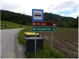
From the motorway Ljubljana - Koper take the exit Brezovica, then continue in the direction of Dobrova (Dobrova can also be reached from the direction of Šentvid via Podutik and the Preval Pass) and Polh Gradec. In Polhovo Gradec, at the bus stop, turn right towards Črnji Vrh. The road then climbs steeply and then flattens out, leading through the castle courtyard. The road, which is quite slippery, then leads us through the Velika Božna valley, and we follow it to the hamlet of Zalog, where we see signs for Sv. Jurij and Polhograjska Gora, which direct us to the left. At this junction our route begins, but as there are no parking spaces here we have to park a little lower down in one of the suitable places along the road.
Path description:
From the starting point, i. e. from the crossroads, where you can see the signs for the church of St. George and Polhograjska Gora, focus on the side road (at the crossroads there are also signs for the village of Praproče), which first leads us past a few houses, and then begins to climb moderately. Initially, we also have a nice view towards our destination, but then the view is more limited to the west and north, where we can see the church of St. Lenart above Črni Vrh. In parts, the quite scenic road leads us higher into the village of Praproče, and just a few metres before the triangular crossroads, at which there are numerous mountain direction signs, we take a sharp left onto the cart track, which starts before the first house in the village (the start of the trail is not marked, and there are very few or almost no markings further on).
The track initially passes through a meadow, then turns into a forest through which it climbs gently and descends occasionally. Higher up, cart track becomes steeper and passes to the north side of Praproš Hill (709 m). A few minutes of moderate ascent follow, then you reach the pass between the aforementioned peak on the right and Polhograjska Gora (824 m) on the left.
At the pass, we join the trail from Praproč or Briš, and a few steps further we reach the ramp.
Continue in the direction of St. Lovrenc (left up St. Lovrenc "difficult path") on the road over which there is a lock. The road then starts to climb steeply and after a few minutes of further walking leads us to a large rocky peak (especially after rain or at the end of winter there is a danger of falling rocks). Here the road briefly lays down and then passes into the forest where it starts to climb steeply. The steepness subsides at Logar, where the road ends. Here we get a nice view towards the Karawanks part, and we continue slightly to the left and continue the climb past the chapel on the path that goes into the forest. There is a moderate climb through the forest and the path leads us to a ridge with a beautiful view to the west. Here, continue left and after a few steps of further walking, you will reach the top of Polhograjska Gora.

Pictures:
 1
1 2
2 3
3 4
4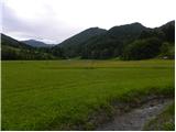 5
5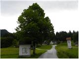 6
6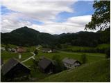 7
7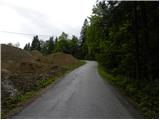 8
8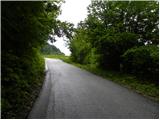 9
9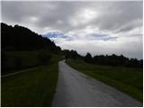 10
10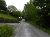 11
11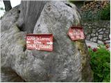 12
12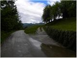 13
13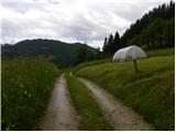 14
14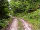 15
15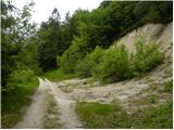 16
16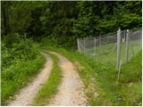 17
17 18
18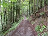 19
19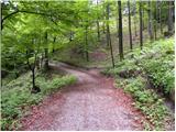 20
20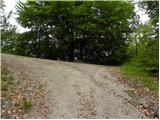 21
21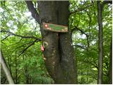 22
22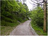 23
23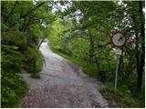 24
24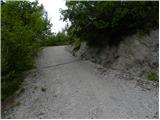 25
25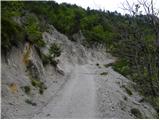 26
26 27
27 28
28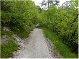 29
29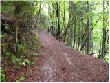 30
30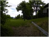 31
31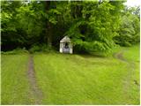 32
32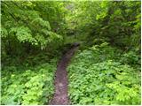 33
33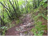 34
34 35
35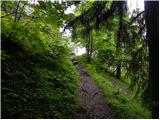 36
36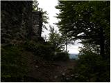 37
37 38
38 39
39 40
40
Discussion about the trail Zalog - Polhograjska Gora (Sveti Lovrenc) (gentle path)