Starting point: Zalog (600 m)
| Lat/Lon: | 46,3281°N 14,363°E |
| |
Time of walking: 3 h
Difficulty: easy marked way
Altitude difference: 1115 m
Altitude difference po putu: 1115 m
Map: Karavanke - osrednji del 1:50.000
Recommended equipment (summer): helmet
Recommended equipment (winter): helmet, ice axe, crampons
Views: 10.630
 | 1 person likes this post |
Access to the starting point:
From the motorway Ljubljana - Jesenice take the exit Kranj West and follow the road towards Golnik. Shortly after the village Tenetiše, you will see signs for the village of Goriče, which will direct you to the right on the local road. Just a little further on, you will come to the next crossroads, where you will continue to the right in the direction of the village Trstenik and Preddvor. We do not follow this road for long either, because after a few metres we will notice a sign with the inscription Zalog, which directs us to the left on the ascending road, which we then follow to the mentioned village. In the middle of the village, a little before the church, you will notice a road that turns right from the main road. Follow this road and you will soon see signs along it. Follow this road for about 1km and then park in one of the parking places along the road.
Path description:
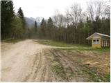
From the starting point we continue along the road along which we parked, but it is getting worse and it leads us higher to the NOB monument, where we leave it and continue the climb right along the climbing cart track. At the point where the cart track, which we continue to climb, turns left, we will see a path on the right which starts to climb steeply through the forest (the start is not marked).
The path, along which you will notice rare markings, then leads past a small chapel to a less well-marked crossroads, at which you will notice a pleasant bench on a lookout.
Continue slightly left in the route Mala Poljana (the direction sign is slightly further from the crossroads) along the path which, after a few further steps, leads us into a woded valley. The path, which is less and less visible, continues to climb up the valley, which becomes narrower and narrower and gradually turns into a ravine. The ascent continues along a barely visible path which climbs between two steep slopes. The path, which is mainly covered with foliage and is exposed to falling rocks in parts, leads us higher up to the initially quite rugged cart track, which takes us out of the forest in a few minutes to the lower part of Mala Poljana. Cart track after which we continue our ascent, and after a few minutes' further walking leads us to the hunting hut at Mali Poljana.
From Mala Poljana, from where we join the paths with Velika Poljana and home below Storžič, continue left in the direction of Tolsti vrh, following the path which climbs transversely to the western edge of mountain pasture. Higher up, the trail enters the forest, where, with the exception of a few small clearings, it continues until it reaches the ridge where it joins the trail from the Forest.
Continue right along the ascending path, which leads us through a sparse, mostly spruce forest to the top uncultivated slope of Tolstego vrh. Follow this increasingly scenic route, which climbs relatively steeply along the southern ridge, all the way to the top of this scenic mountain.
Zalog - Mala Poljana 2:00, Mala Poljana - Tolsti vrh 1:00.

Pictures:
 1
1 2
2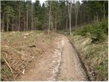 3
3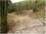 4
4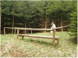 5
5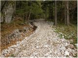 6
6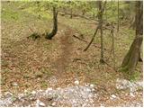 7
7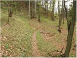 8
8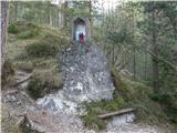 9
9 10
10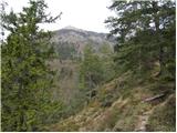 11
11 12
12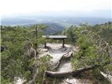 13
13 14
14 15
15 16
16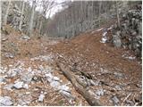 17
17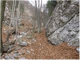 18
18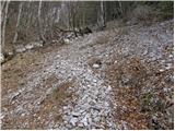 19
19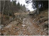 20
20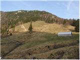 21
21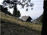 22
22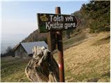 23
23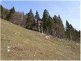 24
24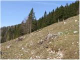 25
25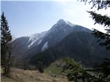 26
26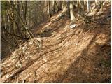 27
27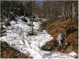 28
28 29
29 30
30 31
31 32
32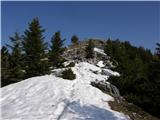 33
33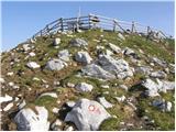 34
34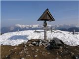 35
35
Discussion about the trail Zalog - Tolsti vrh
|
| gj23. 11. 2010 |
TOLSTI VRH ZUTRAJ LEPO SONČNO VREME, TAM OKROG 10 PA SE JE ZAČELO OBLAČITI. NA POTI JESENSKE RAZMERE, RAZEN ZADNJIH 5 MINUT PA JE 5CM POMRZNJENEGA SNEGA, KATERI SE PREDIRA.
|
|
|
|
| free24. 11. 2010 |
Pohvale pd Križe- od mojega zadnjega obiska so pot vzorno označili, tako da tudi zgornji opis ne drži več (tam kjer piše, da je neoznačen začetek). Bravo Franci  ! Danes je bil Tolsti vrh dobra izbira. Še mokro ni bilo preveč. Da se naredit tudi krožno preko Gozda, na koncu z malo domišljije ni treba nazaj po cesti.
|
|
|
|
| gj6. 11. 2012 |
Danes na poti brez posebnosti, le malo pocukrano.
|
|
|
|
| PV22. 04. 2013 |
Je kdo kej hodu zadnje dni po tej poti? Zanima me predvsem kako je do Male Poljane?
|
|
|
|
| Daaam22. 04. 2013 |
Glede na to da je pot na Kriško skoraj kopna..prav tako do Kališča (preverjeno) verjetno tudi do Male Poljane ne more bit bistveno drugače.. Ne upam pa trdit 
|
|
|