Zaplana (Prezid) - Ulovka
Starting point: Zaplana (Prezid) (549 m)
| Lat/Lon: | 45,9512°N 14,2161°E |
| |
Time of walking: 1 h 45 min
Difficulty: easy marked way
Altitude difference: 252 m
Altitude difference po putu: 335 m
Map:
Recommended equipment (summer):
Recommended equipment (winter):
Views: 6.410
 | 1 person likes this post |
Access to the starting point:
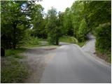
a) Leave the Ljubljana - Koper motorway at the Vrhnika exit and continue along the old road towards Logatec. At the end of the Vrhniški klanč hill, turn right towards Zaplana, and when you reach Zaplana, turn left at the crossroads in the direction of Rovt (slightly right Zaplana Church of St. Urha and St. Martin, Ulovka and the Shelter at Mountain pasture above Vrhnika). Zaplana Church of St. Urha and St. Martin, Ulovka and the Shelter at Mountain pasture above Vrhnika). At the end of the hamlet Prezid on Zaplana, you will see a small parking lot on the left, where you park.
b) From the motorway Ljubljana - Koper take the exit Logatec and continue driving to Logatec. From the roundabout, where you reach the old road Vrhnika - Postojna, turn right (direction Vrhnika) and continue along the old road towards Vrhnika, and we drive along it for only a few 100 m, and then turn left onto the road in the direction of Rovt and Žirov. Continue along the gradually winding road, and we drive along it to the junction, where the road to Zaplana branches off to the right. From the point where you leave the main road towards Žire, drive for a little less than 2 km and you will reach a signpost marking the beginning of the hamlet Zaplana - Prezid. Park in the small parking lot in front of the sign.
c) First drive to Škofja Loka, then continue to Gorenje village and Žire. From Žiri, continue along a slightly more winding road towards Rovty and Logatec. Before Logatec, you will reach a crossroads where the road to Zaplana branches off to the left. From the point where you leave the main road towards Žire, drive for a little less than 2 km and you will reach a signpost marking the beginning of the hamlet Zaplana - Prezid. Park in the small parking lot in front of the sign.
Path description:
From the starting point, follow the narrow asphalt road as it climbs towards three houses. Just after the first house, leave the road as the signs direct you to the right on a marked path, which initially follows the old logging trail route. The path has a few forks in it, but if you follow the signs carefully, there are no major problems with orientation. A little further on, you arrive at a meadow, where the path completely disappears. Continue in roughly the same direction and then, on the other side of the meadow, you will come to a wide cart track. There is a short descent and then cart track splits in two. Continue left and after a few metres right and then left again (follow the signs), continuing in the same direction as before. Only a few 10 steps further on, the forest ends and we continue along the path that continues along the edge of the forest. The path then climbs steeply and then moderately, with beautiful views of the surrounding hills and Logatec. After a few minutes, the path completely flattens out and leads to an old Italian bunker from the time of the Rapallo border. At the bunker, the path disappears again and we continue straight up across the meadow. When we reach the edge of the forest, we find a large marking indicating the continuation of the marked path. We climb alongside a pasture fence for a short distance, then cross over to an undistinguished ridge, where we cross a more beaten track. Continue along a slightly more overgrown but traceable track which climbs to a road by a secluded house. Go around the house on the right and pass a garage to reach an asphalt road.
Follow the road to the right, and we follow it down to a small crossroads, where we continue straight on to a footpath (the path to the left leads to the Majer homestead, and the path to the right leads in a few steps down to the road leading from Zaplana (Jerinov Hill) to the church on Zaplana and the tower on Mountain pasture above Vrhnika, the latter road being joined higher up), which climbs to the ridge of Križe hill (Križev hill). The path soon becomes level and then, after the summit of Cross Hill, descends to an asphalt road leading to the church at Zaplana, Ulovka and the tower at Mountain pasture above Vrhnika. Follow the road past the chapel to a small crossroads where the road splits in two. Continue on the right road (slightly left St. Urho and Martin Church (5 minutes)), which soon leads to a marked crossroads, where the path from the aforementioned church joins us on the left, and the path to Lintvern branches off to the right.
Continue straight ahead on the macadam road, which continues for some time without any major changes in elevation, and then gradually begins to descend. Just a few steps before you reach a marked crossroads where the road branches off to the right towards the tower at the Shelter at Mountain pasture above Vrhnika, take a sharp left onto the marked footpath towards the top of Ulovka (there is a signpost at the point where you leave the road).
Continue through the forest on a moderately steep path, which in less than 15 minutes of further walking will take you out of the forest to the top of Ulovka, where you will have a beautiful view.
Description and pictures refer to May 2013.

Pictures:
 1
1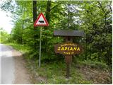 2
2 3
3 4
4 5
5 6
6 7
7 8
8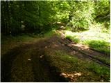 9
9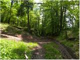 10
10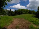 11
11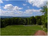 12
12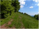 13
13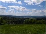 14
14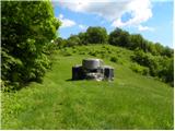 15
15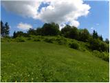 16
16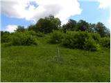 17
17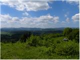 18
18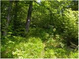 19
19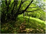 20
20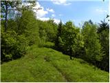 21
21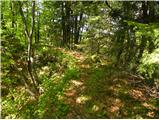 22
22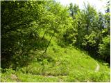 23
23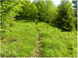 24
24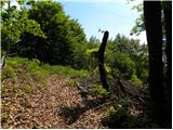 25
25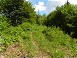 26
26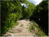 27
27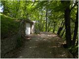 28
28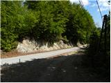 29
29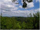 30
30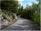 31
31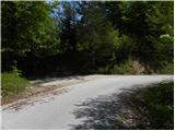 32
32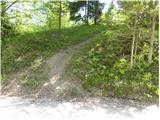 33
33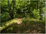 34
34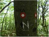 35
35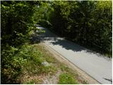 36
36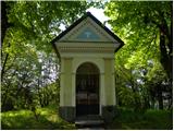 37
37 38
38 39
39 40
40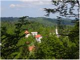 41
41 42
42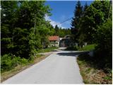 43
43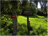 44
44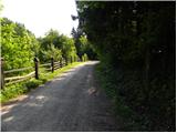 45
45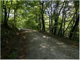 46
46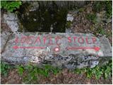 47
47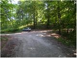 48
48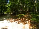 49
49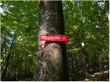 50
50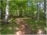 51
51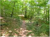 52
52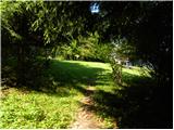 53
53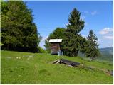 54
54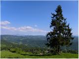 55
55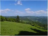 56
56
Discussion about the trail Zaplana (Prezid) - Ulovka