Zavetišče na planini Šija - Kofce gora (Kačja pot)
Starting point: Zavetišče na planini Šija (1528 m)
| Lat/Lon: | 46,4248°N 14,3354°E |
| |
Name of path: Kačja pot
Time of walking: 1 h 15 min
Difficulty: easy unmarked way, partly demanding marked way
Altitude difference: 439 m
Altitude difference po putu: 439 m
Map: Karavanke - osrednji del 1:50.000
Recommended equipment (summer):
Recommended equipment (winter): ice axe, crampons
Views: 26.668
 | 2 people like this post |
Access to the starting point:
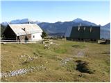
From the Ljubljana - Jesenice motorway, take the Ljubelj exit. Continue into the centre of Tržič and follow the road through Dolžanovo gorge to the village Jelendol, where the signs for mountain pasture Kofce, Šija and Pungrat direct you to the left. The road then loses its asphalt surface and starts to climb steeply. Follow this road in the route mountain pasture Pungrat and Šija at the junctions. Park in the parking lot near the shelter at mountain pasture Šija.
Path description:
Slightly north of the shelter, you can see a wooden mountain sign with the inscription "snake trail to the front ridge" (the mountain trail is found slightly to the right of the route indicated by the sign). The trail continues on, crossing a grazing fence and leading out of the forest to a small scree slope. After this scree slope, the path crosses a short lane of spruce forest and then leads us to the avalanche slopes, where the path turns slightly to the left. Next, in a gentle ascent, cross a grassy slope, a lane of dwarf pines and a larger scree slope, after which you come to a lane of scrub (rushes and individual trees). Here the path starts to climb steeply and quickly leads you under rocky cliffs. Cross a narrow passage (watch your head) and the steep path then leads to a place where you join the marked path coming from the house at Kofce.
Continue right up the path, which climbs steeply and quickly leads to an exposed passage. Without fixed safety gear, cross a short, but crumbly and slightly exposed ledge after which you enter lane of dwarf pines. The way ahead climbs over a short lane of dwarf pines and then continues along the side ridge of Košuta. The increasingly scenic and rather steep path joins the ridge path higher up.
Continue straight up the unmarked path, which after 10 steps leads to the summit (Veliki vrh on the left, Kladivo on the right).

Pictures:
 1
1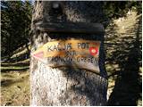 2
2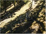 3
3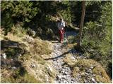 4
4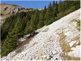 5
5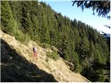 6
6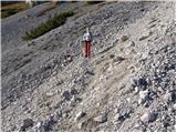 7
7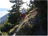 8
8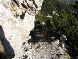 9
9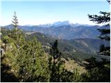 10
10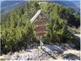 11
11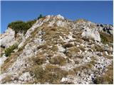 12
12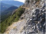 13
13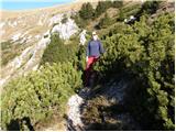 14
14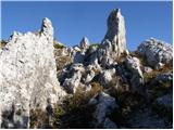 15
15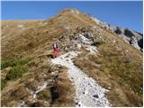 16
16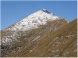 17
17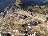 18
18 19
19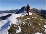 20
20
Discussion about the trail Zavetišče na planini Šija - Kofce gora (Kačja pot)
|
| lazicku18. 08. 2009 |
Zanima me, kakšna je cesta do zavetišča oz. ali bom imel kake probleme z "navadnim" osebnim vozilom? Hvala in lp
|
|
|
|
| rrakus19. 08. 2009 |
Pozdravljeni, jaz sem bil na planini Šija z avtom 1. avgusta in je šlo v bistvu brez problema, vendar je treba na nekaterih mestih paziti, da ne nasedeš, pač moraš voziti bolj počasi, s kakšnim terencem gre hitreje.Bil sem z lantro, ki ima malo nižje podvozje, tako da tudi z ostalimi vozili nebi smelo biti problemov. lp 
|
|
|
|
| Lunca8. 05. 2011 |
Jaz sem šla v teh dneh do Šije s svojim avtom... cesta je katastrofalna, že dolgo let ne tako, tovornjaki so naredili svoje... Nič še ni popravljeno, verjetno po načelu, v hribe peš, ne z avtom. Brez terenca ne priporočam vožnje. Ampak razgled iz Kofce gore odtehta tistih nekaj živcov, kateri gredo na poti do Šije.
|
|
|