Zavrh pri Trojanah - Golčaj
Starting point: Zavrh pri Trojanah (609 m)
| Lat/Lon: | 46,1838°N 14,8718°E |
| |
Time of walking: 2 h 30 min
Difficulty: easy marked way
Altitude difference: 81 m
Altitude difference po putu: 350 m
Map: Posavsko hribovje - zahodni del 1:50.000
Recommended equipment (summer):
Recommended equipment (winter): ice axe, crampons
Views: 5.408
 | 1 person likes this post |
Access to the starting point:
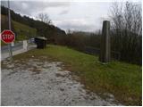
a) From the motorway Ljubljana - Maribor, take the exit Blagovica, then continue along the parallel old road to Trojaneam. Before you reach Trojane, the signs for Zavrh pri Trojanah direct you to the right onto a narrower local road, along which you will see the mountain signs for Doline and Stolp na Rebri. You can park close to the crossroads, at the nearby monument, or you can drive a little higher and then park in a suitable space on the roadside.
b) From the motorway Maribor - Ljubljana, take the exit Trojane and then continue along the parallel old road towards Domžale. At the end of Trojany, in the middle of a right turn, the signs for Zavrh pri Trojanah direct us left onto a narrower local road, along which we see the mountain signs for Doline and Stolp na Rebri. You can park close to the crossroads, at the nearby monument, or you can drive a little higher and park in a suitable space on the roadside.
Path description:
From the starting point, continue along the narrower asphalt road, which soon opens up to a beautiful view of Trojane. Higher up, the asphalt ends, and we continue along the macadam road towards Rebra, Doliny and Golčaj. Just a little further on, the road turns to the right and passes into a forest, through which it starts to climb steeply. After a good 10 minutes of further walking, the road is laid and leads to a crossroads, at which there is a small sign.
Here, continue slightly left (slightly right Doline) and follow the moderately ascending road, which quickly leads to the next crossroads at a larger quarry.
Here continue right in the route Golčaj (sharp left Reber, left Kolovrat) and follow the road as it begins to descend moderately. During the descent, a path joins us from the right past the Dolinar (Doline) farm, and we follow the road to a small house, at which we turn left up the cross-climbing cart track. After a few minutes, Cart track leads us to a small saddle, where we continue to the right. After a few minutes of crossing, cart track turns into a footpath which quickly leads to the ridge of Na škalah. The ridge is reached just at a small saddle, where you cross over to the left south side of the ridge. Once on the south side of the ridge, the path gradually starts to descend crosswise. After 15 minutes of moderate descent, the trail leads out of the forest and onto a scenic and relatively picturesque slope. The descent continues over scree and several small ravines to the forest, through which you quickly descend to the nearby macadam road.
Once on the road, follow it to the right and we walk along it to the village Borje near Mlinše. Here, at the crossroads by the chapel, continue right and then pass the church and walk above the village. Walk along the road for a few minutes, and then the signs for Golčaj direct you slightly left onto a footpath which climbs gently at first and then descends gently to another, initially asphalted, road. The tarmac soon ends, and after a few minutes of climbing, the road begins to descend gently. A little further on, we arrive at a small crossroads, where we continue slightly to the right along a marked road, which quickly leads us to the Church of St Neže on Golčaj.
From the church, continue in the direction of the Golčaj peak and climb the slightly steeper path to Golčaj, where the registration box and the NOB monument are located, within a two-minute walk.

Pictures:
 1
1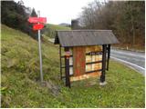 2
2 3
3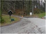 4
4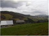 5
5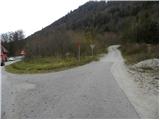 6
6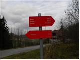 7
7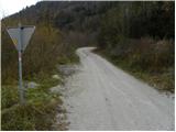 8
8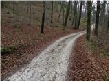 9
9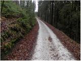 10
10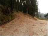 11
11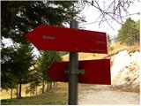 12
12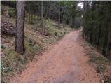 13
13 14
14 15
15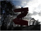 16
16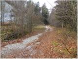 17
17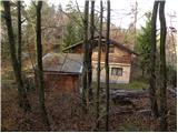 18
18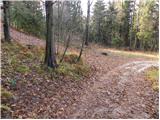 19
19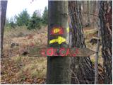 20
20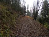 21
21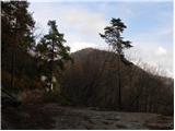 22
22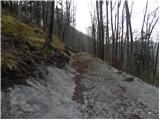 23
23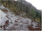 24
24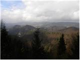 25
25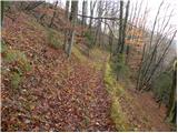 26
26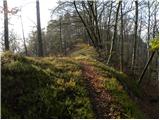 27
27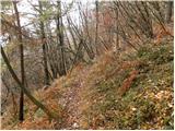 28
28 29
29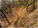 30
30 31
31 32
32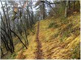 33
33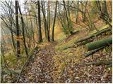 34
34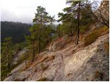 35
35 36
36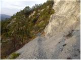 37
37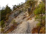 38
38 39
39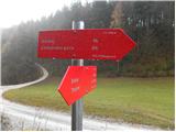 40
40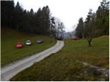 41
41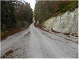 42
42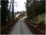 43
43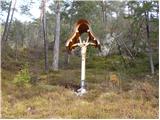 44
44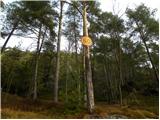 45
45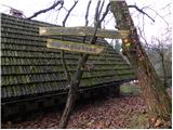 46
46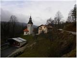 47
47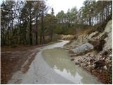 48
48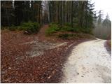 49
49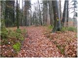 50
50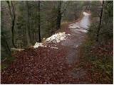 51
51 52
52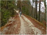 53
53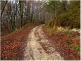 54
54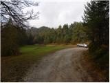 55
55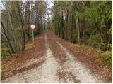 56
56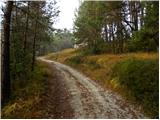 57
57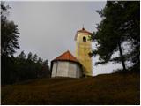 58
58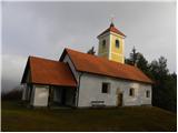 59
59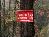 60
60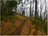 61
61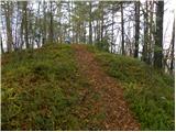 62
62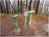 63
63
Discussion about the trail Zavrh pri Trojanah - Golčaj