Starting point: Železniki (458 m)
| Lat/Lon: | 46,2205°N 14,1555°E |
| |
Time of walking: 1 h 50 min
Difficulty: partly demanding marked way
Altitude difference: 553 m
Altitude difference po putu: 600 m
Map: Škofjeloško in Cerkljansko hribovje 1:50.000
Recommended equipment (summer):
Recommended equipment (winter): ice axe, crampons
Views: 2.055
 | 1 person likes this post |
Access to the starting point:
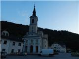
We drive to the parish church of St Anthony in Železniki, where we park in the marked asphalt parking lot between the church and the main road. The church is located a few 100 metres further from Domel, in the direction of Zale Log.
Path description:
From the parking lot, head towards the entrance to the church, and slightly to the left of the church, you will see steps with the sign Antonov Kindergarten. Go up the stairs, and at the top of the stairs go right. We pass the nursery and a few houses on the left, and we follow the cart track up to the crossroads by the hunting observatory.
From the crossroads go right (left along cart track, which also leads to Prtovč), and a little further on you will see the next marker. At the hayfield the path disappears completely, and we see the next marker on a tree a little higher up, from which we continue uphill, first along the edge of the forest, then through the forest, where the path reappears, and we quickly reach a slightly wider path. The ascent follows the above-mentioned path, which climbs quite steeply through the forest. Higher up, the path bends and leads to cart track, where it splits.
Continue left towards Prtovč (right Draboslovica) and follow cart track, which climbs moderately through the forest. A little further on you reach a ridge, which you continue to climb, following the markings at the crossroads. Higher up, the path becomes more level and a little further on you reach a dirt road, which you follow to the left. As we walk along the road, the cart track joins us from the left, and we continue crossing. The road then gradually passes onto the slopes of Štedel vrh (1145 m), and we leave it a little before the end and continue slightly right on the marked path. The path also leads us along the slopes of the above-mentioned peak, but as the path is little frequented and crosses several ravines and torrents and is less well maintained, there is a possibility of slipping on some of the steeper parts. When the crossing ends, we reach cart track, and after it we pass the old hayloft to reach the place where the path from Jesenovec joins us from the left. Continue straight ahead, passing under the route of a high-voltage power line, to reach a saddle between Pasko on the left and Štedel vrh on the right. From here we have a beautiful view of Ratitovec, and we follow the cart track, which descends gently, all the way down to where it joins the asphalt road, and along it we reach the church at Prtovč in a few 10 steps.

Pictures:
 1
1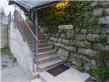 2
2 3
3 4
4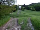 5
5 6
6 7
7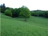 8
8 9
9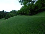 10
10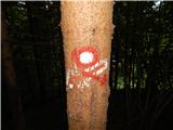 11
11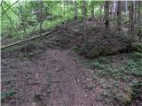 12
12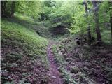 13
13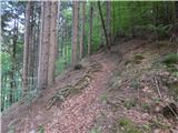 14
14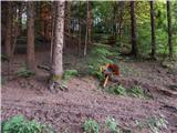 15
15 16
16 17
17 18
18 19
19 20
20 21
21 22
22 23
23 24
24 25
25 26
26 27
27 28
28 29
29 30
30 31
31 32
32 33
33 34
34 35
35 36
36 37
37 38
38 39
39 40
40 41
41
Discussion about the trail Železniki - Prtovč
|
| čomolungma14. 05. 2020 |
Lepo, mirno in neobljudeno. Na praznično nedeljo srečala samo eno srnico in par ptičkov  Pot v prvem delu kar strma, kasneje se umiri. Zelo zgledno označena.
|
|
|