Žerjav - Mučevo Gorge (Ferata Mučevo - red path)
Starting point: Žerjav (530 m)
| Lat/Lon: | 46,49021°N 14,87166°E |
| |
Name of path: Ferata Mučevo - red path
Time of walking: 1 h 40 min
Difficulty: extremely difficult marked way
Ferata: E
Altitude difference: 160 m
Altitude difference po putu: 160 m
Map: Koroška 1:50.000
Recommended equipment (summer): helmet, self belay set
Recommended equipment (winter): helmet, self belay set, ice axe, crampons
Views: 3.500
 | 3 people like this post |
Access to the starting point:
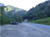
a) Drive to Mežica, then continue in the direction of Črna na Koroškem. Shortly before Žerjav, at the 8km marker, you will see a large gravel parking lot on the right hand side of the road.
b) From Šoštanj, drive over the Sleme Pass (the pass near which Andrejev dom na Slemenu is located) to Črna na Koroškem, where you take the exit from the roundabout in the direction of Mežica. Shortly after the end of Žerjav, you will see a large gravel parking lot on the left side of the road.
c) From Solčava take the Spodnje Sleme pass to Črna na Koroškem, where you take the exit from the roundabout in the direction of Mežica. Shortly after the end of Žerjav, you will see a large gravel parking lot on the left side of the road.
Path description:
From the parking lot, first cross the main road carefully, then continue along the pavement along the curb towards Mežice. Walk along the main road for about 200 metres and then you will see an information board on the right and a path leading to the protected climbing route Ferata Mučevo.
We take the above-mentioned path, which quickly leads us to a marked crossroads where the easier version of the climbing route (marked in blue) branches off to the right over a small bridge, and we turn left onto the more difficult route, which is marked in red.
From the crossroads, we continue walking along the gorge for a short distance, and then we see the start of the protected part of the trail on our right. If you continue along the gorge, you can bypass the initial climb of difficulty E by following the easier route. The protected route is extremely difficult from the very beginning and climbs vertically along a rock face (difficulty E). The climbing can also be difficult because the rock is often wet in this area. After the initial difficult climb, continue to the left where the above-mentioned route joins and bypasses the initial climb.
This is followed by another short, more difficult climb (difficulty D), then a slightly less difficult traverse to the left. The path, which is less difficult but exposed in places, then leads to the first bridge.
Before the bridge, the path splits again. To the right is the easier option, and we continue to the left across a small bridge that crosses a narrow gorge. On the other side there is a more difficult climb on almost vertical slabs, which leads to a second bridge (difficulty D). Cross the bridge and go through the gorge again to the right side where the easier option joins from the right. There is a climb up a steep slope and then a short crossing to the right, which brings you in front of a more difficult overhang (difficulty E). The overhang can be bypassed on the left side, where there is a slightly easier route.
Above the overhang, the path becomes less difficult for a while and then turns slightly to the right where it crosses the grassy terrain and climbs alongside the steel. The path then leads to the last more difficult ascent. A relatively short vertical climb leads us to a ridge where there is a registration box. Here our route also merges with the easier blue route. The last short vertical ascent can also be avoided by following the right-hand side.
From the registration box, cross a slightly longer bridge and then a shorter, less demanding climb along the ridge. The sheltered path then ends and the trail leads into the forest where there is also a bench along the way.
Further down the path begins to descend and just before kolovozom we will come to a crossroads where the signs direct us right down to a narrow path. This path is often muddy and can be quite slippery. A rope is therefore helpful, especially in the upper part. Follow this path downhill to the parking lot.
The protected climbing route described here is extremely difficult and is rated at difficulty level E. All the most difficult places can be avoided, in which case the route is rated at difficulty level D.
It is approximately 10 minutes' walk to the entrance to the climbing section. The estimated climbing time is 1h 30 min and 20 min for the descent.

Pictures:
 1
1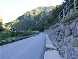 2
2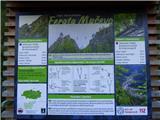 3
3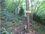 4
4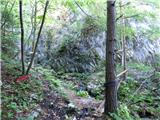 5
5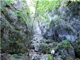 6
6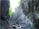 7
7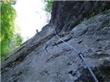 8
8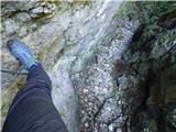 9
9 10
10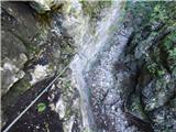 11
11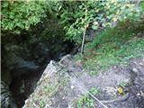 12
12 13
13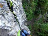 14
14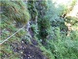 15
15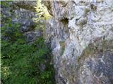 16
16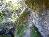 17
17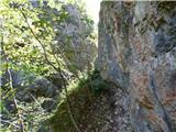 18
18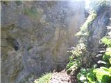 19
19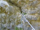 20
20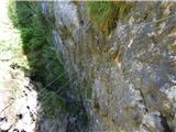 21
21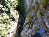 22
22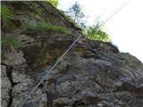 23
23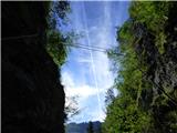 24
24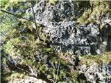 25
25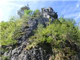 26
26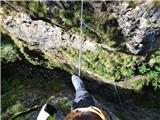 27
27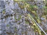 28
28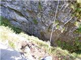 29
29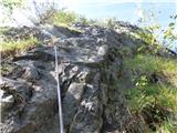 30
30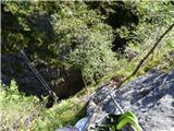 31
31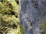 32
32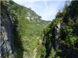 33
33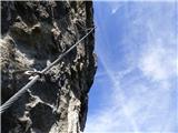 34
34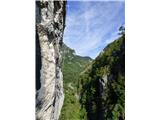 35
35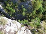 36
36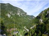 37
37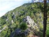 38
38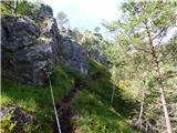 39
39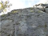 40
40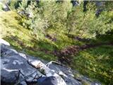 41
41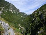 42
42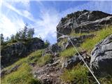 43
43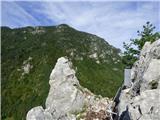 44
44 45
45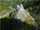 46
46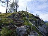 47
47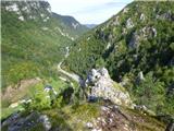 48
48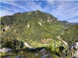 49
49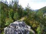 50
50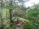 51
51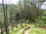 52
52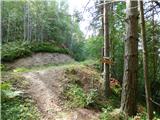 53
53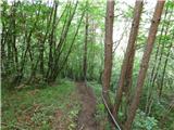 54
54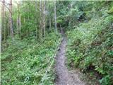 55
55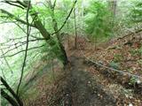 56
56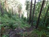 57
57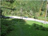 58
58
Discussion about the trail Žerjav - Mučevo Gorge (Ferata Mučevo - red path)