Starting point: Žetale (326 m)
| Lat/Lon: | 46,2743°N 15,79171°E |
| |
Time of walking: 2 h
Difficulty: easy unmarked way
Altitude difference: 269 m
Altitude difference po putu: 315 m
Map:
Recommended equipment (summer):
Recommended equipment (winter): ice axe, crampons
Views: 192
 | 1 person likes this post |
Access to the starting point:
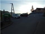
Leave the Podravje motorway at the Zakl exit, then follow the signs for Žetale. When you arrive in Žetale, turn left at the municipal building and park in the asphalt parking lot.
Path description:
From the parking lot, return to the main road and continue along it in the direction of Rogatec. At the Žetale Primary School, cross the main road at the pedestrian crossing and continue along the pavement to the nearby crossroads, where you turn right onto a side road, marked Donačka gora. Walk along this road for a short distance and then, in front of a nearby house, turn left onto cart track, which then ascends diagonally to the right and leads across a meadow into the woods. There is a short climb through the woods to reach the Church of Our Lady of Consolation.
Continue along the road, which descends gently to a marked crossroads, from which you turn right. From the crossroads, walk along the road for a short distance, as before the hamlet and after a small garage, continue left on the marked cart track in the direction of Donačka gora. Just a little further on, we return to the road, and this time we continue along it to the vicinity of the next house, in front of which we go slightly left on cart track, which then turns into a forest. This is followed by a longer crossing with a few short ascents and descents, where we occasionally approach individual houses, and occasionally we also get some views of the other side of the valley, where we can see Maceljska Gora. At a few small crossroads, follow the signs, but keep going in roughly the same direction. When you merge with the cycling transversal, go right and climb above the nearby stream. Higher up, leave the forest and climb through the hayfield to the saddle between Donačka gora and Resenik, where there is also a marked crossroads by a small hamlet.
Continue along the road as it continues south-westwards, and after a few steps a difficult path branches off to Donačka gora, and we continue along the road, which continues to climb diagonally to the right. A few minutes further on we arrive at a marked crossroads, where we continue straight ahead and continue along the road (on the left the difficult path to Donačka gora, on the right Kupčinji Vrh).
From the crossroads, walk along the road for a few minutes, then it ends at the turning point and we continue straight on cart track, which quickly leads us to the next marked crossroads.
Again, continue straight ahead (left on the difficult trail to Donačka gora) and continue crossing the northern slopes of Donacca Mountain. After a while, just past the hunting observation post, we reach a small, nondescript saddle, and we turn right from the marked trail onto an unmarked trail, which we follow for two minutes to reach Joški vrh.
Žetale - Church of Our Lady of Consolation 0:15, Church of Our Lady of Consolation - Joški vrh 1:45.
Description and pictures refer to the situation in April 2022.

Pictures:
 1
1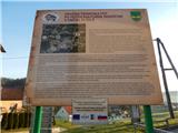 2
2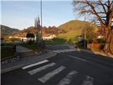 3
3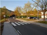 4
4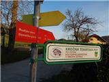 5
5 6
6 7
7 8
8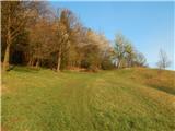 9
9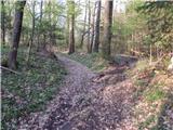 10
10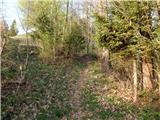 11
11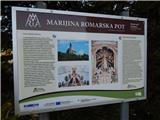 12
12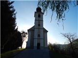 13
13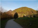 14
14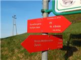 15
15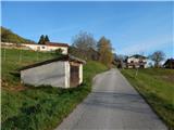 16
16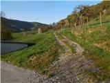 17
17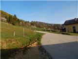 18
18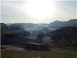 19
19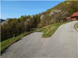 20
20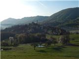 21
21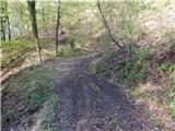 22
22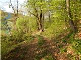 23
23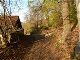 24
24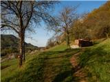 25
25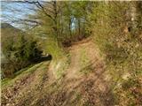 26
26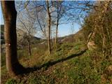 27
27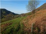 28
28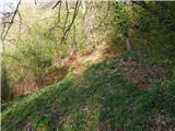 29
29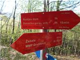 30
30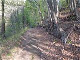 31
31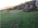 32
32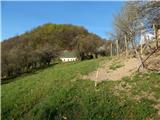 33
33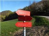 34
34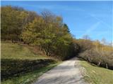 35
35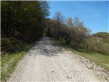 36
36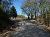 37
37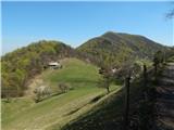 38
38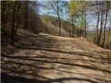 39
39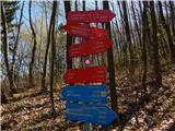 40
40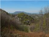 41
41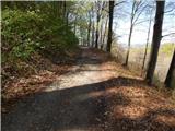 42
42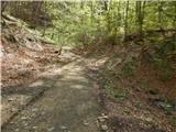 43
43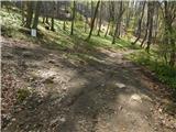 44
44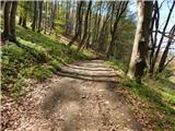 45
45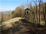 46
46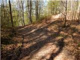 47
47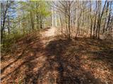 48
48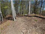 49
49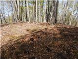 50
50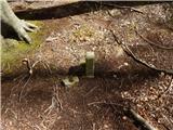 51
51
Discussion about the trail Žetale - Joški vrh