Zgornja Besnica (Podrovnik) - Sveti Mohor (Zabrekve)
Starting point: Zgornja Besnica (Podrovnik) (446 m)
| Lat/Lon: | 46,255°N 14,2674°E |
| |
Time of walking: 1 h 45 min
Difficulty: easy marked way
Altitude difference: 506 m
Altitude difference po putu: 540 m
Map: Škofjeloško in Cerkljansko hribovje 1:50.000
Recommended equipment (summer):
Recommended equipment (winter):
Views: 10.150
 | 1 person likes this post |
Access to the starting point:
a) From Ljubljana, take the old road to Kranj, then follow the main road to the bridge over the Sava River. Just before the bridge, we leave the main road and continue straight ahead towards Besnice. Continue through Rakovica and Spodnja Besnica, and follow the road to Zgornja Besnica, where the signs for Podrovnik point to the left. Continue through the village and turn left at a small crossroads, slightly downhill. The road continues along the Besnica stream, and we continue along it for about 100 m from the sign "Use forest road at your own risk" and then park in a suitable space at a small junction.
b) From Jesenice or Bled, take the motorway towards Ljubljana, and we follow it to the Kranj - West exit. Continue along the old regional road towards Ljubljana, and we follow it to Kranj, where we turn right towards Besnice, just after the bridge over the Sava River. Continue through Rakovica and Spodnja Besnica, and follow the road to Zgornja Besnica, where signs for the village of Podrovnik direct you to the left. Continue through the village and turn left at a small crossroads, slightly downhill. The road continues along the Besnica stream, and we continue along it for about 100 m from the sign "Use forest road at your own risk" and then park in a suitable space at a small junction.
Path description:
From the starting point, continue along the left-hand road, which quickly leads to a small crossroads. Continue straight ahead (left across the Pillar Spruce stream - the Pillar Spruce is similar to the Cypress, and there are 4 such spruces in Slovenia) along the road, which after a few minutes leads us over a small bridge, after which we leave the road and continue our ascent to the left along the marked path. The path climbs moderately, then quickly lays down and leads us onwards along the gently sloping cart track. The marked path returns to the road just at its end, and here we see a rather old direction sign with the inscription "Mohor", which directs us to the wide ascending cart track. Cart track continues to climb along the stream for some time, then leaves it and leads us partly through the forest and partly over short viewing slopes to the main ridge of the mountains rising south of Zgornja Besnica. Here we come to a crossroads of mountain paths, and we continue to the right (Špičasti hrib and Sveti Jošt on the left), where after a few steps of further walking we enter a macadam road. Follow the road to the right and slightly upwards, and it will quickly lead you out of the forest and onto a grassy ridge. The road then returns to the forest, where it first descends gently, then leads us in a slight ascent to the chapel at the hamlet of Bezovnica. Here the road descends to the local houses, where we see the signs for Sveti Mohor, which direct us slightly to the left. Walk through the yard of the farm building, then continue on the marked mountain path, which first climbs through the lane of a forest, then transitively lays down and leads out of the forest, where after a few steps it joins the path from the villages of Nemilje and Podblica.
Continue straight on here and after less than 5 minutes of further walking you will reach the summit with the Church of St. Mohor.

Pictures:
 1
1 2
2 3
3 4
4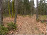 5
5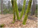 6
6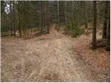 7
7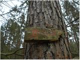 8
8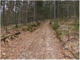 9
9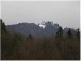 10
10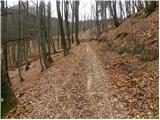 11
11 12
12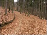 13
13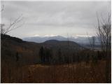 14
14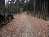 15
15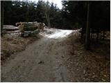 16
16 17
17 18
18 19
19 20
20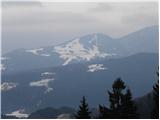 21
21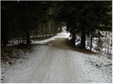 22
22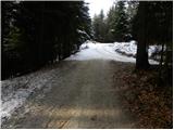 23
23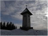 24
24 25
25 26
26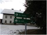 27
27 28
28 29
29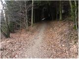 30
30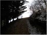 31
31 32
32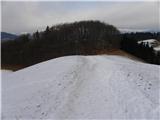 33
33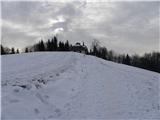 34
34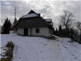 35
35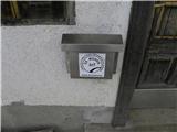 36
36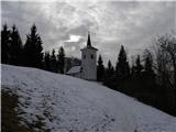 37
37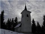 38
38 39
39
Discussion about the trail Zgornja Besnica (Podrovnik) - Sveti Mohor (Zabrekve)
|
| katty30. 01. 2012 |
Že kar nekaj časa je misel švigala proti Mohorju  . No, pa sem se dons tja odpravila  . Startala sicer kar pozno, ampak je bilo prav tako v redu, pa čeprav sem se v dolino vračala v soju lučke. Na vrhu se nam odpre zares lep razgled na Ratitovec  , smučišče Stari vrh, celoten greben Košute in pa seveda na Ksa z Kočno in Grintovcem na čelu  . Žig se nahaja pri eni izmed domačij v vasi Bezovnica. Sicer je pa tale sprehod primeren tudi za mlade družine, saj se pot lepo vije po gozdu, na vsake toliko časa se nam oprejo lepi razgledi na Kranj in vršace nad njem. Priporočam. Aja, zdele so pri cerkvici še jaslice, prav takšne, kot so tu na slikci  . Srečno in varno v gorah.
|
|
|
|
| katty30. 01. 2012 |
Aja, pa še to...v začetku je kar malo problema z markacijami---so kar v slabem stanju   , tudi tista 8 slikca še vedno drži. Tko da bi bilo lepo, če bi se eno izmed planinskih društev lepo potrudilo, pa mau obnovilo tele markacije   .
|
|
|
|
| babica 520. 03. 2021 |
V četrtek sem prehodila to pot, pa bi popravila del opisa: ...Ko pridemo na razgledno travnato sleme (slika 19), na križišču cest zavijemo desno. Cesta kmalu pride v gozd, se kar nekaj časa vzpenja, do kapelice se pa že malenkost spustimo. Sicer pa tale sprehod res priporočam.
|
|
|