Starting point: Zgornja Kungota (299 m)
| Lat/Lon: | 46,63858°N 15,61185°E |
| |
Time of walking: 35 min
Difficulty: easy marked way
Altitude difference: 122 m
Altitude difference po putu: 125 m
Map:
Recommended equipment (summer):
Recommended equipment (winter):
Views: 255
 | 1 person likes this post |
Access to the starting point:
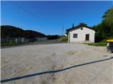
Take the Pesnica roundabout and take the exit for Lenart. Leave the road to Lenart v Slovenskih goricah quickly and continue right in the direction of Zgornja Kungota and Dolnja Pocehova, before entering the expressway, take another right in the direction of Zgornja Kungota. Continue along the main road to Zgornja Kungota, where in the middle of the village turn right uphill towards the cemetery, where you park.
Path description:
From the cemetery parking lot, continue along the road towards the nearby Church of St Kunigunde, where the first signs appear.
Here, a marked path branches off to the left downhill towards St. Urban, and we continue to the right, following the asphalt road. The road initially climbs, and from the path we have a view towards Zgornja Kungota and higher up Plački vrh, but higher up we pass through a slight descent, and the path leads us past occasional houses. There are a few small junctions where you follow the signs, and then, with views that reach transiently to Golica / Koralpa, you arrive at the nondescript Čajžič, where there is a registration box.
Description and pictures refer to the situation in August 2022.
Pictures:
 1
1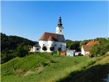 2
2 3
3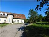 4
4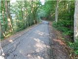 5
5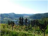 6
6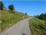 7
7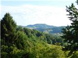 8
8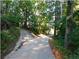 9
9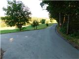 10
10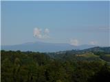 11
11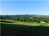 12
12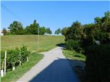 13
13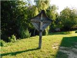 14
14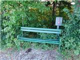 15
15
Discussion about the trail Zgornja Kungota - Čajžič