Zgornja Kungota - Sveti Urban above Maribor
Starting point: Zgornja Kungota (299 m)
| Lat/Lon: | 46,63858°N 15,61185°E |
| |
Time of walking: 1 h 40 min
Difficulty: easy marked way
Altitude difference: 296 m
Altitude difference po putu: 350 m
Map:
Recommended equipment (summer):
Recommended equipment (winter): ice axe, crampons
Views: 419
 | 1 person likes this post |
Access to the starting point:
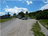
Take the Pesnica roundabout and take the exit for Lenart. Leave the road to Lenart v Slovenskih goricah quickly and continue right in the direction of Zgornja Kungota and Dolnja Pocehova, before entering the expressway, take another right in the direction of Zgornja Kungota. Continue along the main road to Zgornja Kungota, where in the middle of the village turn right uphill towards the cemetery, where you park.
Path description:
From the cemetery parking lot, continue along the road towards the nearby Church of St Kunigunde, where the first signs appear.
After the church, continue downhill to the left and in a few minutes you will reach the main road, which you will cross carefully at a pedestrian crossing. On the other side of the road, turn right and follow the pavement to the first crossroads, then the signs for Svečina direct you left onto a side road that crosses the river Pesnica via a bridge.
Just a little further on, go left again over the wooden bridge, and after it go right to continue on the overgrown path that runs between the field and the stream. A little further on, the path passes into the forest, where the path is still more difficult to follow, but we follow the markings. As you leave the forest, you reach cart track, which you follow towards a nearby farmhouse, bearing hard right in front of the farmhouse. The path ahead takes you through lane of the forest, and then you reach another road which leads you past some houses. A little further on, the road becomes asphalted, and a little further on, you reach a slightly wider road, which continues the ascent. From this road, turn right onto a footpath that climbs through the forest, and after a short descent, return to the road.
Continue along the marked road, which continues through the forest for a few minutes, and when you leave the forest, continue along the lookout ridge, where the path leads you past a few houses. Further along the ridge, you will again cross a slope and arrive at a triangular crossroads in the middle of which there is a sign.
Go left here (straight Gaj nad Mariborom) along the road, where the asphalt ends quickly, and then, with good views, climb up to the asphalt road, where it joins the carriageway to Sv. Urbano.
Continue left and into the woods, crossing the slopes. We quickly reach a crossroads where the road to the Hlade farm branches off to the right, and we continue straight ahead and soon leave the forest. There is a bit of a climb past individual houses, and higher up we can see the Church of St Urban quite close up. The path continues to lead us along the beautiful views of the surrounding area, and the marked path from Maribor (the path past Brunček) joins us from the left.
Continue straight ahead, leaving the asphalt road at an unmarked turnoff, where a path branches off to the right, leading to the top of Sv. Urbana.
There is a short cross-country climb over a scenic slope, and then you reach another road, which you follow to the right. Follow the road for another minute and you will reach the Church of St. Urban, which offers a beautiful view towards Maribor and the surrounding hills.
Description and pictures refer to June 2022.

Pictures:
 1
1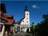 2
2 3
3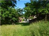 4
4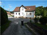 5
5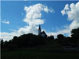 6
6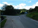 7
7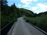 8
8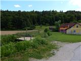 9
9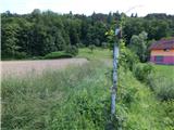 10
10 11
11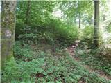 12
12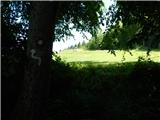 13
13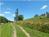 14
14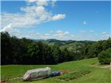 15
15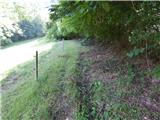 16
16 17
17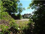 18
18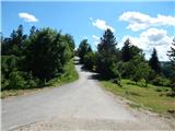 19
19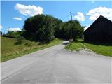 20
20 21
21 22
22 23
23 24
24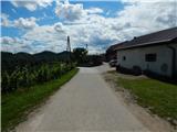 25
25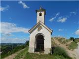 26
26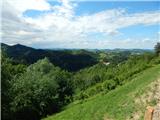 27
27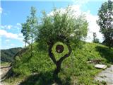 28
28 29
29 30
30 31
31 32
32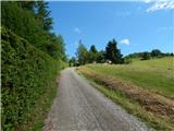 33
33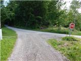 34
34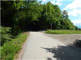 35
35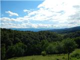 36
36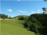 37
37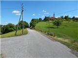 38
38 39
39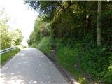 40
40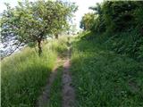 41
41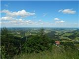 42
42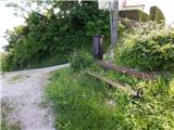 43
43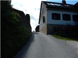 44
44 45
45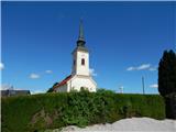 46
46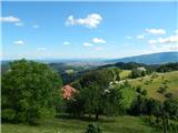 47
47
Discussion about the trail Zgornja Kungota - Sveti Urban above Maribor