Zgornje Jezersko - Old church of St. Ožbolt (Jezersko)
Starting point: Zgornje Jezersko (897 m)
| Lat/Lon: | 46,39531°N 14,49876°E |
| |
Time of walking: 15 min
Difficulty: easy unmarked way
Altitude difference: 64 m
Altitude difference po putu: 75 m
Map: Karavanke - osrednji del 1:50.000
Recommended equipment (summer):
Recommended equipment (winter):
Views: 714
 | 1 person likes this post |
Access to the starting point:
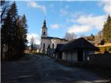
First, drive to Preddvor or to the settlement of Tupaliče (reachable from the Gorenjska highway or Kranj), then continue driving in the direction of Jezersko. At Zgornje Jezersko, by the Petrol station, turn left towards the parish church of St. Ožbolt. Just below the church, park in the parking lot next to the cemetery.
Path description:
There is also a crossroads next to the parking lot, and we turn slightly left, onto the road that begins to descend (straight ahead, the marked path leads past the parish church and on towards Virnikov Grintovec). After a short descent, we arrive at a marked crossroads, where we join a road on the left, which branches off from the main road slightly before the one that leads to the parking lot by the cemetery, and we continue to the right in the direction of the old church of St. Ožbolt.
The road, which is still slippery at first, leads us past a bench and a cross, and when it starts to climb more visibly, we go higher up past the chapel, where we continue along the road that runs alongside the chapel. After a few more minutes of scenic climbing, you will pass the Karničar farm and arrive at the old church of St. Ožbolt.
Pictures:
 1
1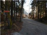 2
2 3
3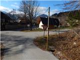 4
4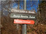 5
5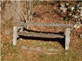 6
6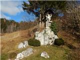 7
7 8
8 9
9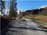 10
10 11
11 12
12 13
13 14
14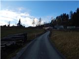 15
15 16
16 17
17 18
18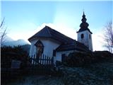 19
19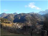 20
20 21
21
Discussion about the trail Zgornje Jezersko - Old church of St. Ožbolt (Jezersko)