Zgornji Goreljek - Javorov vrh (Pokljuka)
Starting point: Zgornji Goreljek (1279 m)
| Lat/Lon: | 46,3362°N 13,9651°E |
| |
Time of walking: 1 h 30 min
Difficulty: easy marked way
Altitude difference: 203 m
Altitude difference po putu: 250 m
Map: TNP 1:50.000
Recommended equipment (summer):
Recommended equipment (winter):
Views: 25.795
 | 2 people like this post |
Access to the starting point:
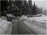
From the motorway Ljubljana - Jesenice take the exit Lesce and follow the road in the direction of Bled, where you will be directed to the right at the semaphorised junction marked for Pokljuka. Follow this road, which takes you through a few villages in the lower part and then starts to climb steeply, in the direction of the Sport Hotel on Pokljuka. At the crossroads near the hotel, turn slightly left and continue towards mountain pasture Goreljek and the Jelka ski lift, which is located next to the guest house of the same name. Park in the parking lot next to the information boards (the parking lot on the right side of the road is for visitors to the ski resort).
Path description:
From the parking lot, continue along the road which descends gently towards the lower part of mountain pasture Goreljek. After about 15 minutes' walk, you will come to a marked crossroads, where you continue to the right in the direction of mountain pasture Zajamniki. The ascent continues along the forest road, which quickly turns into a forest and then climbs only considerably. After a while the road passes mountain pasture Jelje on the right, and we follow it for a while, then we see signs for Javor's Peak on the right, which direct us to the right onto the initially wide footpath. The path ahead climbs moderately at first, then lays down for a while and leads us into the lane of a sparse forest. After a few minutes, the path returns to a dense spruce forest and starts climbing moderately again. Follow this path, along which you can see some old and rather faded markings, all the way to the overgrown Javor Peak.
From the top, continue a little further (westwards) and after a few 10 steps of further walking, you will reach a beautiful viewpoint from which a beautiful view of the highest peaks of the Julian Alps will open up to you.

Pictures:
 1
1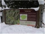 2
2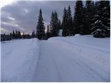 3
3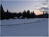 4
4 5
5 6
6 7
7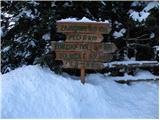 8
8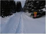 9
9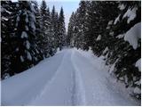 10
10 11
11 12
12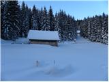 13
13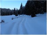 14
14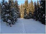 15
15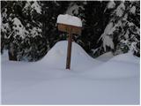 16
16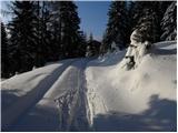 17
17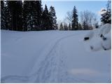 18
18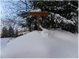 19
19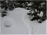 20
20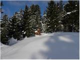 21
21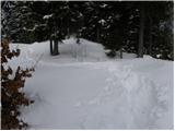 22
22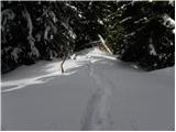 23
23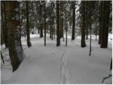 24
24 25
25 26
26 27
27 28
28 29
29 30
30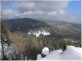 31
31
Discussion about the trail Zgornji Goreljek - Javorov vrh (Pokljuka)
|
| Breda28. 06. 2010 |
Včeraj sem bila na Javorovem vrhu. S ceste, ki pelje od Goreljka proti Zajamnikom, na ostrem ovinku zavijemo desno v gozd. Od ceste do vrha je kratek sprehod skozi gozd. Z vrha pa je lep pogled proti nekaterim vrhovom Julijcev. Vrh je v Bohinjski planinski poti, v kolikor potrebujete žig, pa s seboj vzemite blazinico. Na vrhu ni vpisne knjige. 
|
|
|
|
| gojzer7529. 10. 2010 |
Včeraj obiskal Javorov vrh, zelo lep in ne preveč mrzel dan, odlična "tura" za pozimi, da človek ne zastane... 
|
|
|
|
| frenk 4510. 05. 2011 |
gobe,gobe,gobe ali kdo ve, že rastejo na pokljuki
|
|
|
|
| heinz10. 05. 2011 |
kvečjemu tiste po oštarijah.. 
|
|
|
|
| turbo11. 05. 2011 |
Gobe, ja ja. Marsikdo pravi, da je šlo vse po gobe 
|
|
|
|
| Zvonček22. 08. 2017 |
Danes sem bila na Javorovem vrhu. Mogoče se je tabla za vrh videla leta 2010, sedaj so jo že prerasle smreke. Obrnila sem se šele pri tabli za Konjsko dolino in se na enem od ovinkov podala na stezo, ki se mi je zdela logična za vrh. Po 10 m sem se nehote ozrla in zagledala tablo Javorov vrh 1,6 km ( zakaj je zapisano še 1,6 km, pa res ne vem). Vrh je vreden obiska, saj je razgled izjemen.
|
|
|
|
| modrook1212. 07. 2020 |
Zdravo! Zanima me, kako je kaj označena pot? Lp Franci
|
|
|
|
| modrook1217. 07. 2020 |
Včeraj smo prehodili to pot. Pot je res zelo slabo označena. Nikjer nobenih markacij, tabla ki jo prikazuje slika št.20 jo res ne vidiš, ker je vse zaraščeno. Če si nebi zapomnil kako zgleda odcep iz slik, bi sigurno zgrešili. Oskrbnik poti bi moral bolj poskrbeti za pot.Sam vrh je lep-lep razgled.
|
|
|