Starting point: Žiri (499 m)
| Lat/Lon: | 46,0537°N 14,1198°E |
| |
Time of walking: 1 h 15 min
Difficulty: easy unmarked way
Altitude difference: 402 m
Altitude difference po putu: 402 m
Map: Škofjeloško in Cerkljansko hribovje 1:50.000
Recommended equipment (summer):
Recommended equipment (winter): crampons
Views: 10.031
 | 1 person likes this post |
Access to the starting point:
a) First drive to Škofja Loka, then continue driving towards Gorenjska vas and Žire. At the beginning of Žiri, turn left onto Dobračevská Street, which turns a little further into Kosovelova Street and Pod griči Street. At the crossroads of Pod griči Street and Jezerská Street, turn left towards the nearby transformer station, where the road to Javorč begins. There are no suitable parking places at the starting point.
b) From the motorway Ljubljana - Koper take the exit Vrhnika, then when you reach the old road, turn left towards Logatec, but follow it only to the first crossroads, from where you turn right towards Horjul and Stara Vrhnika. Follow the main road for a while towards Horjul, then turn slightly left towards the village Smrečje. After the village Podlipa, the road starts to climb steeply, and during the climb, the road from Horjul joins us from the right. Continue straight ahead and a little further to Smrečje, from where you continue along the main road towards Žire. The road then starts to descend through the Račeva valley, where at the bottom of the valley you can see the ski jumps of the nearby Nordic Centre Žiri. A little further on, you reach the outskirts of the town of Žiri, where the road splits in two. The main road turns slightly to the left, and we continue slightly to the right onto the street below Griči, which we follow to the junction with Jezersko Street, where we turn right towards the nearby transformer station. There are no suitable parking places at the starting point.
c) From the motorway Ljubljana - Koper, take the exit Logatec and then continue in the direction of Rovt and Žiri. Continue along the road, which is quite winding, until you reach Žiri, where you turn right in the centre of the town onto Jezerska Street, which you follow until you reach the transformer station, which is located on the outskirts of the town. There are no suitable parking spaces at the starting point.
Path description:
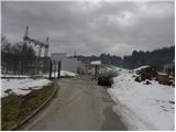
Before the substation, continue slightly right on cart track, which climbs gently at first along a mesh fence. The fence ends quickly and cart track begins to climb moderately up a grassy slope which is open to view. At first, we get some views of the Žirov basin and the surrounding hills, then the moderately steep, well-trodden but unmarked path gradually turns into what was at first still a sparse forest. The first part of the trail is a trim trail, so you can see some exercise equipment along the way. A little higher up, leave the trim track and continue the ascent on the well-trodden cart track. Although the path is not marked and splits into several parts, there are no major problems with orientation, as the paths leading uphill quickly merge again. Higher up, the trail, which partly follows an undistinguished wooded ridge, changes to a grassy slope, which offers a beautiful view of the Škofjeloško hribovje. On the upper part of the grassy slope you can see a small weekend house, which you pass on the right. Here the path returns to the forest, and we see the first markings along the way.
Continue along the wooded ridge, following the path which leads past the bunker of the former Rapallo border. A few minutes higher up, the path is laid and leads us out of the forest to a larger clearing, across which we quickly walk to the registration box at Javorč.
From the registration box, you can continue slightly left to the nearby road, which quickly leads to the hunting lodge, which is usually open at weekends.

Pictures:
 1
1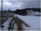 2
2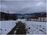 3
3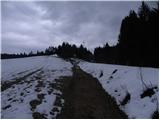 4
4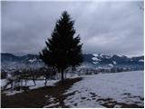 5
5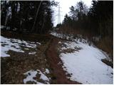 6
6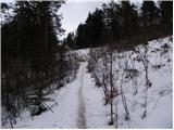 7
7 8
8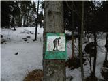 9
9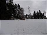 10
10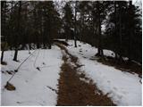 11
11 12
12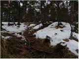 13
13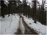 14
14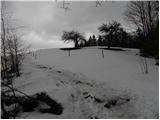 15
15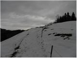 16
16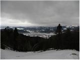 17
17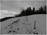 18
18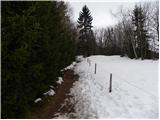 19
19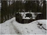 20
20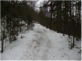 21
21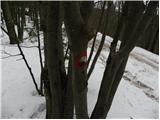 22
22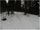 23
23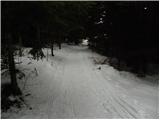 24
24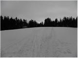 25
25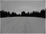 26
26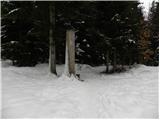 27
27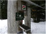 28
28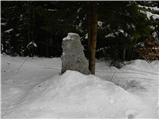 29
29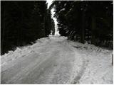 30
30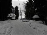 31
31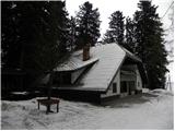 32
32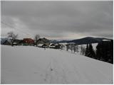 33
33
Discussion about the trail Žiri - Javorč