Zreče (cerkev sv. Egidija) - Sveti Martin (Zlakova) (po PP4)
Starting point: Zreče (cerkev sv. Egidija) (395 m)
| Lat/Lon: | 46,37444°N 15,38913°E |
| |
Name of path: po PP4
Time of walking: 40 min
Difficulty: easy marked way
Altitude difference: 194 m
Altitude difference po putu: 194 m
Map: Pohorje 1:50.000
Recommended equipment (summer):
Recommended equipment (winter): ice axe, crampons
Views: 54
 | 1 person likes this post |
Access to the starting point:
Path description:
Pictures:
 1
1 2
2 3
3 4
4 5
5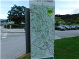 6
6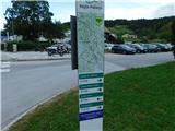 7
7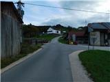 8
8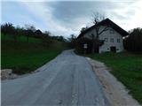 9
9 10
10 11
11 12
12 13
13 14
14 15
15 16
16 17
17 18
18 19
19 20
20 21
21 22
22 23
23
Discussion about the trail Zreče (cerkev sv. Egidija) - Sveti Martin (Zlakova) (po PP4)